Turn on suggestions
Auto-suggest helps you quickly narrow down your search results by suggesting possible matches as you type.
Cancel
- Home
- :
- All Communities
- :
- Products
- :
- ArcGIS CityEngine
- :
- ArcGIS CityEngine Questions
- :
- Re: How do I make a fictional map with no data, an...
Options
- Subscribe to RSS Feed
- Mark Topic as New
- Mark Topic as Read
- Float this Topic for Current User
- Bookmark
- Subscribe
- Mute
- Printer Friendly Page
How do I make a fictional map with no data, and from scratch?
Subscribe
8249
4
01-21-2014 06:05 PM
01-21-2014
06:05 PM
- Mark as New
- Bookmark
- Subscribe
- Mute
- Subscribe to RSS Feed
- Permalink
I would like to make my map, which is pure fiction into an arcGIS map. However, all I've been able to do with it is insert the image into the mxd and that's it. Basically nothing else I can do. No real world data fits my map, and I'd like to create features such as polygons, lines, and points, and from there, I'd like to start creating data to represent everything.
I am really new to ArcGIS, and am taking classes at Simon Fraser University. Is there anyway I can go about this?
Picture is here
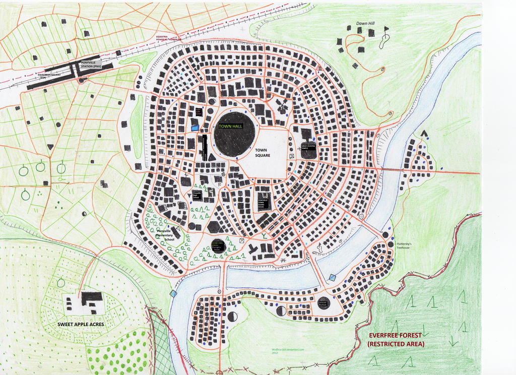
Please let me know, thanks.
(i feel like an idiot, that's why i posted this here)
I am really new to ArcGIS, and am taking classes at Simon Fraser University. Is there anyway I can go about this?
Picture is here
Please let me know, thanks.
(i feel like an idiot, that's why i posted this here)
4 Replies
01-22-2014
09:22 AM
- Mark as New
- Bookmark
- Subscribe
- Mute
- Subscribe to RSS Feed
- Permalink
You should take a look at the Cartographer's Guild.
One thing you can do is georeference the map--possibly to a known place as that would be an easy to get reasonable sizing. Or georeference the map, but use made-up 'links' (target coordinates) in meters or feet, so you can set the area that your map covers.
One thing you can do is georeference the map--possibly to a known place as that would be an easy to get reasonable sizing. Or georeference the map, but use made-up 'links' (target coordinates) in meters or feet, so you can set the area that your map covers.
01-22-2014
11:05 AM
- Mark as New
- Bookmark
- Subscribe
- Mute
- Subscribe to RSS Feed
- Permalink
Thanks Ms. Kennedy. Out of curiosity, how do/can I georeference this map? Say, with made-up links? I look up tutorials or information and not much I found could help me out.
01-22-2014
11:49 AM
- Mark as New
- Bookmark
- Subscribe
- Mute
- Subscribe to RSS Feed
- Permalink
I tried out a guide here at http://gpshort.uga.edu/instructions/gis/Georeference%20an%20image%20using%20ArcMap.pdf. I somehow picked the coordinate system for Anoka Co, MN, then set the units to feet. Then by 'add date' i imported the picture into ArcMap, and it split the image in 3 sublayers called bands. [ATTACH=CONFIG]30729[/ATTACH]
01-25-2014
05:51 AM
- Mark as New
- Bookmark
- Subscribe
- Mute
- Subscribe to RSS Feed
- Permalink
Randy,
Melita referred to a process of georeferencing the raster image, done using the Spatial Analyst extension. It basically takes the 0,0 cartesian that pixels of your picture are stored in, and scales & rotates them to fit onto a real world spatial coordinate system. The image can then be 'rectified' to recast the pixels into their correct coordinates as used in ArcGIS. As you've done thus far--all that has happened is the raster is placed as a layer into a data frame using its 0,0 origin. Realworld points will be 100's of thousands of feet from the current position.
Suggest that the alternative, CityEngine would allow you to generate your entire sceenscape. You can use realworld coordinate system or a simple cartesian. Look through some of the demo's and you'll get an idea why it might be the better choice for rendering your 'imaginary' game setting.
Regards
Stuart