- Home
- :
- All Communities
- :
- Products
- :
- 3D
- :
- 3D Questions
- :
- Import 3D Files
- Subscribe to RSS Feed
- Mark Topic as New
- Mark Topic as Read
- Float this Topic for Current User
- Bookmark
- Subscribe
- Mute
- Printer Friendly Page
Import 3D Files
- Mark as New
- Bookmark
- Subscribe
- Mute
- Subscribe to RSS Feed
- Permalink
Hi there,
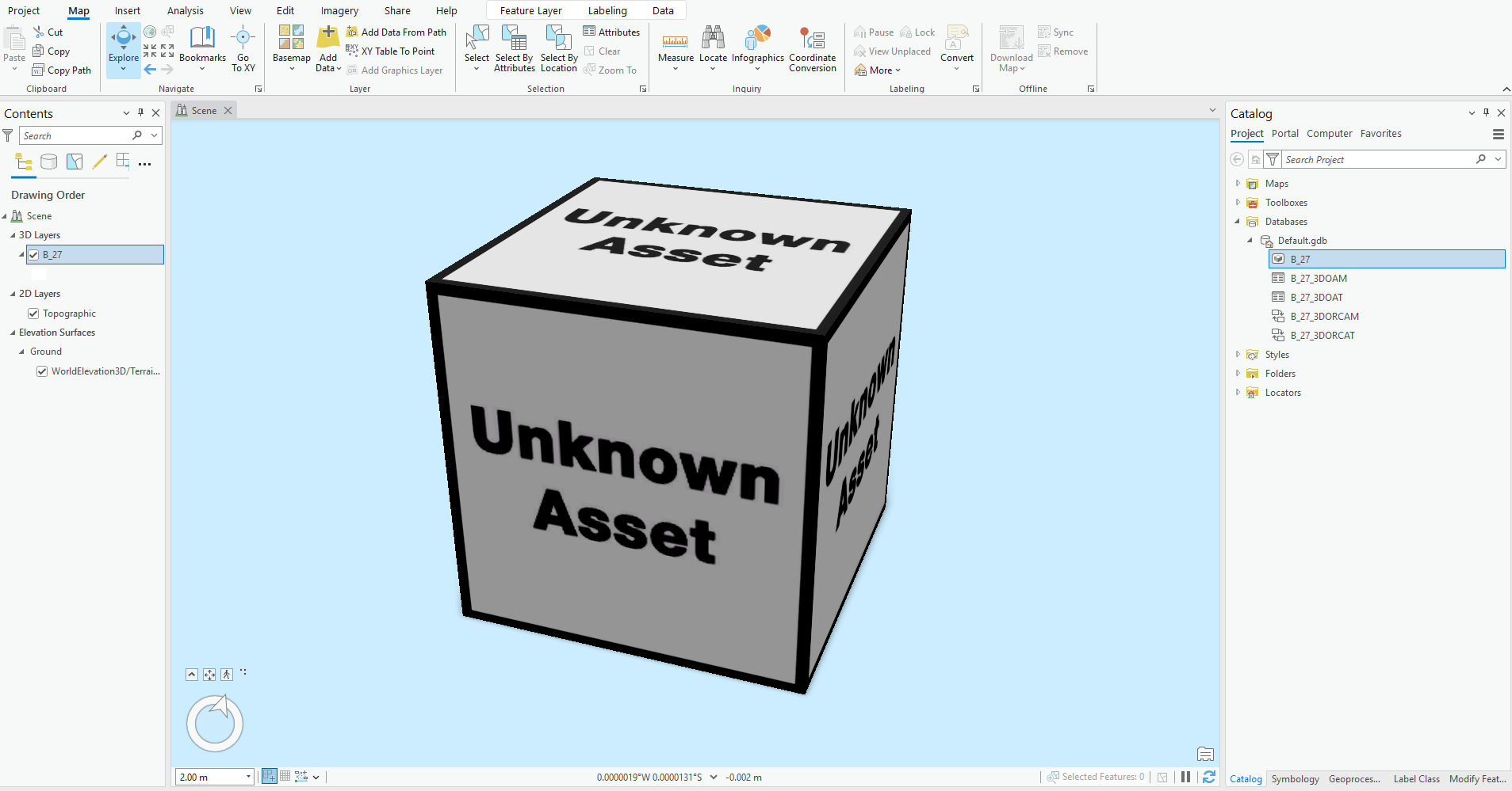
I’m trying to import a 3D file in .obj format using the Import 3D Files tool. For files under 2GB, the tool works fine and generates an output. However, when the file size exceeds 2GB, I encounter the error message: "050038: No Valid Files." I also tried using the Import 3D Objects tool to perform the conversion, and while it generates an output, the resulting file has an unknown asset label.
Thank you for your advice, I truly appreciate it.
- Mark as New
- Bookmark
- Subscribe
- Mute
- Subscribe to RSS Feed
- Permalink
Hi there,
I’m trying to import a 3D file in .obj format using the Import 3D Files tool. For files under 2GB, the tool works fine and generates an output. However, when the file size exceeds 2GB, I encounter the error message: "050038: No Valid Files." I also tried using the Import 3D Objects tool to perform the conversion, and while it generates an output, the resulting file has an unknown asset label.
Thank you for your advice, I truly appreciate it.
- Mark as New
- Bookmark
- Subscribe
- Mute
- Subscribe to RSS Feed
- Permalink
I'm experiencing the same issue. Have you found a resolution?
- Mark as New
- Bookmark
- Subscribe
- Mute
- Subscribe to RSS Feed
- Permalink
I've not gotten the import tools to work for some versions now. The most common issue I find is that when they do work, the models have their local coordinate origins ignored and a centroid is recalculated per OBJ or DAE and then insertion points are applied to that, messing up the spatial placement. I ended up having to switch to doing imports to GDB in FME as a result.
- Mark as New
- Bookmark
- Subscribe
- Mute
- Subscribe to RSS Feed
- Permalink
Would you mind sharing your FME Workbench? I'd like to give this a try.
- Mark as New
- Bookmark
- Subscribe
- Mute
- Subscribe to RSS Feed
- Permalink
Sure. I'm not sure if it'll let me attach a workbench, but you'll need to tweak yours anyway so a screenshot should set you on the right path.
In a nutshell, reader for all your OBJs/DAEs (using a wildcard on a folder), then a second reader on the insertion points file. Depending on the format and syntax of your insertion points (Point Z geometry in shapefile, ASCII CSV of coords, etc) you might have to knead this a bit, rename some attributes, use AttributeSplitter to strip extensions on the Filename field, etc. You can see in mine I have a disabled pipeline for a second format. But once it's all standardised with the filename and X, Y and Z values you just run FeatureMerger to merge the insertion point coords to each imported object using filename as key, and Offsetter to actually apply the insertion points (as each will come in positioned natively at 0,0,0).
Then write to GDB.
This will work using the origin of each OBJ or DAE. If you use the Import 3D geoprocessing tools in ArcGIS instead, whilst conveniently in the software, they are rather fussy and your insertion points seemingly need to be at the centroid of each OBJ (or each OBJ must have a centroid as origin) which may not always be practicable.
(Note: The reason to use rebased models and insertion points to begin with is because if you try to georeference a primarily non-GIS 3D format, I find most software will mulch it by running the vertices through single precision floats at some point creating "spatial jitter".)