Turn on suggestions
Auto-suggest helps you quickly narrow down your search results by suggesting possible matches as you type.
Cancel
- Home
- :
- All Communities
- :
- Products
- :
- 3D
- :
- 3D Questions
- :
- Create Sun Points Python Script
Options
- Subscribe to RSS Feed
- Mark Topic as New
- Mark Topic as Read
- Float this Topic for Current User
- Bookmark
- Subscribe
- Mute
- Printer Friendly Page
Create Sun Points Python Script
Subscribe
6280
11
10-03-2010 12:16 PM
10-03-2010
12:16 PM
- Mark as New
- Bookmark
- Subscribe
- Mute
- Subscribe to RSS Feed
- Permalink
I have been recently checking out the new 3D templates located here: http://resources.arcgis.com/gallery/file/3dgis
I'm currently trying to get the Create Sun Points python script to work and I'm having some issues.
I've installed the required python packages and the script seems to run fine, however the output is not quite correct. The points only seem to be created till midday. So, I'm setting the start time to 7am and the end time to 6pm, but it's only creating five points at 7am, 8am, 9am, 10am and 11am. I'm not sure why it's not creating the afternoon sun points. I've tried playing round with the settings with no luck.
Has anyone been using this script or know how it's put together?
11 Replies
01-27-2011
11:03 PM
- Mark as New
- Bookmark
- Subscribe
- Mute
- Subscribe to RSS Feed
- Permalink
Hello Shaun,
I apologize for the trouble you've experienced. Please use the attached script to generate the Sun sky map points instead of the one on the resource center link. That one will be updated with the one attached here shortly.
Hi, I also need some help here.
I've tried both the scripts (from resource and the attachment above), yet it keep returning me with the error message: There are no daylight times for the specified arguments.
I did a number of testings and realize, the problem might have to do with the time zones. (While the Eastern timezone works fine, error occurs on the western ones such as Hanoi, Tokyo, Hong Kong etc.)
Can you please give me some helpful guides??
Thanks
02-01-2011
09:53 PM
- Mark as New
- Bookmark
- Subscribe
- Mute
- Subscribe to RSS Feed
- Permalink
Hi athena.nc,
Would you like to attach some screenshots and/or email me your FGDB you're working with?
Cheers
Would you like to attach some screenshots and/or email me your FGDB you're working with?
Cheers
02-10-2011
12:59 PM
- Mark as New
- Bookmark
- Subscribe
- Mute
- Subscribe to RSS Feed
- Permalink
Hello Athena,
Apologies for the delayed response, I've been meaning to get back to this thread. I had been unable to reproduce the behavior you've experienced, and was wondering if your input data may not have a spatial reference defined, or possibly has the wrong projection assigned to it. Can you please confirm that it is properly georeferenced by using some reference data (e.g. a basemap)?
If it is properly defined, please let me know if you can share the data or provide some information about what spatial reference your data is in and the extent of the feature class.
Regards,
Khalid
02-13-2011
05:00 PM
- Mark as New
- Bookmark
- Subscribe
- Mute
- Subscribe to RSS Feed
- Permalink
Hi Kduri,
Thanks for your help in advance. I've checked my data and everything is spatially referenced (Hong Kong 1980 Grid).
I would like to send you the copy of my sample data, however attachments can only be up to 2MB here, is there somewhere that I can send my data through?
Thanks!
Regards,
Athena
Thanks for your help in advance. I've checked my data and everything is spatially referenced (Hong Kong 1980 Grid).
I would like to send you the copy of my sample data, however attachments can only be up to 2MB here, is there somewhere that I can send my data through?
Thanks!
Regards,
Athena
02-16-2011
03:52 PM
- Mark as New
- Bookmark
- Subscribe
- Mute
- Subscribe to RSS Feed
- Permalink
Hello Athena,
Can you export a small subset of the data, e.g. select one of the features and export it to a shapefile, then attach?
Regards,
Khalid
Can you export a small subset of the data, e.g. select one of the features and export it to a shapefile, then attach?
Regards,
Khalid
12-06-2017
01:05 AM
- Mark as New
- Bookmark
- Subscribe
- Mute
- Subscribe to RSS Feed
- Permalink
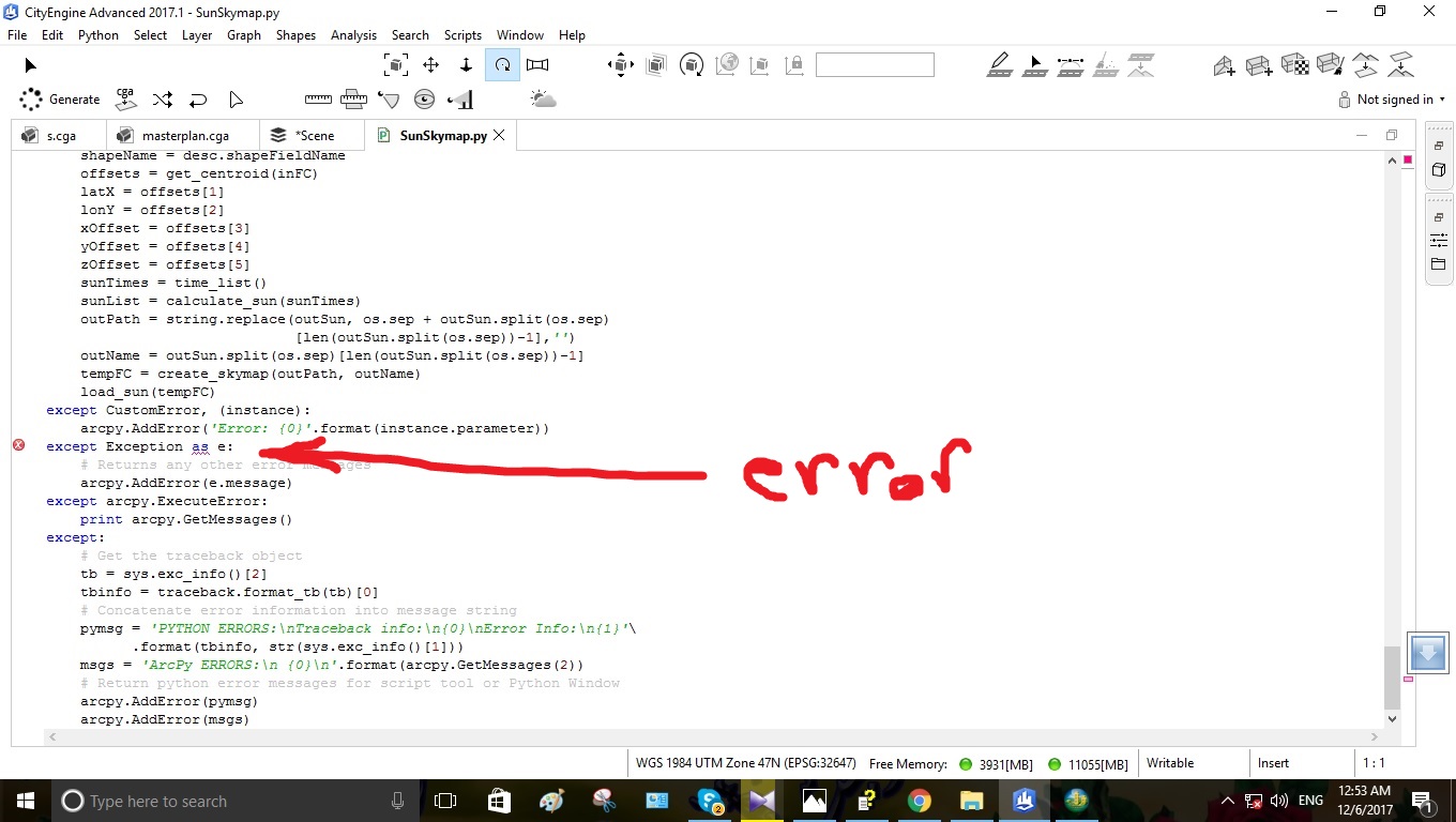
hi Kduri -esristaff - I think the Python code has a problem -Attach the corresponding image
12-06-2017
01:37 AM
- Mark as New
- Bookmark
- Subscribe
- Mute
- Subscribe to RSS Feed
- Permalink
If cityengine is using python 3.x, then that may be due to differences between try except error raising between python 2 and 3