Hi,
In my webscene, I am using the default Esri elevation layer:
WorldElevation3D/Terrain3D (ImageServer)
Although the terrain does show variation in the land surface, trees and Buildings remain flat, as shown in the picture
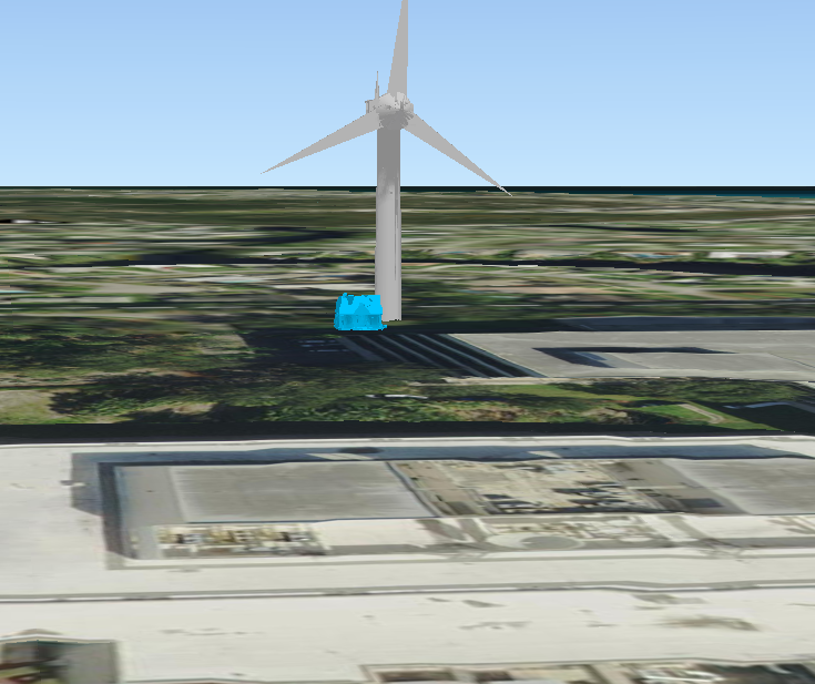
I'd like to have at least the trees/bushes be more realistic without having to manually create multiple 3D features (which would be very impractical for showing scenes word-wide) in a Globe Scene to represent realistic terrain.
Also, I am using Portal for ArcGIS WebScenes, and I don't see a way to exaggerate the ground layer.
Is there imagery, or world-wide 3D data available to accomplish what I want?
Sorry for all the @Mentions below, but I figured I'd reach out to some the greatest 3D professionals in the world that I've heard of:
Chris Andrews
Ivonne Seler
Philip Mielke
Eric Krause
Keith VanGraafeiland
Khalid Duri
Ken Field
Nathan Shephard
William Morrish
Tamrat Belayneh
Jie Chang
Lindsay Weitz
Stephen Heidelberg
Gianluca Miele
Javier Gutierrez
Javier Martínez Gutierrez
Michael Contreras
Kristian Ekenes
Jinwu Ma
Gert Van Maren
Phil Sanchez
Janett Baresel
Russell Roberts
Elevation Data

