Read our full collection of GeoMentor spotlights online. Want to be featured? Information is available on our program website.
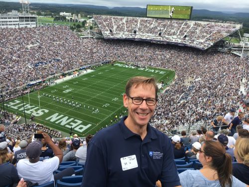
Position/Job and Affiliation: I am a GEOINT Officer at the National Geospatial-Intelligence Agency, a member of the San Diego Regional GIS Council and a Penn State Admissions Representative. For NGA, I currently serve as the GEOINT Liaison Officer to the Naval Information Warfare Systems Command (NAVWAR); For Penn State, I am the academic recruiter for the greater San Diego region. I am also the co-founder of “Geospatial San Diego”, a geospatial networking group that brings together various levels of government, academic, business geospatial enthusiasts who might not ever circulate together. We are very proud of the connections we facilitated which led to great GIS jobs!
What was your favorite class in K-12? Economics in junior high, followed closely by Social Studies and then by recess in K-6th! [No, we did not have a dedicated Geography class in K-12!]
How did you first learn about and/or use GIS? Before it was widely called “GIS”, I learned about GIS in Penn State’s Geography Department in 1988 when they offered it as one of the four Geography specializations. Embarrassingly enough for this forum, I eschewed that track in favor of Planning & Applied Geography (aka Urban Planning and Regional Development), which is still my hobby.
Name one things you love about GIS and/or geography. The foremost thing I love about geography (and what I always mention) is how applicable and pervasive geography is in today’s world. The field of Geography is so malleable that is can be applied to many, many, fields of study in the physical & social sciences, business, government & policy and anywhere folks apply ‘data science’. Global Navigation Satellite Systems, the open data movement and smart devices have really driven a resurgence in Geography in today’s world. The Internet of Things, Smart Cities, Data Science, Autonomous Vehicles and many societal issues & policies, all rely heavily on Geography, GIS, spatial and temporal data alignment and geospatial standards (go OGC!).
Why did you want to volunteer as a GeoMentor? I truly believe in the Geography Week & GIS Day program so I have been volunteering in my kids’ classrooms each year to be a guest speaker since 2012. Every year at our initial parent teacher meetings, I always ask if I can present during Geography week. I use a Geography topic or GIS to reinforce a current curriculum topic, which helps the teacher… I have never been turned away! We also have an analogous effort at work called “Partners in Education”, which is our geospatially-focused STEM outreach program. So, for me, it is a way to share my love of Geography, connect with my kids and their friends AND facilitate our agency’s STEM outreach mission.
What kind of GeoMentor volunteer opportunity and experience are you looking for? As a serial volunteer and having two jobs, I look for opportunities that I can afford with my work/life budget. One perfect fit has been to be a virtual mentor and virtual judge for the “My California GIS Mapping Showcase and Competition” run by the California Geographic Alliance. I feel that I am a good example that being a GeoMentor does not have to be an arduous time commitment.
If someone asked you why they should learn about GIS and/or geography, how would you respond in one sentence? GIS and Geography are foundational and pervasive throughout society and business today with the ubiquity of Global Navigation Satellite Systems, smart devices, open data and data science: Geographers and GIS experts are needed everywhere!
Email address: rwspacekraft@mac.com
Website(s): LinkedIn; Geospatial San Diego
Twitter: @rwspacekraft