Turn on suggestions
Auto-suggest helps you quickly narrow down your search results by suggesting possible matches as you type.
Cancel
- Home
- :
- All Communities
- :
- Products
- :
- ArcGIS Network Analyst
- :
- ArcGIS Network Analyst Questions
- :
- Closest Facility Analysis No Facilities Found for ...
Options
- Subscribe to RSS Feed
- Mark Topic as New
- Mark Topic as Read
- Float this Topic for Current User
- Bookmark
- Subscribe
- Mute
- Printer Friendly Page
Closest Facility Analysis No Facilities Found for Incidents
Subscribe
5481
8
03-19-2013 08:20 AM
03-19-2013
08:20 AM
- Mark as New
- Bookmark
- Subscribe
- Mute
- Subscribe to RSS Feed
- Permalink
- Report Inappropriate Content
I am trying to run a closest facility analysis but routes are only being calculated for 4 of my 54 incidences. For the remaining 50 incidences I get... �??Warning: No "Facilities" found for "XXX" in "Incidents"�?�. It looks like the routes are not making turns at any junctions.
I have found that a connectivity issue is usually the case, but I have created a network dataset from the New Jersey Roadway network http://www.state.nj.us/transportation/gis/data.shtm and it looks like the network is connected and it comes up with junctions at every interest when the network dataset is created. I have also snapped the facilities and incidences to the network.
The only attribute I have in my network dataset is �??length�?� as a cost because I am only concerned with the distance traveled when determining a route.
I have had the connectivity policy set to any vertex and end point, and neither has worked.
Any help would be appreciated.
Thanks,
Brent
8 Replies
03-19-2013
10:56 AM
- Mark as New
- Bookmark
- Subscribe
- Mute
- Subscribe to RSS Feed
- Permalink
- Report Inappropriate Content
P.S. I did run integrate and planarize on the network
03-19-2013
10:57 AM
- Mark as New
- Bookmark
- Subscribe
- Mute
- Subscribe to RSS Feed
- Permalink
- Report Inappropriate Content
I am trying to run a closest facility analysis but routes are only being calculated for 4 of my 54 incidences. For the remaining 50 incidences I get... �??Warning: No "Facilities" found for "XXX" in "Incidents"�?�. It looks like the routes are not making turns at any junctions.
I have found that a connectivity issue is usually the case, but I have created a network dataset from the New Jersey Roadway network http://www.state.nj.us/transportation/gis/data.shtm and it looks like the network is connected and it comes up with junctions at every interest when the network dataset is created. I have also snapped the facilities and incidences to the network.
The only attribute I have in my network dataset is �??length�?� as a cost because I am only concerned with the distance traveled when determining a route.
I have had the connectivity policy set to any vertex and end point, and neither has worked.
Any help would be appreciated.
Thanks,
Brent
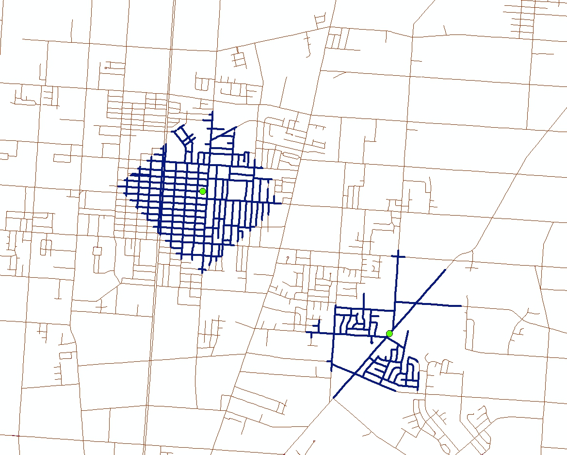
I just downloaded the shapefile, imported it into my own pgdb and then clipped out a dense area on the east side of the state. (Not familiar with NJ, so I don't know the town).
Looks like there are some major connectivity issues to me. Or should I say lack there of. See the attached screen shot. For each of the selected streets, I only 'clicked' on one end to select it. Shouldn't there should be intersections along the way?
Try to create a service area by just interactively dropping a 'facility' around the state and see what you come up with. My guess is you'll see a lot of what I show here.
That should just about do it....
03-19-2013
12:49 PM
- Mark as New
- Bookmark
- Subscribe
- Mute
- Subscribe to RSS Feed
- Permalink
- Report Inappropriate Content
Thank you for the response
Here is what I came up with for the service area test...
[ATTACH=CONFIG]22763[/ATTACH]
I see what you are talking about, I planarized the network to divide the network at each intersection and still not luck.
Unfortunately my facilities and incidents are spread throughout the southern 2/3rds of the state.
Thanks,
Brent
03-19-2013
01:59 PM
- Mark as New
- Bookmark
- Subscribe
- Mute
- Subscribe to RSS Feed
- Permalink
- Report Inappropriate Content
Hello, Brent. Do you have any Cutoff values set? The solver won't look beyond the cutoff, even if no facility/incident is found. There are two places where you can set a cutoff:
1) In the layer properties. What is set in Layer Properties > Analysis tab > Default Cutoff Value?
2) In the facilities features attribute table. Open the attribute table for Facilities...is there anything besides null values in the Cutoff_Length field?
Robert
1) In the layer properties. What is set in Layer Properties > Analysis tab > Default Cutoff Value?
2) In the facilities features attribute table. Open the attribute table for Facilities...is there anything besides null values in the Cutoff_Length field?
Robert
03-19-2013
02:58 PM
- Mark as New
- Bookmark
- Subscribe
- Mute
- Subscribe to RSS Feed
- Permalink
- Report Inappropriate Content
Brent- given what I saw in the original data, you're doing better than I thought you would. I was thinking along the same lines as what Robert mentioned; if your cut off values are too low, you could be shutting down before you really want to.
That should just about do it....
03-19-2013
03:03 PM
- Mark as New
- Bookmark
- Subscribe
- Mute
- Subscribe to RSS Feed
- Permalink
- Report Inappropriate Content
Thank you for the reply.
The default cutoff value (under: Layer Properties > Analysis tab > Default Cutoff Value) was null, but I set it to a 1000 miles to see if that did anything.
and...
In the attribute table for Facilities there are only null values in the Cutoff_Length field.
I am at a loss.
Thanks,
Brent
The default cutoff value (under: Layer Properties > Analysis tab > Default Cutoff Value) was null, but I set it to a 1000 miles to see if that did anything.
and...
In the attribute table for Facilities there are only null values in the Cutoff_Length field.
I am at a loss.
Thanks,
Brent
03-19-2013
05:54 PM
- Mark as New
- Bookmark
- Subscribe
- Mute
- Subscribe to RSS Feed
- Permalink
- Report Inappropriate Content
Brent,
This is what I tried:
Next, I did the following:
Can you send the data if you continue to get the same errors?
Thanks,
Robert
This is what I tried:
- I downloaded the statewide NJ data.
- Created a network dataset without doing any pre-processing (i.e., I didn't run Integrate). Used the state plane coordinate system of the original data and any-vertex connectivity.
- 80+ incidents solved in the Closest facility layer I created (albeit with non-optimal routes due to connectivity issues). Luckily, one of the random locations caused the closest facility solver to fail as you described. The location was at 391014.512, 675271.703 feet. It appears to be a cul-de-sac.
Next, I did the following:
- Ran Integrate on the road data.
- Rebuilt the network dataset to incorporate the changes. (emphasis added here just for the off chance this step was missed previously.)
- And set up the same problem but on a new CF layer.
- The problem was fixed.
Can you send the data if you continue to get the same errors?
Thanks,
Robert
03-21-2013
05:12 AM
- Mark as New
- Bookmark
- Subscribe
- Mute
- Subscribe to RSS Feed
- Permalink
- Report Inappropriate Content
It is working now. I rebuilt the network, put it in a new geodatabase and feature dataset and loaded everything into a new map. Maybe it was one or all of those things but it is work (at least for the time being).
Thank you for your help
Thank you for your help