- Home
- :
- All Communities
- :
- Developers
- :
- Python
- :
- Python Questions
- :
- Using Python to scrape points from a google map em...
- Subscribe to RSS Feed
- Mark Topic as New
- Mark Topic as Read
- Float this Topic for Current User
- Bookmark
- Subscribe
- Mute
- Printer Friendly Page
Using Python to scrape points from a google map embedded on a website
- Mark as New
- Bookmark
- Subscribe
- Mute
- Subscribe to RSS Feed
- Permalink
Hi everyone,
I am trying to use the requests library + beautiful soup to pull information on the antenna points from the map shown on this website.
My original plan was to iterate through site numbers, pull out the lat/long information that appears on the left hand panel when a point is clicked, and display that data in Arc. So far I have accessed the <div> element where that information is located when the point is clicked (<div> id = selectedsite ... </div>). But the element turns up empty in python seemingly because nothing is clicked?
This is my first time web scraping and I have limited HTML knowlege, if there is another approach that would be better or any pointers you could offer that would be greatly appreciated 
import requests from bs4 import BeautifulSoup #api_key = 'AIzaSyAv5Ru8AQCc9ZvfcrdYEg9SGHyDZqv55T0' #Prettify HTML source = requests.get("http://www.sites.bipt.be/").text soup = BeautifulSoup(source, 'lxml') print(soup.prettify()) # Class where information on the selected site is located - turns up empty div = soup.find(id='selectedsite') print(div.prettify())
- Mark as New
- Bookmark
- Subscribe
- Mute
- Subscribe to RSS Feed
- Permalink
Are any esri products involved in the process? or is this a pure python question?
If the latter...
Stack Overflow - Where Developers Learn, Share, & Build Careers
might be a better venue
- Mark as New
- Bookmark
- Subscribe
- Mute
- Subscribe to RSS Feed
- Permalink
Thanks for this advice - I have cross posted on stack overflow as well.
- Mark as New
- Bookmark
- Subscribe
- Mute
- Subscribe to RSS Feed
- Permalink
I can see a link to download a spreadsheet which exposes coordinates:
http://www.sites.bipt.be/lijst-liste.xlsx
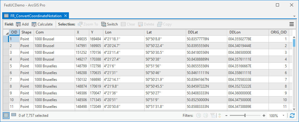
I simplified it (attached, using Data Interoperability extension).
Then Convert Coordinate Notation tool can expose lat/long better: