- Home
- :
- All Communities
- :
- User Groups
- :
- Esri Forestry Group (EFG)
- :
- Questions
- :
- Creating Sub-Blocks
- Subscribe to RSS Feed
- Mark Topic as New
- Mark Topic as Read
- Float this Topic for Current User
- Bookmark
- Subscribe
- Mute
- Printer Friendly Page
Creating Sub-Blocks
- Mark as New
- Bookmark
- Subscribe
- Mute
- Subscribe to RSS Feed
- Permalink
Hi, I'm a newbie in this thing.
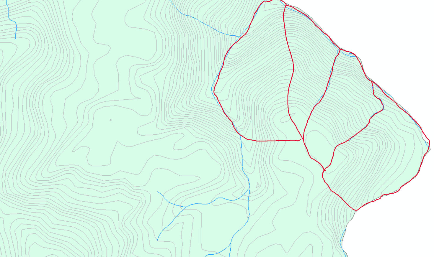
I'm trying to create some sub-blocks within a block. The idea is to divide the block to sub-blocks which follow natural features like river/stream, block's boundary, topography etc. And, the neighbouring sub-blocks should share the boundary. I don't how to make it right, snapping is not the right choice for me when tracing the stream and border especially on location with lot of curve. Could someone suggest the best way to make it done? thanks in advance. I posted some photos just to share what I try to do. Thanks again.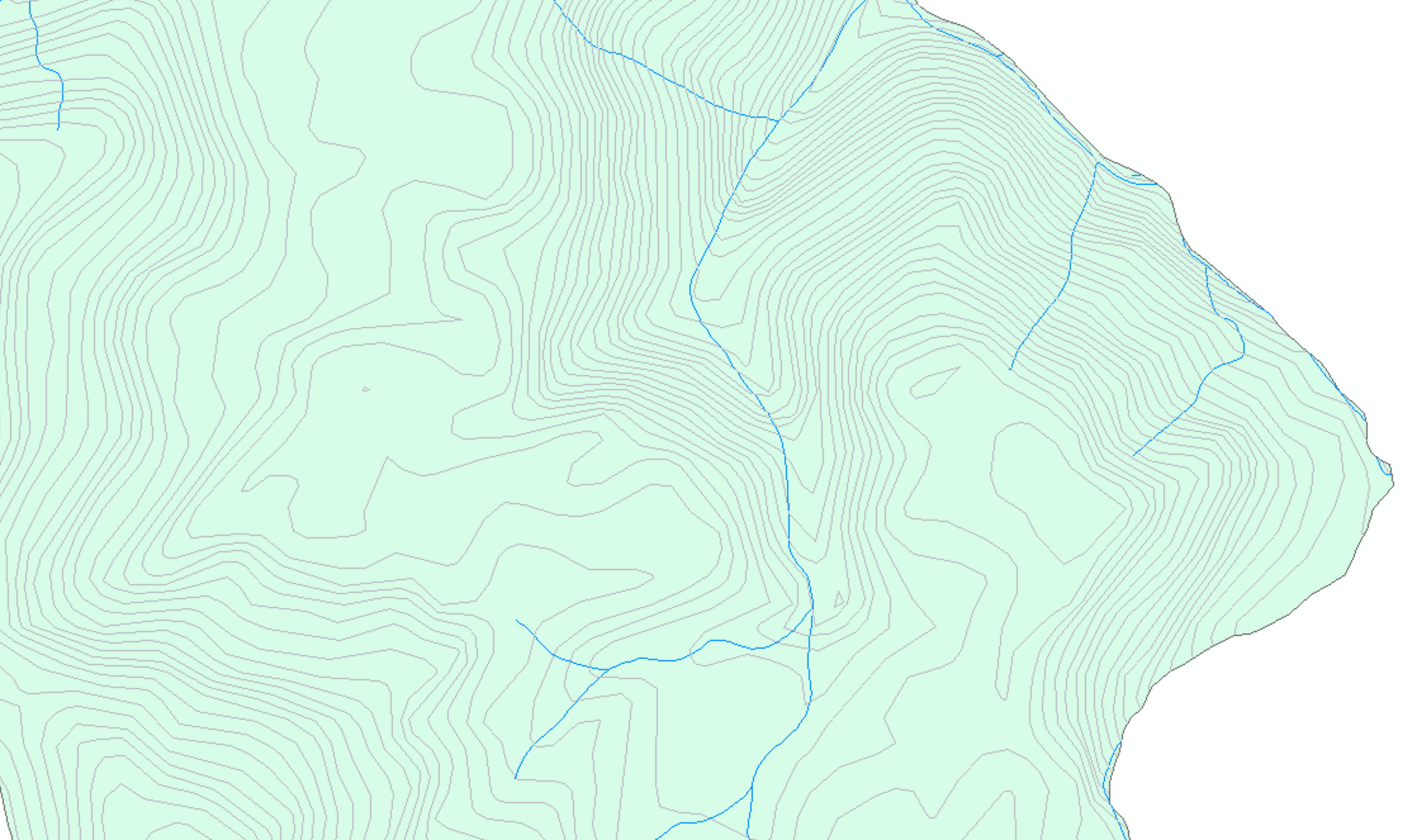
- Mark as New
- Bookmark
- Subscribe
- Mute
- Subscribe to RSS Feed
- Permalink
The simple way would be to use the trace tool when digitizing your polygon features. This tool will trace around the boundaries of existing features in your map.
The more advanced way is to use topologies, which utilize a set of rules for feature classes within a feature dataset (e.g., features can’t overlap, can’t have gaps, etc). I’d start with the simple approach first.
- Mark as New
- Bookmark
- Subscribe
- Mute
- Subscribe to RSS Feed
- Permalink
Tq for your response. Since I try to make a smaller polygon within that bigger block polygon, I’m using trace tool to follow the outer boundary, but at some point, I need to cut through and follow the stream and/or the ridges. Seems that trace tool didn’t work together with freehand tool, or am I missing something here? Thank you.
- Mark as New
- Bookmark
- Subscribe
- Mute
- Subscribe to RSS Feed
- Permalink
If the stream or topographic layers are vector features in your project, then you can trace along them as well. I'm not sure about the possibility of tracing raster features with the digitize tools. So let's assume they are vectors. It may be easier when you need to trace the boundary along the stream to turn off the topographic features so the tool doesn't try to pick them up. Then turn off the stream layer when you want to trace along the topography. Since there are multiple topography lines and they are really close together in places, I suggest you zoom in close to differentiate these features. When you need to traverse across these feature lines, then you will need a different tool, such as freehand. You can switch from one tool to another while digitizing the features.
- Mark as New
- Bookmark
- Subscribe
- Mute
- Subscribe to RSS Feed
- Permalink
My preference when making sub-blocks is to copy the entire block to the sub-block featureclass, then cut the large feature into smaller ones. That leaves the boundaries the same, and you don't have to be concerned about missing small areas where you didn't quite make it to the other line/corner. I also second the recommendation on using topologies. Without topologies, it is way too easy to edit one thing and lose the spatial relationship with the sub/super feature.