- Home
- :
- All Communities
- :
- Products
- :
- ArcGIS Production Mapping
- :
- ArcGIS Production Mapping Questions
- :
- How can I make a Grid Layer with numbering outside...
- Subscribe to RSS Feed
- Mark Topic as New
- Mark Topic as Read
- Float this Topic for Current User
- Bookmark
- Subscribe
- Mute
- Printer Friendly Page
How can I make a Grid Layer with numbering outside of my Data Frame at my set scale in layout view?
- Mark as New
- Bookmark
- Subscribe
- Mute
- Subscribe to RSS Feed
- Permalink
I'm having a lot of trouble getting my head around the Make Grid and Graticule Layer tool.
I have a polygon for my area of interest - set to a specific scale for my map layout. I can generate a grid layer using the aforementioned tool, however the grid numbers in the marginalia don't appear. When I stretch the data frame out to try and find them, I can kinda see them if I stretch left-right direction, but if I stretch in the up-down direction, I'm back where I started...no marginalia
The more I resize the data frame, the more I am chasing the marginalia which never appears fully in layout view. If I change the scale, then I can see the whole grid layer - but I don't want to change the grid scale, because my map then won't be the scale I'm after.
If I flip to data view and I can see everything appearing as it should. So why won't it fit properly in layout view?
I'm so confused... I can't find a decent tutorial on this tool anywhere.
- Mark as New
- Bookmark
- Subscribe
- Mute
- Subscribe to RSS Feed
- Permalink
Hi Justin
See the usage note below for adjusting the data frame to the grid. Note that the grid XML defines the grid scale and that scale will be applied to the data frame with the setting below. I've also added a link to a tutorial.
Make Grids And Graticules Layer—Help | ArcGIS Desktop
If you are accessing the tool from ArcMap, checking the Configure data frame and layout using grid settings check box ensures that the data frame on the layout is adjusted to best fit the created grid. The data frame's coordinate system, scale, rotation, size, extent, and clipping can be altered to match the XML grid specification. This setting is only available when the tool is executed from the ArcMap layout view and is not being run in the background. The default for this check box is unchecked, which will not change any of your data frame properties.
Exercise 2: Creating grids and graticules layers—Help | ArcGIS Desktop
Regards,
Bo
- Mark as New
- Bookmark
- Subscribe
- Mute
- Subscribe to RSS Feed
- Permalink
Thanks Bo, I have had a bit of a play around with the checkbox you identified, but still am not really any clearer on how to achieve what I want. I've noticed the data frame is changing around which I don't think I want. I want to set it and forget it.
The data frame is naturally my area of interest. Do I need to shrink the data frame within the map layout to account for the grid/graticule elements that will be generated around it? How can I get the grid/graticule elements to fall exactly within my neatline?
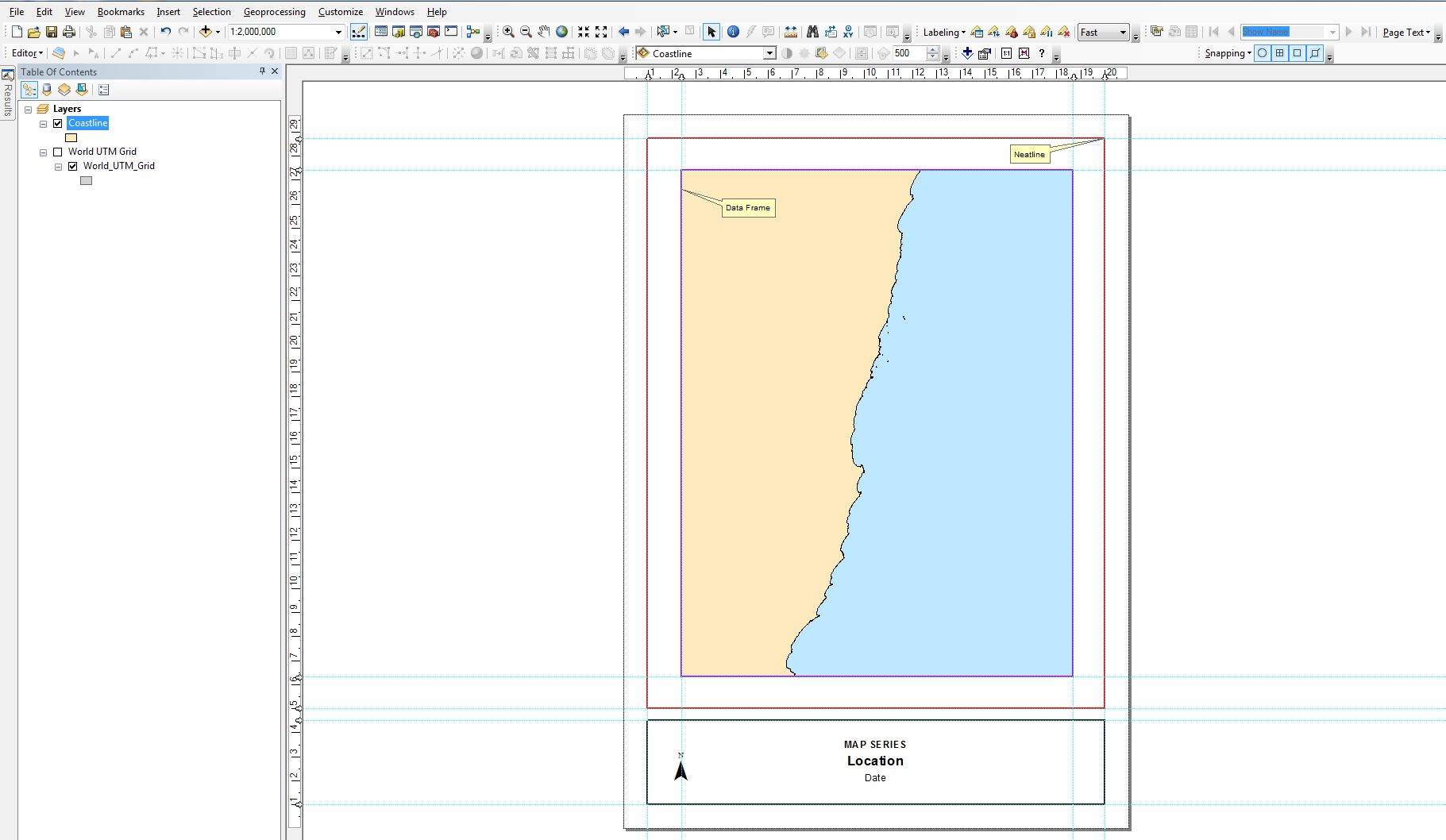
How do you know how much paper space the XML grid numbering system will take up?
How do you ensure it fits within the neatline whilst maintaining the area of interest at the correct scale?
- Mark as New
- Bookmark
- Subscribe
- Mute
- Subscribe to RSS Feed
- Permalink
Hi Justin
If you don’t want the data frame size to change and you would like to display the grid at the edge of the data frame, then you may want to try the data frame grid properties, rather than creating feature grids with the GP tool. The data frame grids can place labels outside the extent of the data frame, which sounds like what you are after.
What are grids and graticules?—Help | ArcGIS Desktop
Regards,
Bo