- Home
- :
- All Communities
- :
- Products
- :
- ArcGIS Pro
- :
- ArcGIS Pro Questions
- :
- Import SketchUp file
- Subscribe to RSS Feed
- Mark Topic as New
- Mark Topic as Read
- Float this Topic for Current User
- Bookmark
- Subscribe
- Mute
- Printer Friendly Page
Import SketchUp file
- Mark as New
- Bookmark
- Subscribe
- Mute
- Subscribe to RSS Feed
- Permalink
I've got a SketchUp file that I would like to import into ArcPro (or ArcMap) in order to create an interactive webmap.
I've got 3D Analyst, and am trying to use the Import 3D Files tool, but keep getting an error: "model more recent than reader"
Is there another way to get the features and attributes from SketchUp into ArcGIS? Should I have more files than one *.skp?
Is there a way to determine the version of the SketchUp model by just having an .skp file?
- Mark as New
- Bookmark
- Subscribe
- Mute
- Subscribe to RSS Feed
- Permalink
Do you have the Data Interoperability extension? That also can import *.skp files as well.
- Mark as New
- Bookmark
- Subscribe
- Mute
- Subscribe to RSS Feed
- Permalink
Thanks for this tip! 
It took a couple of hours, but I downloaded and installed the extension. Then managed to import the skp file.
But now I've got one feature with a hundred or so buildings and also some lakes, rivers, roads, trees, etc. Is there a way I can break those apart so that each building is one feature?
- Mark as New
- Bookmark
- Subscribe
- Mute
- Subscribe to RSS Feed
- Permalink
Not sure if this will work but there's an Explode command on the Modify Features pane that makes individual features from a multipart line/polygon. What type of feature class is the output from the SketchUp file? Is it a point/line/polygon/multipatch?
- Mark as New
- Bookmark
- Subscribe
- Mute
- Subscribe to RSS Feed
- Permalink
It is a multipatch feature class.
It also doesn't have a spatial reference. Can I georeference it like I would an image before I "explode" it?
- Mark as New
- Bookmark
- Subscribe
- Mute
- Subscribe to RSS Feed
- Permalink
When you add your newly created feature class in ArcMap, what are the coordinates displayed in the Data Frame? Are they page page (i.e. 2, 😎 or are they Lat-Long (i.e. -105.37, 37.5) or are they in hundreds of thousands or millions? It could be that the data is already in a coordinate system and the only thing you'd have to do is Define the Projection.
- Mark as New
- Bookmark
- Subscribe
- Mute
- Subscribe to RSS Feed
- Permalink
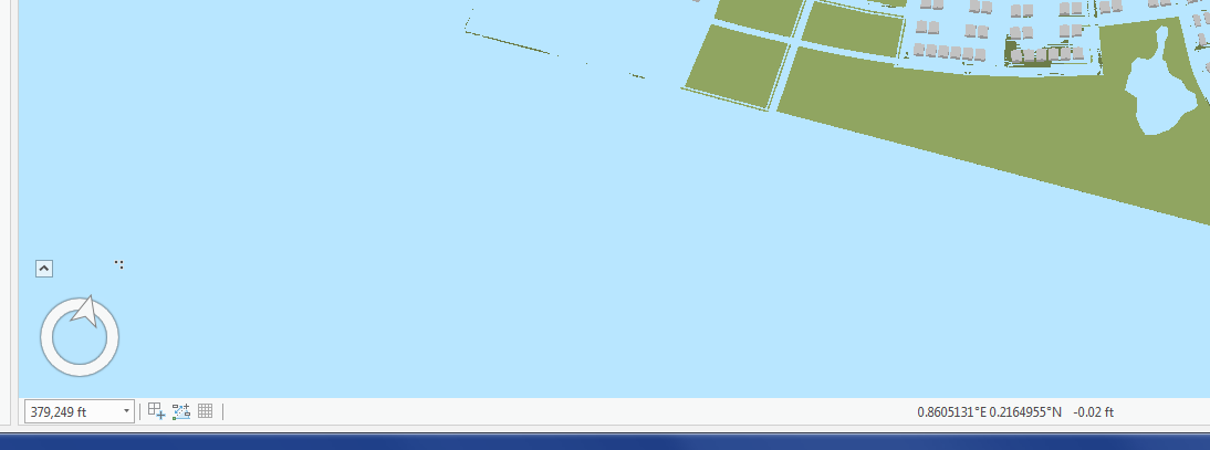
This is the coordinates after I imported the skp again and defined the projection as WGS84. Not much different than when I imported the file without defining the projection.
Is there a way to georeference the entire big feature? If so, I suspect that's what I should do before trying to explode all of the pieces into individual features.
- Mark as New
- Bookmark
- Subscribe
- Mute
- Subscribe to RSS Feed
- Permalink
Okay - so I think what's happening here is what I call 0,0 space meaning the data is located off the SW coast of Africa. Basically where the Prime Meridian and the Equator intersect. What I would do is bring the data into ArcMap into a dataframe with existing data for your AOI. Then open the Spatial Adjustment toolbar, create a series of displacement links and transform your data to a projected space. Once you've fine-tuned the transformation, run the Define Projection tool on the multipatch feature class and write out the file to whatever projected coordinate system your base data is in.
Details may be found here - http://desktop.arcgis.com/en/arcmap/latest/manage-data/editing-existing-features/about-spatial-adjus...
- Mark as New
- Bookmark
- Subscribe
- Mute
- Subscribe to RSS Feed
- Permalink
Well, I was halfway through the Spatial Adjustment toolbar directions when I received a geolocated skp file from the original creator. Yay! I am able to Import into a local scene in ArcPro and it lines up beautifully with the basemap.
However, I'm still having the problem of the whole model (roads, buildings, trees, people, vehicles, benches, etc) being one multipatch feature. I'd like to be able to turn layers on and off and symbolize differently, as GIS-folk usually do. Do you know of a way to make ArcPro "explode" all those pieces into individual features?
In the meantime, I have downloaded the free version of SketchUp and trying to force the model to my will. I've figured out how to explode or ungroup all of the features so that each house is one unique feature. I've also tested an export of a single layer from SketchUp (by turning all of the others off), which imports into ArcPro as a single feature, but at least all of the buildings are together and on their own layer.
So, I'm getting closer to solving my problem, but it's going to take a lot of time to deal with all of these layers and making sure the parts I need are all on the same layer and then exporting the individual layers from SketchUp and importing them into ArcPro for symbolization (color changing) and the ability to make a webapp.
Any additional suggestions would continue to be greatly appreciated!
- Mark as New
- Bookmark
- Subscribe
- Mute
- Subscribe to RSS Feed
- Permalink
Yay! Progress! So one suggestion is to use Select By Attributes on the single multipatch layer and select out roads, buildings, trees, people, etc. and export them to a new multipatch. Would that work or is the multipatch a single feature with a single attribute record? Please advise.