- Home
- :
- All Communities
- :
- User Groups
- :
- Coordinate Reference Systems
- :
- Questions
- :
- import csv geodata
- Subscribe to RSS Feed
- Mark Topic as New
- Mark Topic as Read
- Float this Topic for Current User
- Bookmark
- Subscribe
- Mute
- Printer Friendly Page
- Mark as New
- Bookmark
- Subscribe
- Mute
- Subscribe to RSS Feed
- Permalink
- Report Inappropriate Content
Hallo,
I have a file with locationas and i want to import that in arcgis for desktop 10.3.1.
the location are in this format:
-64.9734423 46.8886667 0, -64.975073 46.9527568 0,
What format is this? and what coordinate system do i need to use if i import this true create feature class true xy table.
Thank you
Solved! Go to Solution.
Accepted Solutions
- Mark as New
- Bookmark
- Subscribe
- Mute
- Subscribe to RSS Feed
- Permalink
- Report Inappropriate Content
Does the first row have any text (ColumnName) in it?
Looks like XYZ values in CSV file.
You could try Adding x,y coordinate data as a layer.
Spatial Reference preferably GCS_WGS1984.
Think Location
- Mark as New
- Bookmark
- Subscribe
- Mute
- Subscribe to RSS Feed
- Permalink
- Report Inappropriate Content
I seems I did not set the Y field earlier. Thank you for the info
- Mark as New
- Bookmark
- Subscribe
- Mute
- Subscribe to RSS Feed
- Permalink
- Report Inappropriate Content
Hi Peter - I would reformat your file first. Looks like the X Y Z coordinates are separated by a comma in a run on string. I would use Notepad ++ to replace the comma and space after it with a carriage return, then replace all the spaces with commas. Then you'd have rows of properly separated coordinates. The coordinates appear to be WGS 84.
In Notepad++
- Open the CSV file
- Hit Cntrl H to open replace
- In the Search mode click on the Extended radial button
- Find: , (comma and a space)
- Replace with: \r
- Then Find: <space>
- Replace with: ,
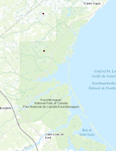
This worked for me. I had to open the CSV in Excel and save it to a new file so that ArcMap would recognize the new format. In ArcMap, add data, add XY data. Field 1 is X, Field 2 is Y, Field 3 is Z. The points drew in Nova Scotia near a Canadian National Park.
-Adam Z