- Home
- :
- All Communities
- :
- Products
- :
- ArcGIS Spatial Analyst
- :
- ArcGIS Spatial Analyst Questions
- :
- Averaging Clustered Point Data?
- Subscribe to RSS Feed
- Mark Topic as New
- Mark Topic as Read
- Float this Topic for Current User
- Bookmark
- Subscribe
- Mute
- Printer Friendly Page
Averaging Clustered Point Data?
- Mark as New
- Bookmark
- Subscribe
- Mute
- Subscribe to RSS Feed
- Permalink
Hey All;
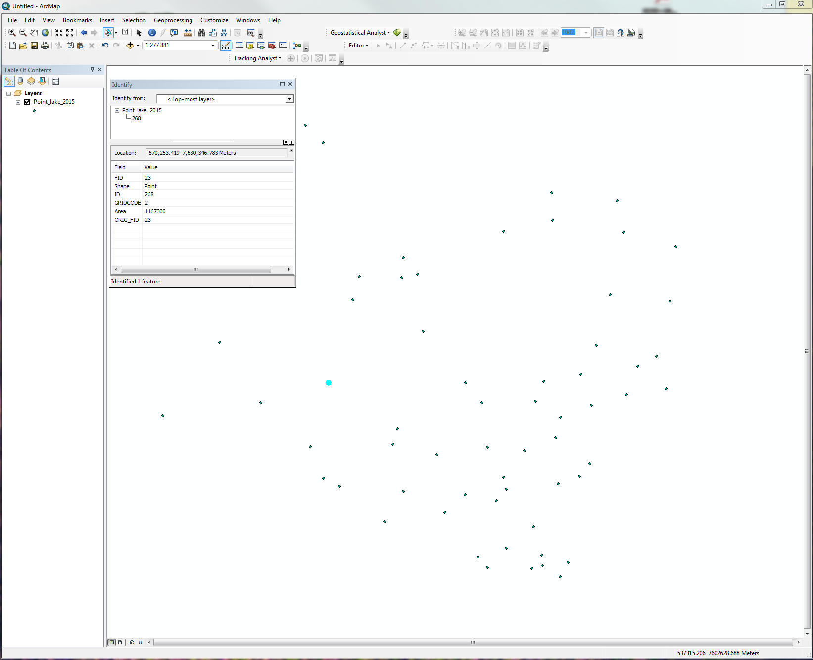
I am attempting to do various geo-spatial point data analysis and have gotten stuck. I have centroid point data of polygons, but the centroid point has no value to auto-correlate in a semi-variogram (Except for long/lat). Long/Lat doesnt help me much because a point density map doesn't tell me much in my situation. I really want to average the "grid_code" value for all of the points in the data ad attach that value to the centroid point data. I have attached multiple screen shots showing what I have. My questions are this:
1). Is there a way to average clustered point data and join the value to an existing centroid point data shapefile?
2). What other useful spatial analysis can be done on point data such as this?
Thank you for your time
- Michael -
Screenshot description:
Poly Data = Polygon shapefile data
Centroid Points = poly data convert into centroid points
All Point = polygon data converted into point data. (Polygons were converted to raster and then used as a mask to extract data from another map to retrieve values).
All Point2 = zoom of all point screen shot
All Point3 = Zoom of all point2 screen shot
- Mark as New
- Bookmark
- Subscribe
- Mute
- Subscribe to RSS Feed
- Permalink
Hi Michael
I think this can be achieved by using spatial joins. First you need to use
a spatial join between the polygon and "all points" shapefiles. This will
summarise the point values within each polygon. Next you can create a
spatial join between your centroid file and the polygon file to get the
summarised values from the all the points which would now be stored in the
polygons.
Not sure how familiar you are with spatial joins, so to start you
right-click on polygon data, go Joins and Relates/Join.. then select the
option to "Join data from another layer based on spatial location"
The rest is really self explanatory but this process should work.
Good luck.
Regards
Mervyn
- Mark as New
- Bookmark
- Subscribe
- Mute
- Subscribe to RSS Feed
- Permalink
Adding Dan Patterson to this thread, as I suspect he will have some ideas.
Chris Donohue, GISP
- Mark as New
- Bookmark
- Subscribe
- Mute
- Subscribe to RSS Feed
- Permalink
First... next time you do screen grabs, make the screen smaller, it is impossible to navigate around the image since it doesn't fit some screens.
Having said that, my interpretation is that... and this is where you have to correct me
- you have lakes
- you have the lake centroids
- you seem to have converted the lakes to a raster
- you have some form of data associated with the raster and you want to get some sort of clustering of said data out.
So based on my interpretation of your presentation of the situation and the data here are some comments.
- did the lakes have the probability of locating freely in space? or were they controlled by other phenomena and/or surficial properties? If the latter, then you have other areas to investigate
- what is being looked in terms of clustering? this is not clear, some attribute found in the lakes? the lakes themselves? their size, shape orientation? The map layer underneath? what was it? why were the lakes used as masks? you are implying that the property of interest is either inclusive to, or exclusive to lakes ... rationale is not clear
- You seem to have chosen a particular statistical route and potentially a suite of tests. What is the justification for this? a hunch? a suggestion? prior literature?
I am not being critical, but in order for anyone to provide meaningful help your intent, expression of fact and history and the type and nature of your data. Just about anyone can provide you with a means to accomplish your clustering analysis. They would be doing you a disservice without appreciating your research problem.
Back to you Michael