- Home
- :
- All Communities
- :
- User Groups
- :
- ArcGIS Analyse
- :
- Questions
- :
- Creatinng table with lat*long corresponding to the...
- Subscribe to RSS Feed
- Mark Topic as New
- Mark Topic as Read
- Float this Topic for Current User
- Bookmark
- Subscribe
- Mute
- Printer Friendly Page
Creatinng table with lat*long corresponding to the max value of continues variable
- Mark as New
- Bookmark
- Subscribe
- Mute
- Subscribe to RSS Feed
- Permalink
Hi all
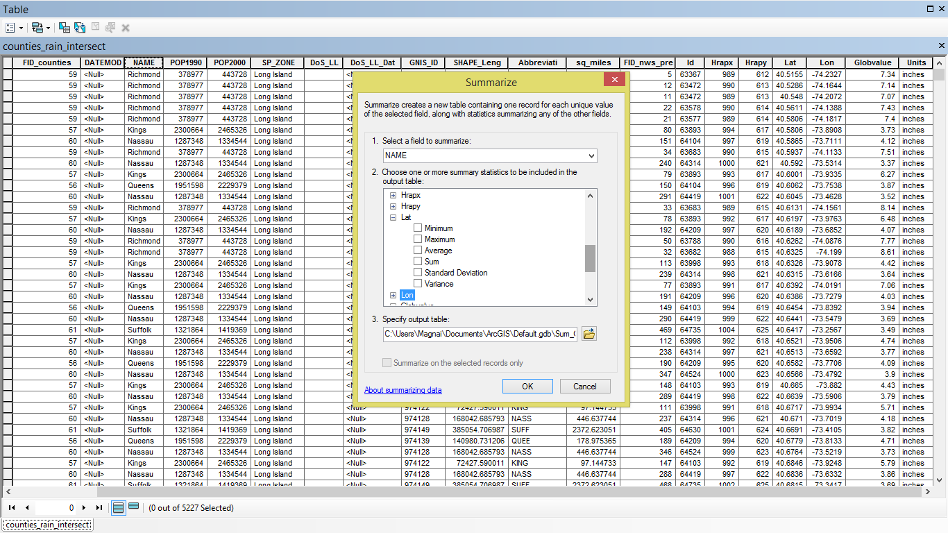
Do you know how to import lat and long corresponding to the max value of the variable of my interest that I selected in "Summarize" function? Summarize function creates nice max rainfall values by each counties but no geographic coordinates. I am interested in mapping the maximum rainfall values only.
Thanks bunch
- Mark as New
- Bookmark
- Subscribe
- Mute
- Subscribe to RSS Feed
- Permalink
Are the longitude/latitude values in the same table? If they are point data, just use the Calculate Geometry option from within the table to get these values and use them as another inclusion in the Summarize procedure
- Mark as New
- Bookmark
- Subscribe
- Mute
- Subscribe to RSS Feed
- Permalink
Yes, log/lat values are in the same table. This is NOAA rainfall daily observed values at certain locations as provided with lat*long coordinates. I am only interested in max rainfall inches a given day thus used summarize function to create a table with the maximum rainfall value by each county. However, when I select lat/long in the step 2 of summarize function, for instance, I am prompted to select min, max, average, sum. std or variance from dropdown menu. No option to keep lay/long as they are.
Is there something I am missing?
- Mark as New
- Bookmark
- Subscribe
- Mute
- Subscribe to RSS Feed
- Permalink
experiment...try min and then max or both...if they yield the same results then there is no difference... report back as to what you found
- Mark as New
- Bookmark
- Subscribe
- Mute
- Subscribe to RSS Feed
- Permalink
I figured out. I joined summarize output table with max rainfall by each counties to Census counties. Now I have my max rainfall values as attributed to polygons of counties in census. 