- Home
- :
- All Communities
- :
- User Groups
- :
- Web AppBuilder Custom Widgets
- :
- Questions
- :
- eDraw widget
- Subscribe to RSS Feed
- Mark Topic as New
- Mark Topic as Read
- Float this Topic for Current User
- Bookmark
- Subscribe
- Mute
- Printer Friendly Page
eDraw widget
- Mark as New
- Bookmark
- Subscribe
- Mute
- Subscribe to RSS Feed
- Permalink
Ehanced draw widget for WebApp Builder for Arcgis
UPDATE 2018/05/09 (new Release v2.8.1) :
- refactoring
- use esri/geometry/projection (available since esri js api 3.24) instead of proj4js (external libs)
- systematic use of geometry engine (no more mercator utils, geometry server...)
- for polyline, the user can now add an arrow (available since esri js api 3.23)
- live measure while drawing
- WARNING : this release needs Esri API >= 3.24
(Direct zip link : https://github.com/magis-nc/esri-webappbuilder-widget-eDraw/releases/download/v2.8.1/eDraw.zip )
Demo : https://apps.magis.nc/demo/eDraw/
Github :
https://github.com/magis-nc/esri-webappbuilder-widget-eDraw
Wigdet's Features (improvments of standard Draw widget) :
- add name and description fields on drawings
- enable infowindow on drawings (selection)
- on text drawing, no insert if no name.
- on modification : enable geometry update (with snapping if wanted : CTRL) and preview symbology changes on the fly
- list
- add list of all drawings
- actions on each drawing : modify / delete / [up / down] / zoom
- all drawings : zoom, copy, delete, export
- on drawing infowindow -> select drawing in list
- on zoom on a drawing -> select drawing on map (and show infoWindow)
- re-order graphics with drag&drop
- import/export : allow users to export or import drawings (json format)
- import can be done with file drag&drop in import popup
- localStorage
- dynamic saving on each drawing add/delete/update
- on widget load : load drawings saved in local Storage
- draws plus (initially from Larry Stout https://geonet.esri.com/people/Larry_Stout)
- preview under mouse when adding text or point
- for text, add font choice, font angle, bold, italic, placement and underline options.
- add arrow menu for polyline
- checkbox to hide drawing's layer (and therefore widget UI)
- add of Nautical unit
- measure's for points/polylines/polygons with automatic update on element's update (or delete). Measure's can be indidualy disabled/enabled on any graphic.
- "On the fly" measure when drawing
- defaults symbols can be specified in config's file
- use of builtin projection engine (available since esri js api 3.24) instead of proj4js library
This message was updated by Jeremie Cornet (New Release)
GIS enthousiast, python & javascript lover
Solved! Go to Solution.
- Mark as New
- Bookmark
- Subscribe
- Mute
- Subscribe to RSS Feed
- Permalink
Thank you. Just checking on that as I think our end-users will really like this widget.
- Mark as New
- Bookmark
- Subscribe
- Mute
- Subscribe to RSS Feed
- Permalink
Hi Jeremie Cornet,
Thanks for the excellent Widget.
This is very useful and while using we have encountered a situation in using the "Show Measurement" feature.
Here is the steps to reproduce that issue.
- Click on Draw widget and turn on the Show Measurement checkbox
- Select the drawing mode as EXTENT
- Zoom in an area and draw a rectangle on the map
- Click on Update this drawing icon from the Draw window
- Zoom out and change the size of the mark up drawing
- Observe that the Area value of the drawing does update
Can you please lnto this and let us know the fix !
- Mark as New
- Bookmark
- Subscribe
- Mute
- Subscribe to RSS Feed
- Permalink
The measure part of the widget isn't modified (In fact, there is a little modification which add the measure's text in eDraw layer instead og map graphics layer).
So this is not an issue.
I may refactor the measure part in the future (and make it dynamic) but it's not my priority for now.
GIS enthousiast, python & javascript lover
- Mark as New
- Bookmark
- Subscribe
- Mute
- Subscribe to RSS Feed
- Permalink
Hi Jeremie,
I am using this widget and wanted to let you know that iPad (Safari) users can't change the colors on any drawings.
Maria
- Mark as New
- Bookmark
- Subscribe
- Mute
- Subscribe to RSS Feed
- Permalink
I cannot reproduce the error (i havn't iPad).
Can you change the colors with the standard draw widget ?
GIS enthousiast, python & javascript lover
- Mark as New
- Bookmark
- Subscribe
- Mute
- Subscribe to RSS Feed
- Permalink
New release (1.2.2). Please see first post.
Zachary Schmitt You can now export checked drawings.
GIS enthousiast, python & javascript lover
- Mark as New
- Bookmark
- Subscribe
- Mute
- Subscribe to RSS Feed
- Permalink
I cannot get the widget to load? I add it to my clientstemap folder but when in WAB and I try to add widget I get nothing. I tried IE 10 and Chrome, and version 1.21 as well as 1.22. I get a blank draw icon and a blank message box with just the option to click ok.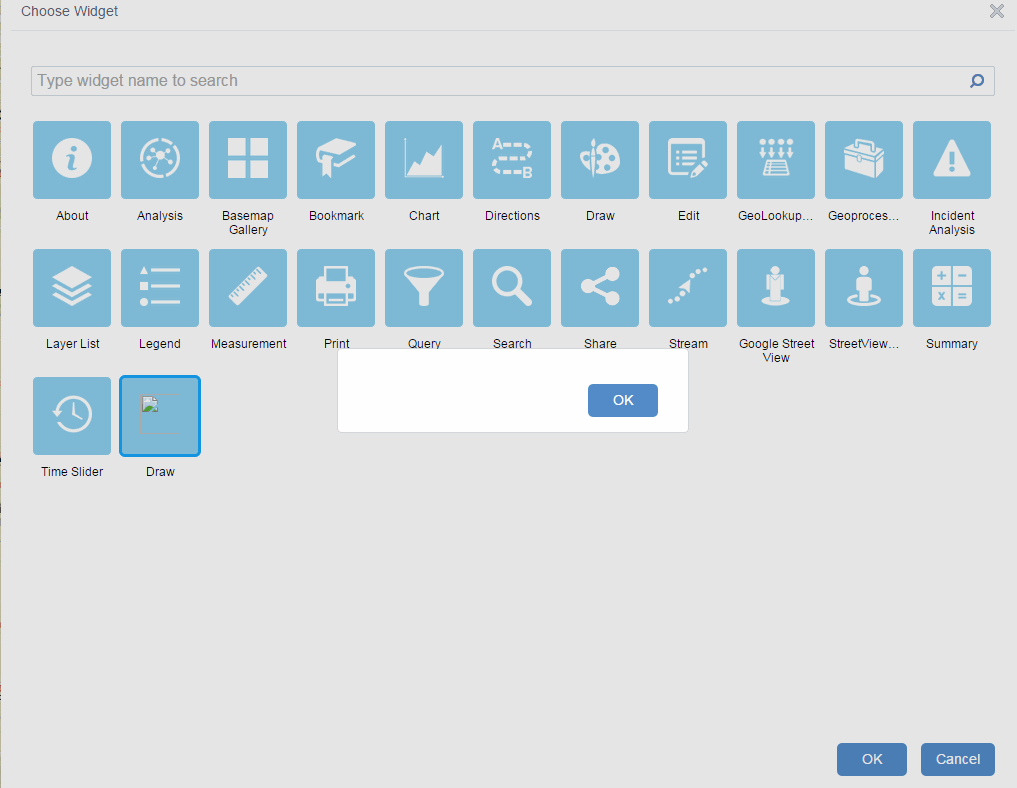
- Mark as New
- Bookmark
- Subscribe
- Mute
- Subscribe to RSS Feed
- Permalink
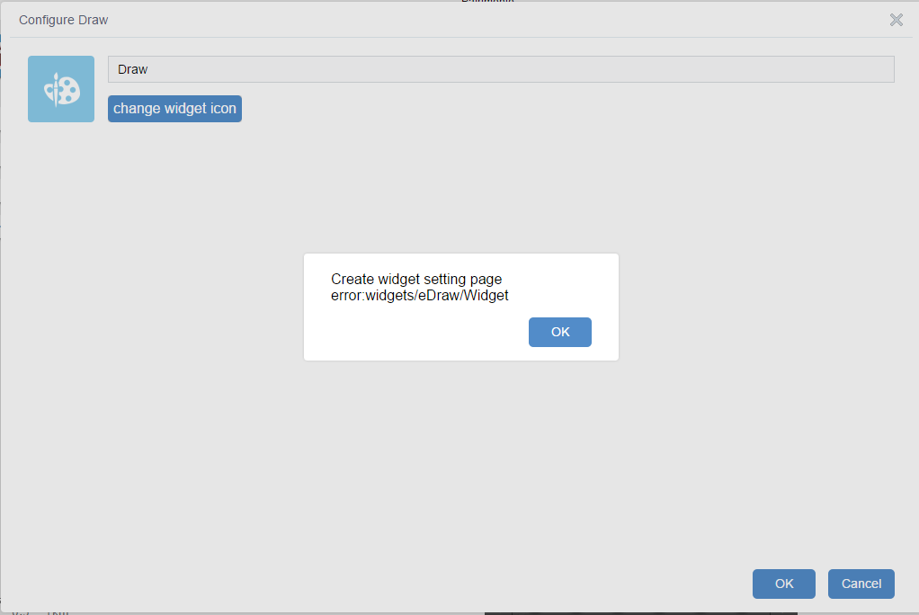
Hi Jeremi i got this error when add edraw to my WAB 1.2
- Mark as New
- Bookmark
- Subscribe
- Mute
- Subscribe to RSS Feed
- Permalink
George Katsambas Massimo Bisogno
I can't reproduce the bug.
Could you tell me what says the javascript console ?
GIS enthousiast, python & javascript lover
- Mark as New
- Bookmark
- Subscribe
- Mute
- Subscribe to RSS Feed
- Permalink
Hello Jeremi,
I use WAB 1.2, and the error occurs only when you add the widget to the webapp for the first time, when you have to configure. I did OK and I open again the configuration form and now seems to be working properly. I try again with a new webapp and I'll let you know. Thank you.