- Home
- :
- All Communities
- :
- Industries
- :
- Water Resources
- :
- Water Resources Questions
- :
- Reconditioning problem
- Subscribe to RSS Feed
- Mark Topic as New
- Mark Topic as Read
- Float this Topic for Current User
- Bookmark
- Subscribe
- Mute
- Printer Friendly Page
- Mark as New
- Bookmark
- Subscribe
- Mute
- Subscribe to RSS Feed
- Permalink
Hi,
Im relatively new to using HEC-GeoHMS. I have used ArcGIS on previous projects but am now intending to use HEC-HMS to produce a hydrological model so am planning on doing my pre-processing on HEC-~GEOHMS in ArcMap.
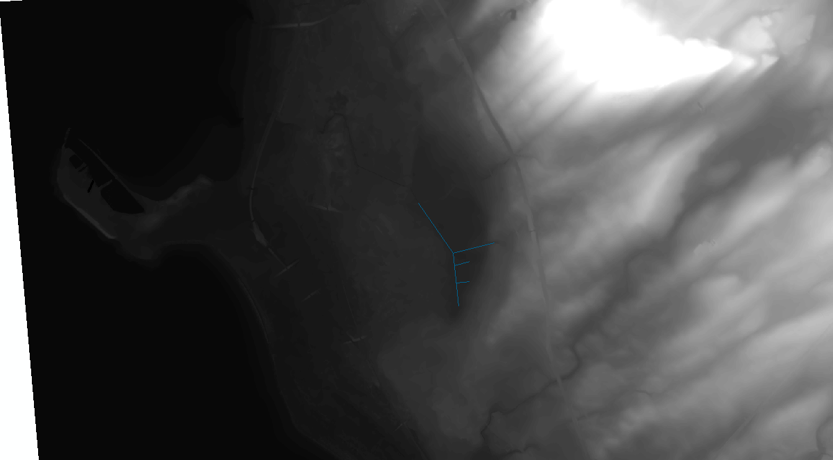
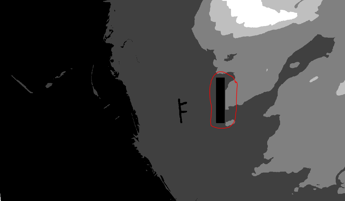
I have read into the process and feel I have a basic understanding on how to carry it out. However when reconditioning and filling sinks on my DEM I am encountering a problem where a large black region is being identified (See attached photo with red circle) when in my original DEM this is not a low point or resevoir etc. Furthermore the entire stream network shape is not appearing on this reconditioned DEM. I am struggling to resolve this problem area so was wondering if someone could provide any advice to a new user?
- Mark as New
- Bookmark
- Subscribe
- Mute
- Subscribe to RSS Feed
- Permalink
I am not sure about the large black region. Would need to check the data to see what is going on. What is the updated value in there?
As for the streams, did you use vectors or rasters as input? If vectors, was there a selected set?
Christine Dartiguenave
Esri Water Resources Team