- Home
- :
- All Communities
- :
- Industries
- :
- Water Resources
- :
- Water Resources Questions
- :
- Re: Hydro Flattened DEM
- Subscribe to RSS Feed
- Mark Topic as New
- Mark Topic as Read
- Float this Topic for Current User
- Bookmark
- Subscribe
- Mute
- Printer Friendly Page
Hydro Flattened DEM
- Mark as New
- Bookmark
- Subscribe
- Mute
- Subscribe to RSS Feed
- Permalink
Hello Everyone,
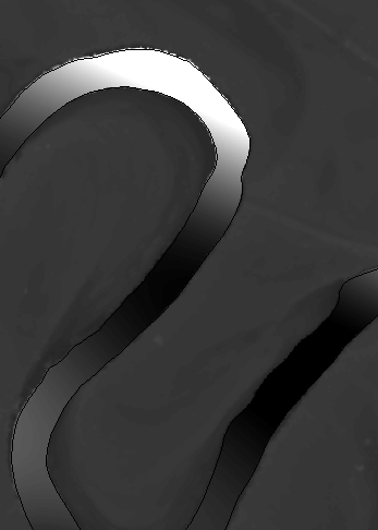
I am trying to create Hydro Flattened DEM by adding breaklines which has Z value as a surface constraint to LAS data set. But the elevation values in the DEM inside the river seems to higher than the surroundings. Please let me know the steps for creating Hydro flattened DEM. I have attached output which i got.
I followed these steps:
1. Obtained river from NHD and used add surface information to add Z values from LAS points to the NHD dataset.
2. Then used add files to LAS dataset and added the NHD to LAS dataset.
Filtered LAS dataset to ground only and used LAS dataset to raster to create DEM.
- Mark as New
- Bookmark
- Subscribe
- Mute
- Subscribe to RSS Feed
- Permalink
I'll usually take a raw DEM produced from the lidar, fill the pits and then burn streams into that. Here's a link to a tutorial by David Tarboton. That's pretty much how I do it. http://www.ce.utexas.edu/prof/maidment/giswr2011/Ex4/Ex42011.pdf