- Home
- :
- All Communities
- :
- Industries
- :
- Telecommunications
- :
- Telecommunications Blog
- :
- Esri GeoConX 2019 attracts largest community of Ut...
Esri GeoConX 2019 attracts largest community of Utility & Telecommunications GIS professionals
- Subscribe to RSS Feed
- Mark as New
- Mark as Read
- Bookmark
- Subscribe
- Printer Friendly Page

This year’s GeoConX meetup held at the Cobb Galleria Centre in Atlanta, Georgia, saw the largest number of utility and telecom GIS professionals ever gathered to share their work, collaborate on new projects, and discuss new ways of leveraging GIS and location intelligence to support the telecom business. The event kicked off with a half-day opening plenary session featuring geospatial thought leadership from Jack Dangermond, CEO of Esri, along with ArcGIS user presentations and ArcGIS technology updates.
Highlights from the plenary included a presentation from the University of Kentucky’s Eric Carroll on leveraging ArcGIS and its field capabilities to map UK's telecommunications backbone, creating a GIS fiber system of record for the entire campus. Adam Bakiera and Courtney Pesak from Guadalupe Valley Electric 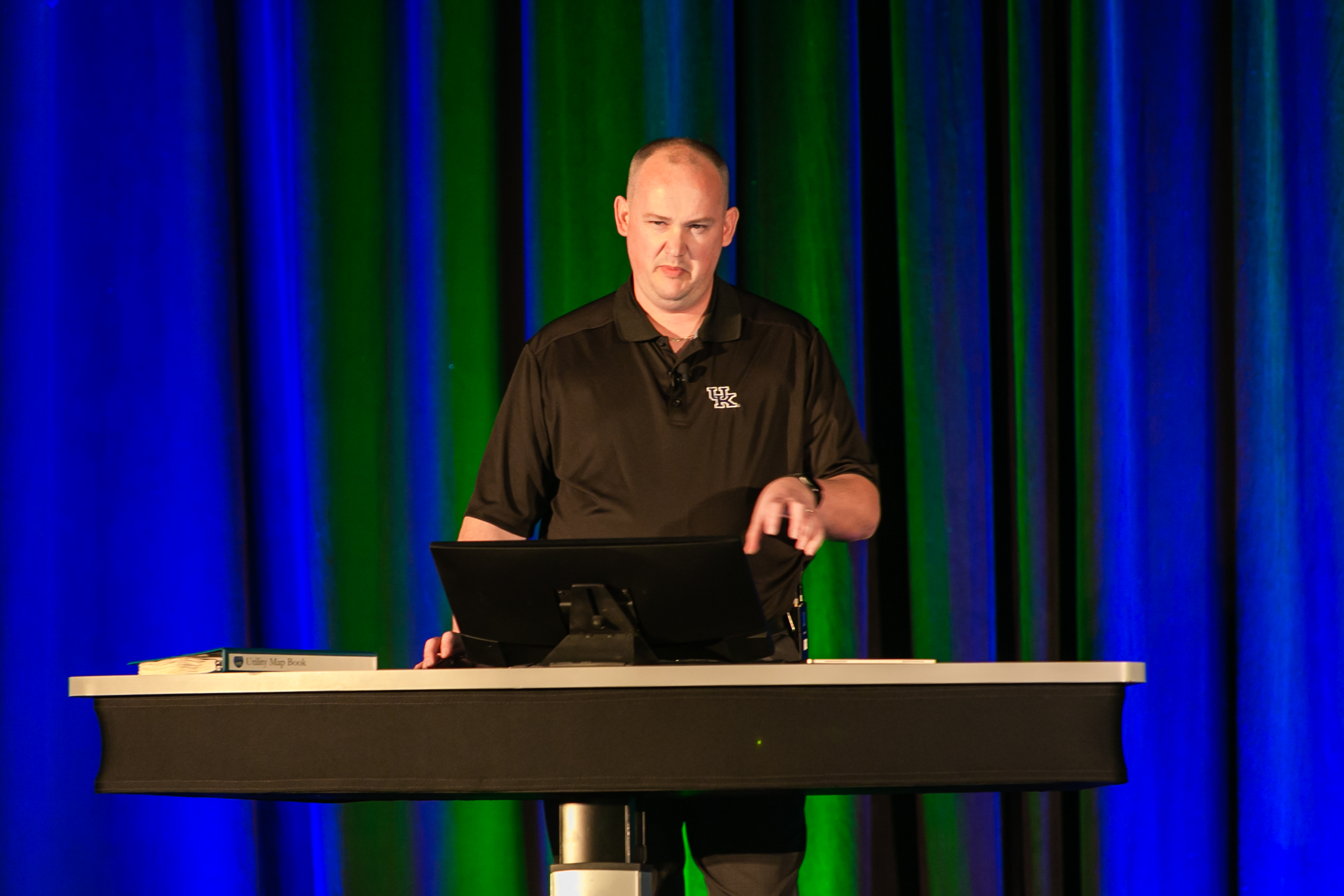 Cooperative (GVEC) shared during the plenary how they’ve created a simple, configurable, cohesive web mapping application, providing customers with the information they need about their broadband service, as well as capturing their interest, helping the cooperative better understand the customer’s needs to grow and expand their services to the community.
The opening session really set the energy for the rest of the week as there was a lot of buzz around how GIS supports fiber design and management, 5G and fixed wireless planning, and how to support the telecom business with maps and geospatial apps. Here are a few of our favorite highlights during the week.
Telecom Peer Connects
 Connecting with peers is what GeoConX is all about. This year’s telecom peer connects session featured a panel with Gary Barden of American Tower, Derek Rieckmann of Midco, and Edward Gause of HTC. Lots of interesting Q&A and discussion around geospatial data quality and cleanup, fiber planning, service qualification, and enabling other parts of the business with maps and geospatial apps. Lots of common GIS related problems across tower providers, cable MSOs, and traditional carriers.
User Paper Sessions
Throughout the week, users of Esri’s ArcGIS shared how they are using GIS to help digitally transform their organizations to be the telecom of the future.
- Fiber Transport Modernization with GIS Insights - Trina Ivey, Senior Tech, Project/Program Manager for AT&T, shared how GIS solutions are being widely accepted in the telecom sector with the primary benefit being real-time accessibility and sharing of current information. Trina discussed how it’s important to consider the need to automate multiple workflows and different users (engineers, consultants, inspectors, managers, executives, and 3rd parties) who all need different tools to effectively perform their jobs. When all factors have been considered during design, the resulting GIS solution will drastically improve efficiencies for all users.
- The IN of the Telecommunications Fiber Optic Infrastructure - Eric Carroll, Team Lead Utilities & Network GIS at University of Kentucky, showed how interior fiber optic network mapping on a geospatial platform is the way of the future. The ability to trace individual circuits, represent them in a geometric network, thus enabling analytics, maintenance scheduling and troubleshooting are powerful in their own right. Eric discussed how the University of Kentucky together with Geograph Technologies LLC, developed a method for collecting as-built information in a GIS. The solution presented combined ArcGIS for Desktop, ArcGIS for Server, the CrescentLink extension for ArcGIS, and Survey123 to showcase how data could be collected, processed and represented in a format that is logical and easy-to-use.
- Operational Transformation with GIS - Derek Rieckmann, Director of GIS at Midco, showcased how geospatial technology continues to expand its influence on the way that MSOs operate. Through digital transformation of legacy mapping to a more spatially intelligent option, new methodologies have been implemented across the enterprise around activities like plant maintenance, extensions, and troubleshooting. Derek highlighted that GIS is no longer just a system of record, but also becoming one of engagement and insight. Rather than simply reading data, it is the authoritative source for many datasets. Derek discussed the path Midco took from using GIS to record network information with very specific use cases, to an enterprise level platform with over 80% of employees directly using web delivered services.
- GIS at American Tower: The Evolution Toward an Enterprise GIS - Gary Barden, GIS Program Manager at American Tower discussed how their GIS team is ever adapting to the changing wireless market, and how their team evolved over the years to meet the needs of customers, both internal and external.
Tech Updates & Hands-on Learning Lab

Numerous new updates to Esri technology were shown at GeoConX and following the positive feedback of the hands-on learning lab last year, the lab was brought back this year and even more Esri products were available for attendees to try out and play with, and training courses were available for attendees to work through while at the event.
New Tech Highlights:
- Machine Learning Tools – An update to the machine learning tools in ArcGIS was shared in a session that focused on spatial tools for classification, clustering, and prediction. Some of tools shown were Random Trees, Density-based Clustering, and Geographically Weighted Regression. Also, show was the integration of ArcGIS with external machine learning frameworks like TensorFlow and Scikit Learn. Image detection for detecting features in imagery, such as poles and sidewalks, gained a lot of interest from fiber planners.
- Network Planning – During the plenary session new updates to ArcGIS Pro showcased dynamic map binning of call record and tower locations, and planning tools for fiber buildouts. The tools included optimized fiber route planning with ArcGIS Network Analyst and network tracing within the ArcGIS Utility Network Management. Re-watch the demonstration below.
- Field Apps – The demonstrated Esri field apps showed how you can coordinate field activities using Workforce, how to efficiently get to the location of work using Navigator, how to gain spatial awareness and mark up maps using Explorer, how to accurately locate, capture and inspect assets using Collector, Survey123, and QuickCapture, and how you can improve accountability and enhance situational awareness using Tracker and Operations Dashboard.
- Sensors, Big Data, and Analytics – Highlighted in this session was the ability to track field personnel as sensors, consuming their location with GeoEvent Server for visualization, geofencing, and storage for improved field operations and increased safety. GeoAnalytics Server was highlighted to help with the analysis of large collections of sensor data. Finally, a new Esri product in development was introduced: ArcGIS Analytics for IoT. This is a SaaS product that combines capabilities of GeoEvent Server and GeoAnalytics Server into a scalable, cloud-based product.

- Business Analytics – New updates to ArcGIS Business Analyst were shown in a session that also highlighted greenfield opportunity analysis for broadband expansion and how to leverage Esri Demographics for upsell analysis. A crowd favorite was the improved dynamic infographics that can be configured and generated from apps across ArcGIS.
GeoConX Expo

Throughout the week, attendees had the opportunity to meet with Esri teams, including solutions engineers and product managers in the GeoConX Expo. 5G and fixed wireless planning seemed to be a top of everyone’s mind and new 3D analysis capabilities were shown at the Esri booth to assist in wireless planning. Automating fiber design and field inspection workflows were also topics being discussed across the expo floor.

During the GeoConX Expo, Esri Partners showcased their latest solutions on top of ArcGIS for fiber, HFC, and copper network management, workflow automation, field operations, data migration, and more.
Another Fantastic GeoConX Event
This year’s GeoConX was another great meetup for GIS professionals in telecommunications, and we look forward to keeping the conversation going throughout the year, and seeing everyone at GeoConx 2020 in Denver, Colorado. Be sure to stay engaged with the community on GeoNet, and register for the last telecommunications webinar of 2019, Resource Optimization on December 11th.
You must be a registered user to add a comment. If you've already registered, sign in. Otherwise, register and sign in.