- Home
- :
- All Communities
- :
- User Groups
- :
- T3G
- :
- Questions
- :
- Using GIS as Ladders to Environmental Learning.. W...
- Subscribe to RSS Feed
- Mark Topic as New
- Mark Topic as Read
- Float this Topic for Current User
- Bookmark
- Subscribe
- Mute
- Printer Friendly Page
Using GIS as Ladders to Environmental Learning.. What a Joy!
- Mark as New
- Bookmark
- Subscribe
- Mute
- Subscribe to RSS Feed
- Permalink
I am Bonnie Bracey Sutton, a retired educator working in the community space of the Southwest Neighborhood Assembly in SW Washington , DC. I recently have completed NatGeo's online course using a bunch of field trip experiences I had with students to the Baltimore Aquarium, the Smithsonian Environmental Research Center | Understanding Ecosystems for a Sustainable Future , and using this lesson Watersheds 101 | Ecosystems on the Edge and a hands on lesson Group Programs | Smithsonian Environmental Research Center , Shoreline Connection with students who had no experience in environmental science.

It was the fight of my life to get this done. No one was interested in science or the environment in leadership
in the council housing, but SW BID, did an activity at the Duck Pond that was the beginning of the study of ponds, rivers , and estuaries that we followed at the pond, then on the Potomac and then on the river at SErc.
We loved this video. The Science of Where
https://images.app.goo.gl/ACLswhwnsZuc6vno7
Most of the children did not know much about water, watersheds, estuaries or GIS, so we began to study the Chesapeake Bay and how we are a part of the watershed.The National Botanical Ga

We built a town and studied watershed runoff.. and saw some GIS imagining after storms.at the National Botanical Gardens.
We studied using lessons from MWEES.
https://doee.dc.gov/page/meaningful-watershed-educational-experiences-mwees
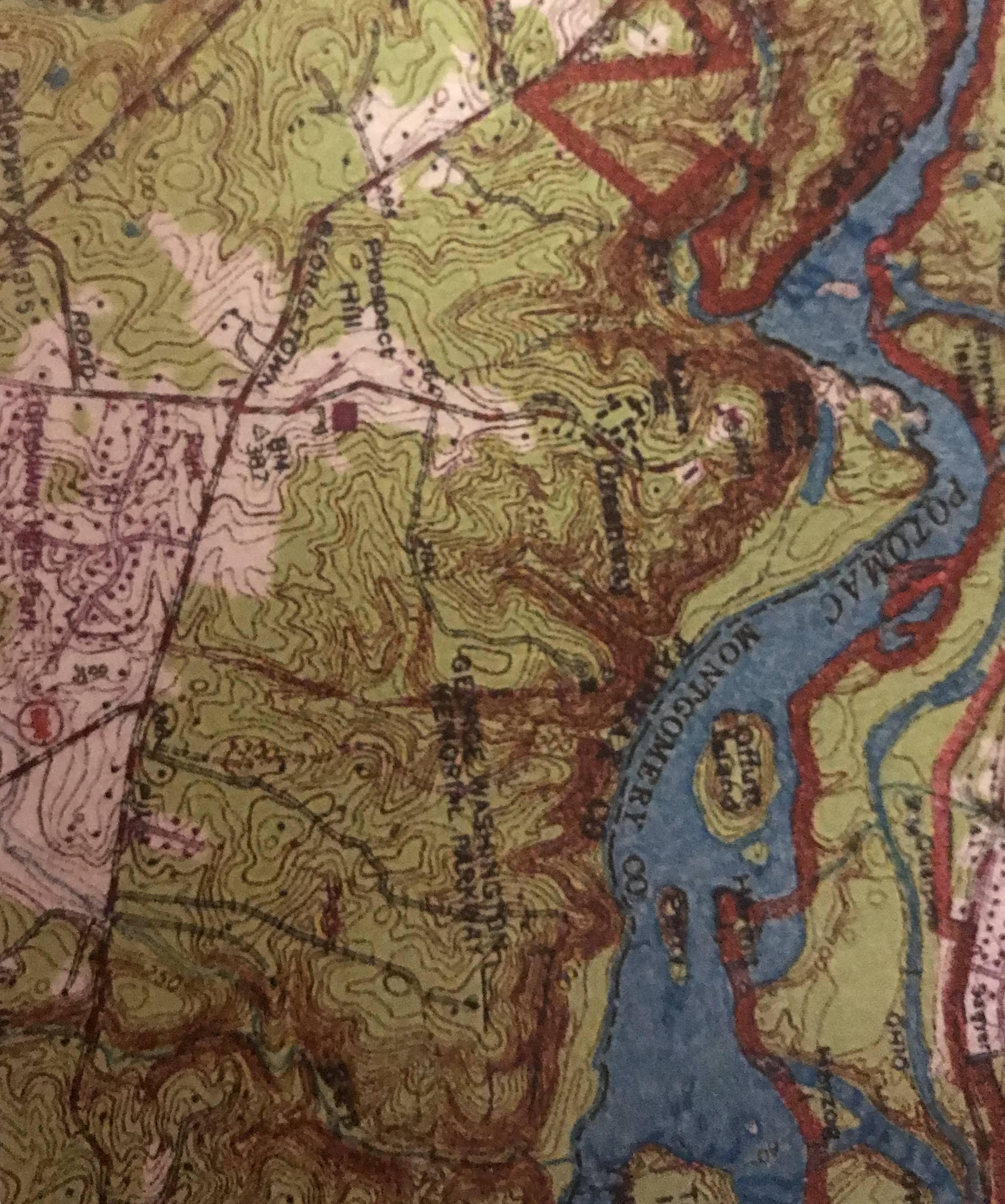
We used maps and resources on the internet and GIS location to explore, explain and examine the Chesapeake Bay
https://www.nationalgeographic.org/topics/resource-library-watershed/?q=&page=1&per_page=25
https://www.nationalgeographic.org/hires/sea-level-climate-change-and-chesapeake-bay/

I had no funds and no one was interested so I found a couple of resources in a grant from the youth activities task force part of SWNA.( Southwest Neighborhood assembly)

Our final field trip was to the Baltimore Aquarium. Such joy they had
. We used GIS, Geography, History and we had an Eat a Crab Lab.

- Mark as New
- Bookmark
- Subscribe
- Mute
- Subscribe to RSS Feed
- Permalink
Rock on Bonnie! Never give up. The kids can "get it" even if adults won't let them ... sneak it to 'em! After-school clubs, posters, teaching by osmosis ... they can get the picture. Slower, perhaps, but less bound up.