Turn on suggestions
Auto-suggest helps you quickly narrow down your search results by suggesting possible matches as you type.
Cancel
- Home
- :
- All Communities
- :
- Products
- :
- Spatial Statistics
- :
- Spatial Statistics Questions
- :
- Geothermal Potential Map
Options
- Subscribe to RSS Feed
- Mark Topic as New
- Mark Topic as Read
- Float this Topic for Current User
- Bookmark
- Subscribe
- Mute
- Printer Friendly Page
Geothermal Potential Map
Subscribe
2430
0
04-01-2014 08:57 AM
04-01-2014
08:57 AM
- Mark as New
- Bookmark
- Subscribe
- Mute
- Subscribe to RSS Feed
- Permalink
Hi all,
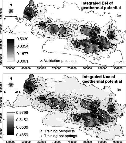
I have a small geothermal potential project, which studies the relationship between geothermal points and volcanic vent occurrences(Both are point shapefiles). The attached file from a paper shows the result of interest, which provides the raster image to show the spatial relationship with these two datasets. I want to make a spring occurrence likelihood around the volcanic vents. Please let me know if there is any tool could accomplish this task.
Thanks,
Hank
0 Replies