- Home
- :
- All Communities
- :
- Developers
- :
- Native Maps SDKs
- :
- Qt Maps SDK Questions
- :
- Re: Can't set location of Callout
- Subscribe to RSS Feed
- Mark Topic as New
- Mark Topic as Read
- Float this Topic for Current User
- Bookmark
- Subscribe
- Mute
- Printer Friendly Page
Can't set location of Callout
- Mark as New
- Bookmark
- Subscribe
- Mute
- Subscribe to RSS Feed
- Permalink
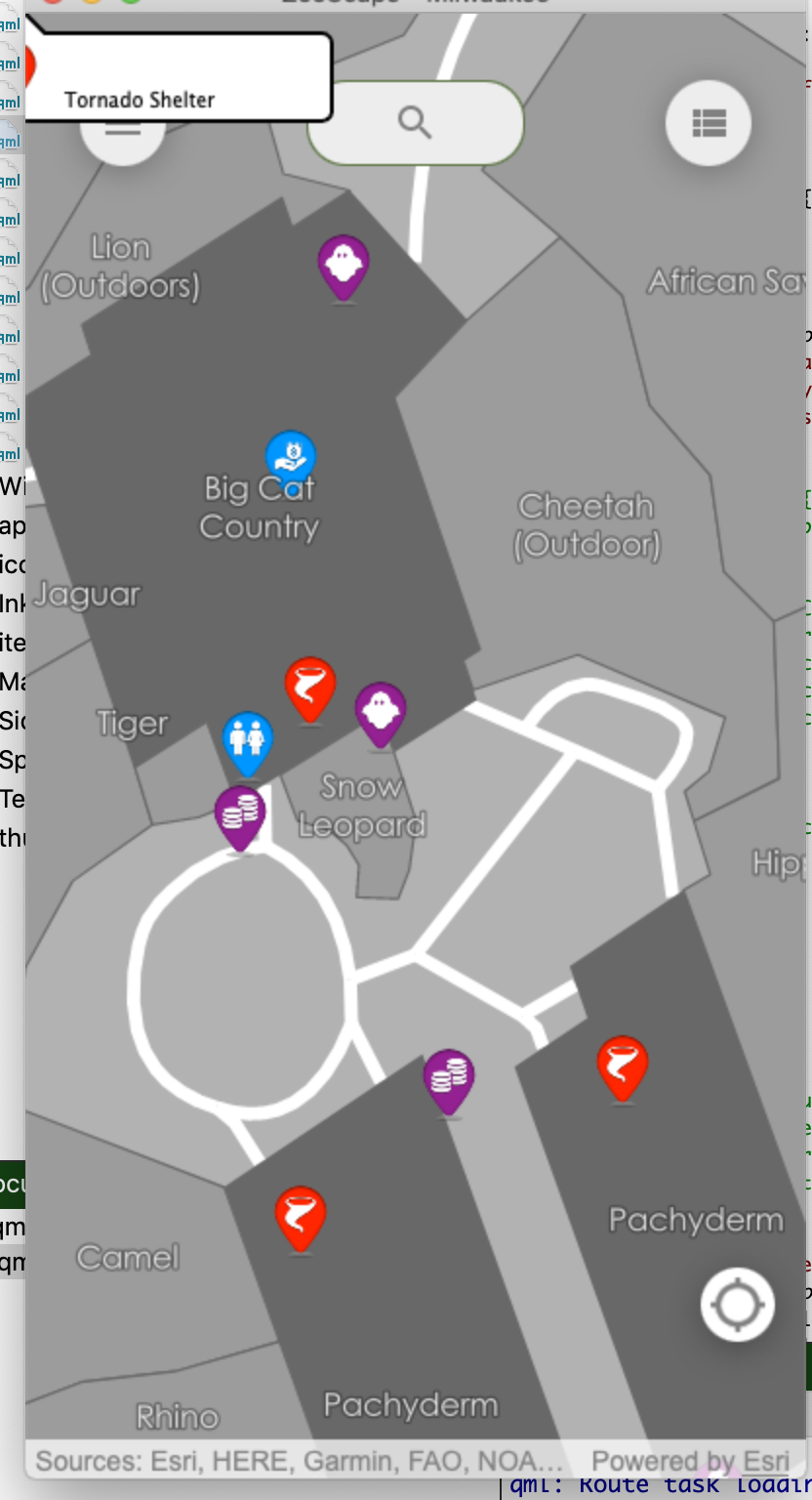
I've followed a couple Callout samples when creating my own but I can't get the location of the callout to display where I clicked or the xy coordinate of the feature I am selecting. Every time the callout displays in the upper left of the screen like below:
Callouts appear to be pretty straightforward so I'm not sure why I can't get mine to work. (I am using a mmpk)
property Point clickedPointcalloutData {}Callout {id: calloutcalloutData: parent.calloutDataaccessoryButtonHidden: trueleaderPosition: leaderPositionEnum.Automatic}onMouseClicked: {clickedPoint = mouse.mapPoint;var tolerance = 5,returnPopupsOnly = false,maximumResults = 1;mapView.identifyLayerWithMaxResults(featureLayer, mouse.x, mouse.y, tolerance, returnPopupsOnly, maximumResults);}onIdentifyLayerStatusChanged: {if (identifyLayerStatus === Enums.TaskStatusCompleted) {featureLayer.clearSelection();const elem = identifyLayerResult.geoElements[0];const count = identifyLayerResult.geoElements.length;featureLayer.selectFeatures(elem);var featureName = elem.attributes.attributeValue("Name");var xcoord = elem.attributes.attributeValue("POINT_X");var ycoord = elem.attributes.attributeValue("POINT_Y");mapView.calloutData.geoElement = elem;mapView.calloutData.detail = featureName;mapView.calloutData.location = clickedPoint;callout.showCallout();}}
- Mark as New
- Bookmark
- Subscribe
- Mute
- Subscribe to RSS Feed
- Permalink
Hi Tim Confare,
Thanks for reaching out to the team. In our example code, the "parent" is the MapView object. I can't tell from your code if that's the case, but can you double check that?
This might work:
calloutData: mapView.calloutData- Mark as New
- Bookmark
- Subscribe
- Mute
- Subscribe to RSS Feed
- Permalink
Hi James,
Yes, the parent is the MapView object in my code. I did change that line to mapView.calloutData but it does the same thing.
Any other ideas?
Thanks!
- Mark as New
- Bookmark
- Subscribe
- Mute
- Subscribe to RSS Feed
- Permalink
Do you get any errors in your console about undefined references or anything like that? I took your code and added some layers and was able to get it to work as expected:
import QtQuick 2.6
import QtQuick.Controls 2.2
import Esri.ArcGISRuntime 100.9
import Esri.ArcGISRuntime.Toolkit.Controls 100.9
ApplicationWindow {
id: appWindow
width: 800
height: 600
title: "Test"
property Point clickedPoint
// add a mapView component
MapView {
id: mapView
anchors.fill: parent
// set focus to enable keyboard navigation
focus: true
// add a map to the mapview
Map {
// add the BasemapTopographic basemap to the map
BasemapTopographic {}
FeatureLayer {
id: featureLayer
ServiceFeatureTable {
url: "https://sampleserver6.arcgisonline.com/arcgis/rest/services/DamageAssessment/FeatureServer/0"
}
}
}
calloutData {
}
Callout {
id: callout
calloutData: parent.calloutData
accessoryButtonHidden: true
leaderPosition: leaderPositionEnum.Automatic
}
onMouseClicked: {
clickedPoint = mouse.mapPoint;
var tolerance = 5,
returnPopupsOnly = false,
maximumResults = 1;
mapView.identifyLayerWithMaxResults(featureLayer, mouse.x, mouse.y, tolerance, returnPopupsOnly, maximumResults);
}
onIdentifyLayerStatusChanged: {
if (identifyLayerStatus === Enums.TaskStatusCompleted) {
featureLayer.clearSelection();
const elem = identifyLayerResult.geoElements[0];
const count = identifyLayerResult.geoElements.length;
featureLayer.selectFeatures(elem);
// var featureName = elem.attributes.attributeValue("Name");
// var xcoord = elem.attributes.attributeValue("POINT_X");
// var ycoord = elem.attributes.attributeValue("POINT_Y");
mapView.calloutData.geoElement = elem;
// mapView.calloutData.detail = featureName;
mapView.calloutData.location = clickedPoint;
callout.showCallout();
}
}
}
}
- Mark as New
- Bookmark
- Subscribe
- Mute
- Subscribe to RSS Feed
- Permalink
Thanks for the reply. I do not have any errors in my console. The only thing different with our code is that I am using a mmpk instead of pointing to a service. I thought maybe it had something to do with spatial reference since my POI layer (which is the geoElements layer) is in a different coordinate system than the basemap and the data frame. I projected that layer to the same coord system but it still puts the callout in the upper left.
- Mark as New
- Bookmark
- Subscribe
- Mute
- Subscribe to RSS Feed
- Permalink
Can you share your code that gets a reference to the featureLayer?
- Mark as New
- Bookmark
- Subscribe
- Mute
- Subscribe to RSS Feed
- Permalink
Map{id: map
MobileMapPackage {
id: mmpk
path: filePath + inputdata
Component.onCompleted: {
mmpk.load();
}onLoadStatusChanged: {
if (loadStatus === Enums.LoadStatusLoaded) {
mapView.map = mmpk.maps[0];
mapView.map.minScale = 15000;
mapView.map.maxScale = 1000;
var identLayerList = mmpk.maps[0].operationalLayers;
featureLayer = identLayerList.get(app.idOfPOI);
var identLayerName = featureLayer.name;
var featureTable = featureLayer.featureTable;
console.log("Identify Layer name is " + identLayerName);
mapView.setViewpointScale(initialScale);
locationDisplay.start();
} } } }
- Mark as New
- Bookmark
- Subscribe
- Mute
- Subscribe to RSS Feed
- Permalink
I tried that and the following code worked for me as well. Does this work for you?
import QtQuick 2.6
import QtQuick.Controls 2.2
import Esri.ArcGISRuntime 100.9
import Esri.ArcGISRuntime.Toolkit.Controls 100.9
ApplicationWindow {
id: appWindow
width: 800
height: 600
title: "test"
property Point clickedPoint
property FeatureLayer featureLayer
// add a mapView component
MapView {
id: mapView
anchors.fill: parent
// set focus to enable keyboard navigation
focus: true
// add a map to the mapview
Map {
MobileMapPackage {
id: mmpk
path: "file:///Users/luca6804/ArcGIS/Runtime/UnitTests/mmpks/advancedSymbols.mmpk"
Component.onCompleted: {
mmpk.load();
}
onLoadStatusChanged: {
if (loadStatus === Enums.LoadStatusLoaded) {
mapView.map = mmpk.maps[0];
// mapView.map.minScale = 15000;
// mapView.map.maxScale = 1000;
var identLayerList = mmpk.maps[0].operationalLayers;
featureLayer = identLayerList.get(0);
var identLayerName = featureLayer.name;
var featureTable = featureLayer.featureTable;
console.log("Identify Layer name is " + identLayerName);
//mapView.setViewpointScale(initialScale);
//locationDisplay.start();
}
}
}
}
calloutData {
}
Callout {
id: callout
calloutData: parent.calloutData
accessoryButtonHidden: true
leaderPosition: leaderPositionEnum.Automatic
}
onMouseClicked: {
clickedPoint = mouse.mapPoint;
var tolerance = 5,
returnPopupsOnly = false,
maximumResults = 1;
mapView.identifyLayerWithMaxResults(featureLayer, mouse.x, mouse.y, tolerance, returnPopupsOnly, maximumResults);
}
onIdentifyLayerStatusChanged: {
if (identifyLayerStatus === Enums.TaskStatusCompleted) {
featureLayer.clearSelection();
const elem = identifyLayerResult.geoElements[0];
const count = identifyLayerResult.geoElements.length;
featureLayer.selectFeatures(elem);
// var featureName = elem.attributes.attributeValue("Name");
// var xcoord = elem.attributes.attributeValue("POINT_X");
// var ycoord = elem.attributes.attributeValue("POINT_Y");
mapView.calloutData.geoElement = elem;
// mapView.calloutData.detail = featureName;
mapView.calloutData.location = clickedPoint;
callout.showCallout();
}
}
}
}
- Mark as New
- Bookmark
- Subscribe
- Mute
- Subscribe to RSS Feed
- Permalink
Thanks for your reply!
I copied your code exactly and my callout is still in the upper left.
- Mark as New
- Bookmark
- Subscribe
- Mute
- Subscribe to RSS Feed
- Permalink
Are you able to share any data? That's the last major difference in our testing that I can think of. Alternatively, can you try my code with the feature service and see if that works for you?