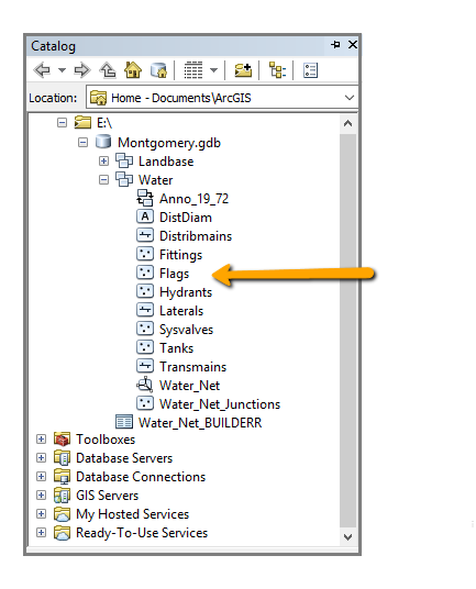
Using ESRI Tutorial Data for Utility Network Tracing (Montgomery.gdb) which is a File Geodatabase and following Arcpy script I am not getting any erro on running the script to find the path between two points in Flag (point) layer
import arcpy
gnVersionFDS_Net = "E:/Montgomery.gdb/Water/Water_Net"
Flags = "E:/Montgomery.gdb/Water/Flags"
gnVersionFDS_1 = "gnVersionFDS_1_Net"
arcpy.TraceGeometricNetwork_management(gnVersionFDS_Net, gnVersionFDS_1, Flags, "FIND_PATH", "", "", "", "", "", "NO_TRACE_ENDS", "", "", "", "AS_IS", "", "", "", "AS_IS")
print "The Proccess Done"
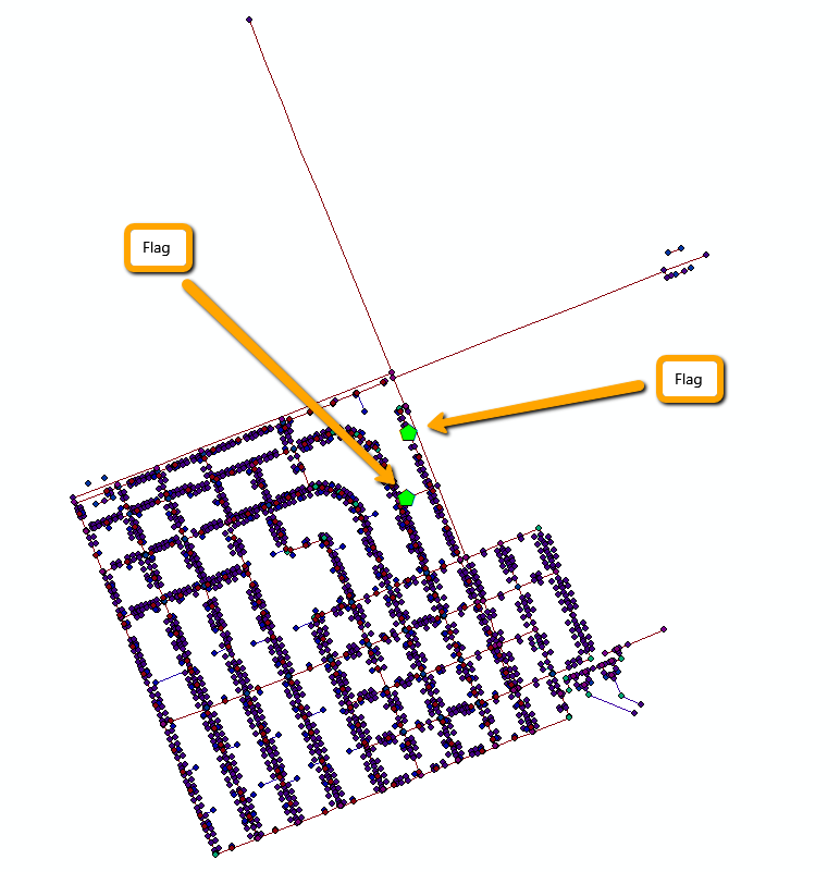
I added the Flag layer manually to the Dataset and it has two points as
again, I am not getting any error but I am not seeing any layer and path to be generated or added to somewhere. Can you please let me know what I am doing wrong or how can I make this rum properly?