Turn on suggestions
Auto-suggest helps you quickly narrow down your search results by suggesting possible matches as you type.
Cancel
- Home
- :
- All Communities
- :
- Developers
- :
- Python
- :
- Python Questions
- :
- rotate by field
Options
- Subscribe to RSS Feed
- Mark Topic as New
- Mark Topic as Read
- Float this Topic for Current User
- Bookmark
- Subscribe
- Mute
- Printer Friendly Page
rotate by field
Subscribe
2969
0
03-06-2015 06:27 AM
03-06-2015
06:27 AM
- Mark as New
- Bookmark
- Subscribe
- Mute
- Subscribe to RSS Feed
- Permalink
Good day
I have a road layer and a point layer representing villages. The points need to become villages.
with same tools (buffer, random points tool, etc) I have this so far:
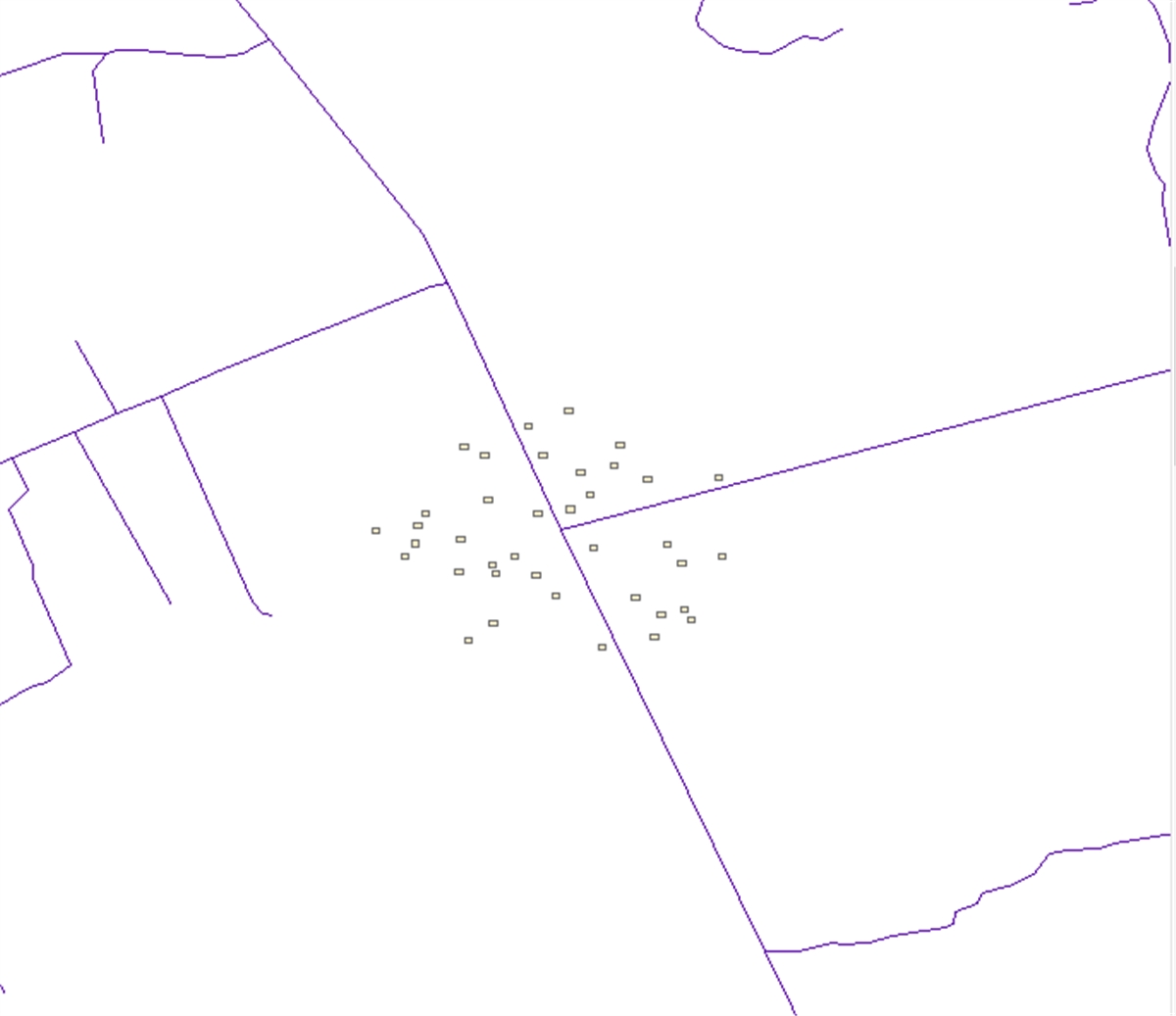
Looks about right but..
-is it possible to have same random on the square width and length?
-is it possible to have the houses align to the roads?
So far i was looking at script by ET geo wizards “polygon_rotate_byFieldValues.cal”
'=========================
'polygon_rotate_byFieldValues.cal
'Author: Ianko Tchoukanski
'http://www.ian-ko.com
'=========================
Dim pPolygon As IPolygon
dim pArea As IArea
Dim pOrigin As IPoint
Dim dAngle As Double
Dim pTransform As ITransform2D
Dim Pi as Double
Dim sAngleField
'=======================
'adjust the value below
sAngleField = [Angle]
'=======================
Pi = 4 * Atn(1)
If (Not IsNull([Shape])) Then
  Set pPolygon = [Shape]
  dAngle = sAngleField*Pi/180
  If (Not pPolygon.IsEmpty) Then
    Set pArea = pPolygon
    Set pOrigin = pArea.Centroid
    Set pTransform = pPolygon
    pTransform.Rotate pOrigin, dAngle
  End If
End If
__esri_field_calculator_splitter__
pPolygon
looks promising but it is not working
Thank you and greetings Peter
0 Replies