I have a feature service created in ArcGIS Survey123 using Connector which collects the following data:
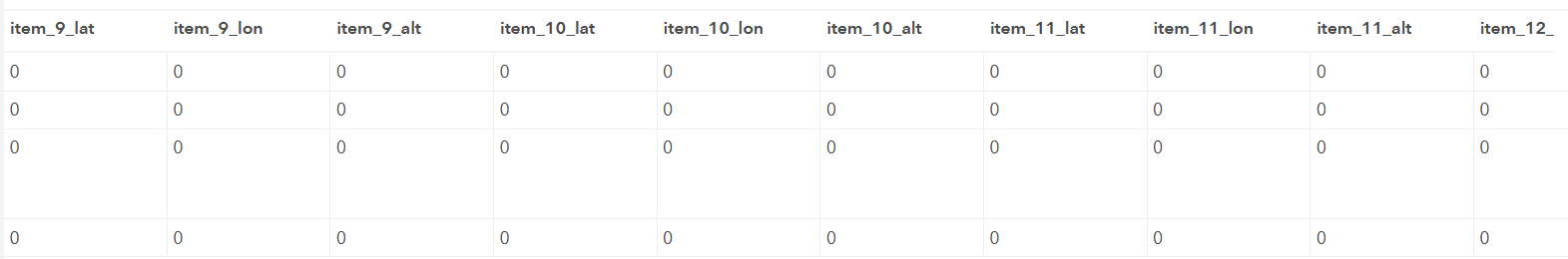
The image above is displaying 4 records with blank x,y,z coordinates. If I have a total of 25 items I'll be creating points for 100 items for 4 records.
I'm interested in suggestions for the best method of automating the creationg of points for each of these 'items' (item_9, item_10, ...).
Bonus, relating the images taken at each location prefixed with item_9, item_10 ...
Thanks in advance.
Regards,
Todd