ArcGIS Toolbox for WhiteboxTools v0.1.0 released. It is an ArcGIS Python Toolbox for Prof. John Lindsay's open-source
WhiteboxTools library. The
WhiteboxTools library currently contains
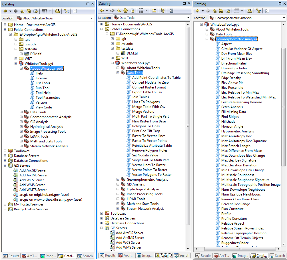
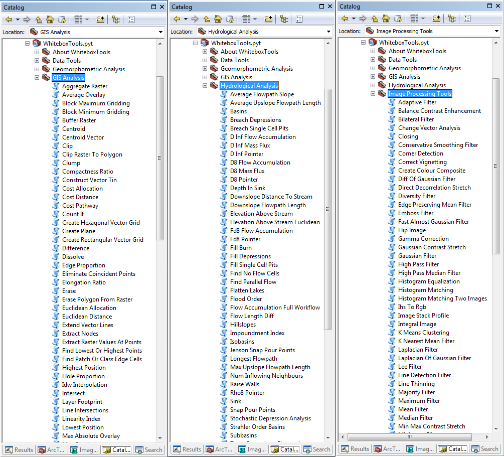
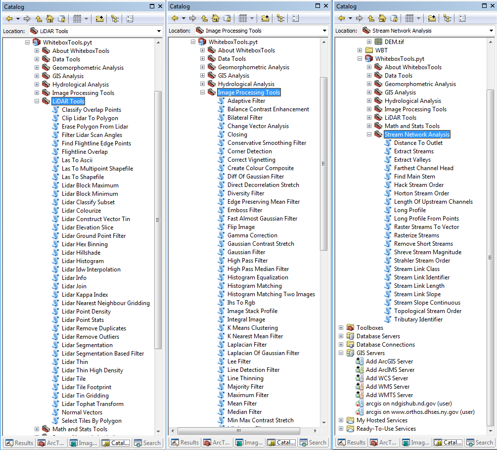
400 tools for geospatial analysis, which are each grouped based on their main function into one of the following categories:
Data Tools, GIS Analysis, Hydrological Analysis, Image Analysis, LiDAR Analysis, Mathematical and Statistical Analysis, Stream Network Analysis, and Terrain Analysis. You can download the toolbox from the link below:
If you are interested in using WhiteboxTools with Python or R, check the links below:
See below the toolbox screenshots: