- Home
- :
- All Communities
- :
- Developers
- :
- Python
- :
- Python Blog
- :
- Free advanced tools ... Polygons to lines or segme...
Free advanced tools ... Polygons to lines or segments
- Subscribe to RSS Feed
- Mark as New
- Mark as Read
- Bookmark
- Subscribe
- Printer Friendly Page
Free basic functionality.
Once again, functionality that is normally restricted to the Standard or Advanced ArcGIS Pro license.
Previously
- Feature Extent to Poly Features
- Free Tools : Frequency and Statistics
Help topics
- Convex hull in Minimum bounding geometry
Implementation
The implementation here is a combination of a couple of things.
- conversion of Polygons to Polylines
- poly* features to segments
It doesn't do the overlap thing... you will have to pay the big $$$ for that (for now).
Output examples
I tossed in a bounding container so you could see the points.
- Specify the input featureclass (polygon, polyline or multipoint),
- the output featureclass,
- select feature to point from the tool selection and
--------------------------------------------------------------------------------------------------------------------------------------------------------
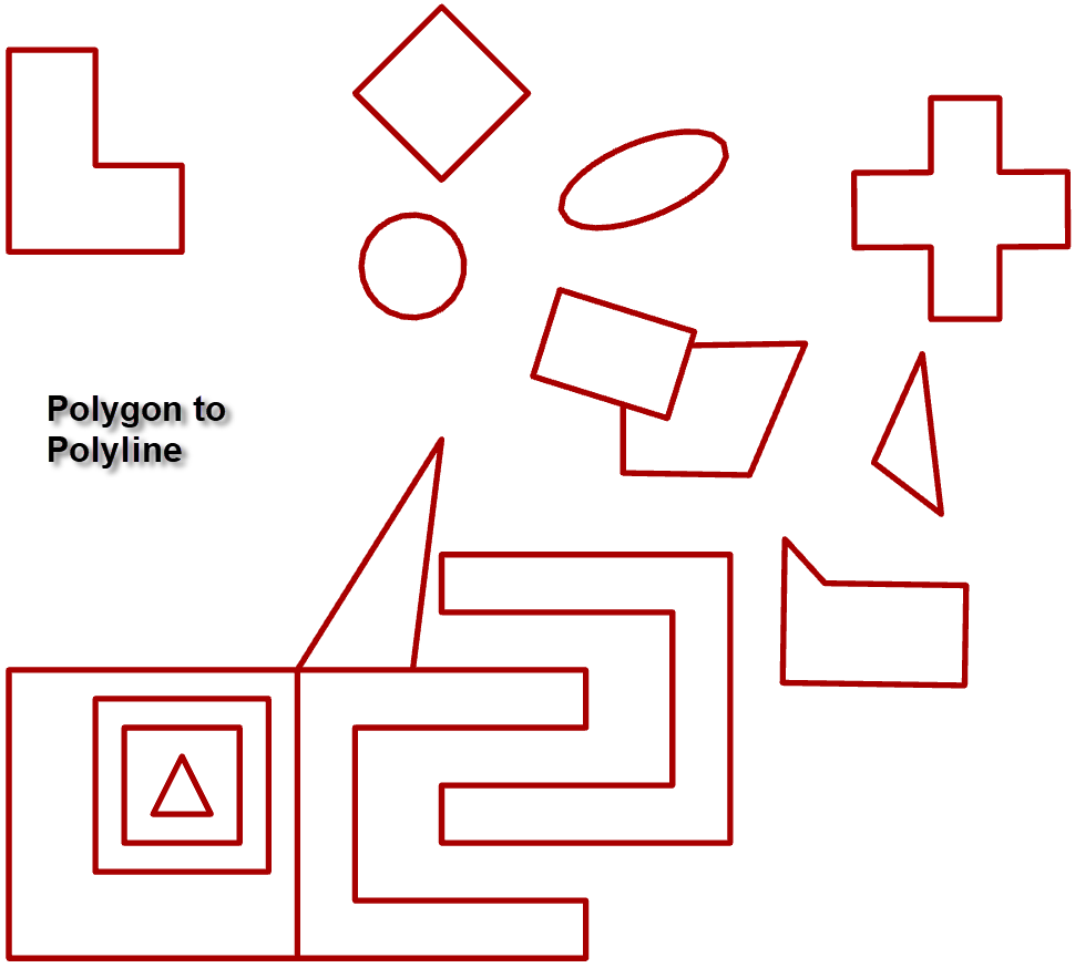
First... To the left.
Not too exciting, but it is there.
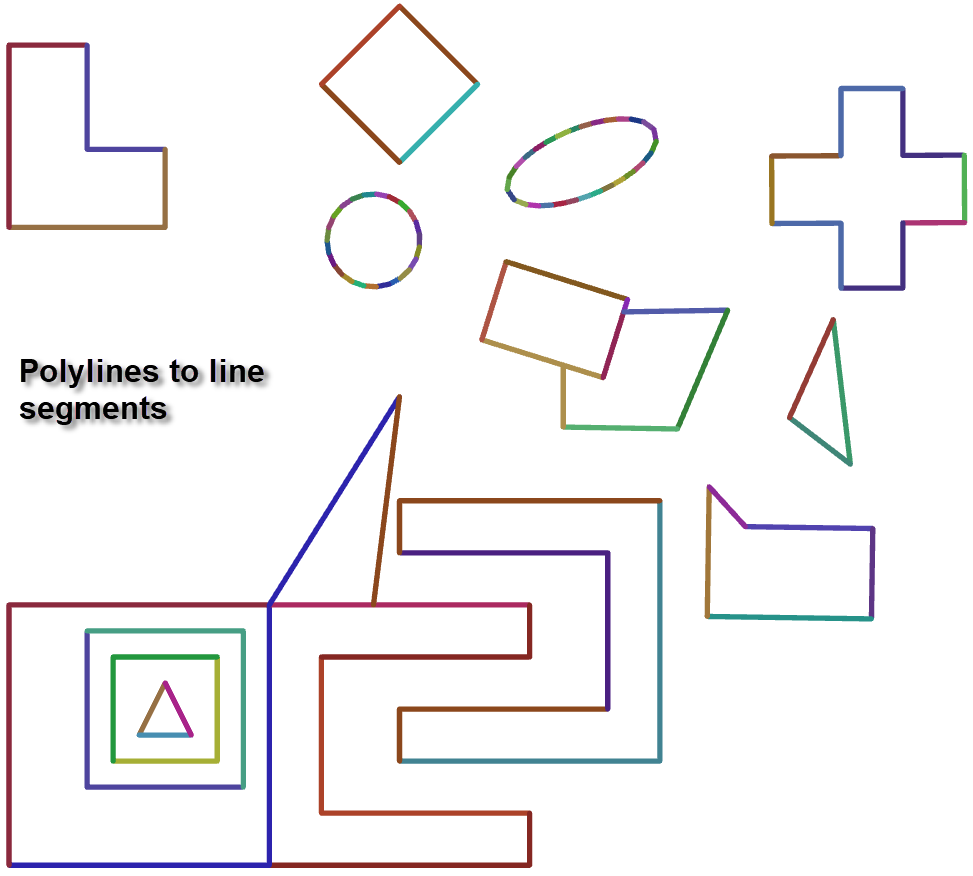
Second... To the right.
Pretty.
WARNING
I have code that checks the validity of the file paths. If you input or output paths contain spaces or other flotsam, then the tool will not produce any results. Why? Too many questions where file paths are the problem. I won't 'enable' the current practice 
Download
You can copy the contents of the folder on my GitHub pages. No fancy install, just create a folder, throw the stuff in, load the toolbox and give it a try.
Got any geometry related or analysis tools you need implemented? let me know
You must be a registered user to add a comment. If you've already registered, sign in. Otherwise, register and sign in.