- Home
- :
- All Communities
- :
- Industries
- :
- Transportation
- :
- Public Transit
- :
- Public Transit Questions
- :
- I have a Polyline Feature class that I wish to mai...
- Subscribe to RSS Feed
- Mark Topic as New
- Mark Topic as Read
- Float this Topic for Current User
- Bookmark
- Subscribe
- Mute
- Printer Friendly Page
I have a Polyline Feature class that I wish to maintain in 3D Editing
- Mark as New
- Bookmark
- Subscribe
- Mute
- Subscribe to RSS Feed
- Permalink
- Report Inappropriate Content
Hi All,
I'm looking for guidance or a miracle..
I have a Polyline feature class that is Z aware when first built but to adjust and add new features to it. It seems I can only create another Feature class with the updated Z aware Polyline features. and generally having to delete and replace data in the database to maintain the static dataset.
I have tried ArcScene to edit in 3d with very limited success, ie it takes about 10 minutes to digitize a line of 15 vertices 250 metres long (display performance is slow). And then often it will not populate the Z attribute of the vertices along the line, I have only been successful once. (I have tried different Elevation Sources from Raster to TIN and a few others TIF etc).
If I restart the same session and reload the ArcScene document the next day and add a new feature it again takes 10 minutes and has lost the z awareness,
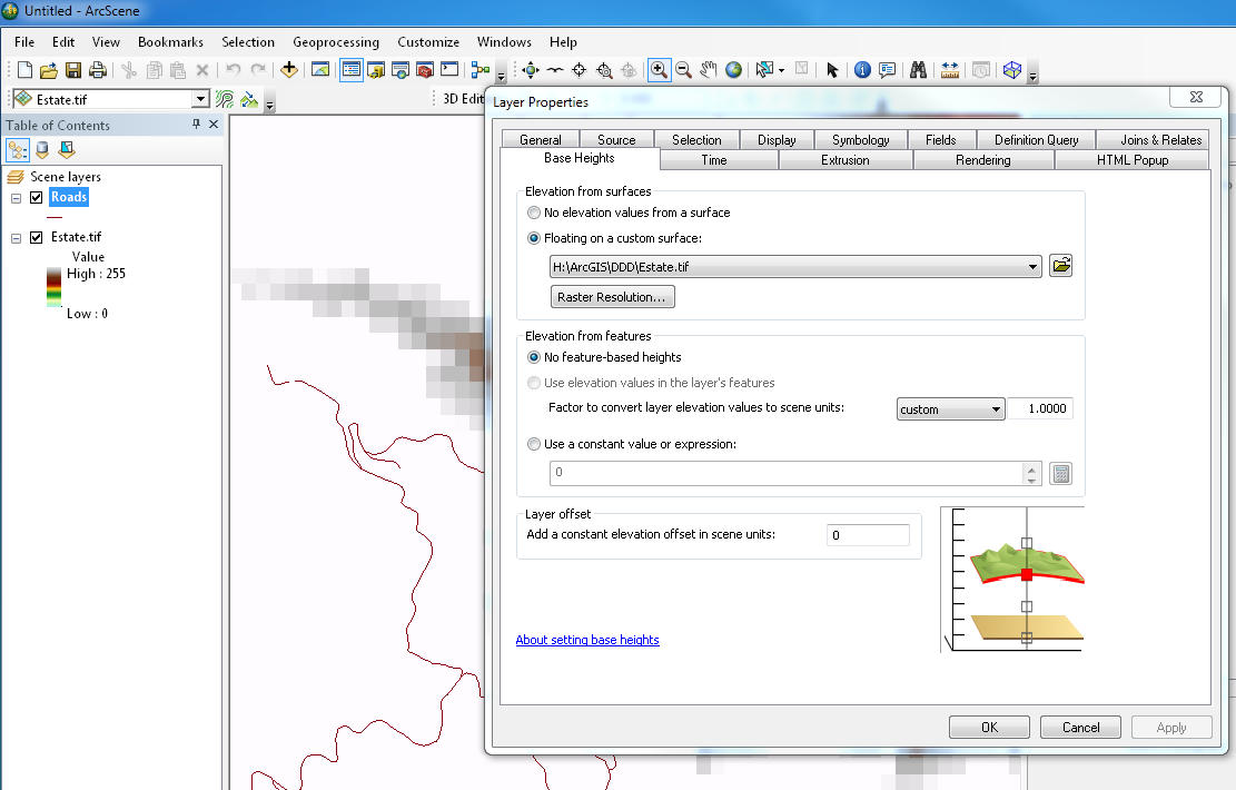
The Polyline Layer knows the Elevations are derived from the 3D Surface but it will not populate the Z value.
I would actually prefer to edit the Z aware features in ArcMap as it is linked to another relational database so if I split a polyline in half it's ID also needs to be updated in the relational database with appropriate new records added.
The 3D line itself only really needs it's Start point and Finish point Z values to be known as I am trying to calculate Gradient of the line over the surface.
To me this sounds like basic 3D editing but I am surprised that I cannot do it easily or quickly. as all I am wanting is the Z value interpolated from the surface to be stored with the Polyline itself.
Why change Polyline features you ask? Well it is all about decision processes of determining Gradient and keeping the gradient within physical constraints such as 12% slope between end points. If you shift the polyline up or down the surface in XY, the Z value has to change also, so I need to reflect this in as near as possible to real time during the editing process, whilst maintaining the links to the relational database.
I am just at a loss as to how to achieve this easily. The modifications could encompass 50 -100 alterations in any one session, and one gradient change affects the next polyline gradient in the network of line features.
Thanks
Mat Boonen , Hikurangi . NZ
Solved! Go to Solution.
- Mark as New
- Bookmark
- Subscribe
- Mute
- Subscribe to RSS Feed
- Permalink
- Report Inappropriate Content
The tool is written in VB.Net and I have not published the code, just the add-in. I will be working out a process to add Z values to vertices of pipelines soon. A GIS tech is plotting the pipelines and adding a starting Z and ending Z from our improvement plans into two double fields. She is not editing the actual Z values.
I will write a tool to add those Z values to the start and end points and interpolate the Z values for any vertices between using a constant rate of ascent or descent based on the 2D lengths between vertices. For pipelines this should be fine since they do not follow any surface model and are only meant to change vertical direction where elevations are given. Generally the pipelines are being broken where significant changes of direction occur, but only if an elevation is indicated. True curves are being used for pipes that turn corners, so for those I usually only have to apply the start and end Z values.
Anyway, I was waiting for a significant number of pipes to be plotted before developing the tool, but I think that point has been reached. I have to develop my tools in .Net, because we use true curves, which python geometry methods do not support and would corrupt. My tools also have to support both versioned and non-versioned SDE editing and non-SDE editing.
- Mark as New
- Bookmark
- Subscribe
- Mute
- Subscribe to RSS Feed
- Permalink
- Report Inappropriate Content
Sounds great, keep me informed if you don't mind I am always looking at ways to improve these processes. I hadn't taken the similarity to pipelines as to what I am trying to achieve but their is certainly a lot of "shared fabric" in a 3D sense.
Thanks again
Mat
- « Previous
- Next »
- « Previous
- Next »