- Home
- :
- All Communities
- :
- Industries
- :
- Public Safety
- :
- Public Safety Questions
- :
- Convert Coordinate Notation
- Subscribe to RSS Feed
- Mark Topic as New
- Mark Topic as Read
- Float this Topic for Current User
- Bookmark
- Subscribe
- Mute
- Printer Friendly Page
Convert Coordinate Notation
- Mark as New
- Bookmark
- Subscribe
- Mute
- Subscribe to RSS Feed
- Permalink
How could I have missed such a useful tool that has been in ArcMap since 10.1?
ArcGIS Pro Convert Coordinate Notation—Data Management toolbox | ArcGIS for Desktop
ArcMap Convert Coordinate Notation—Help | ArcGIS for Desktop
This can save you a lot of time, especially for those of us working with aircraft that use degrees decimal minutes (DDM). When I was a Ranger in Yosemite I used to do all of the equations in Excel to make it work, but that is not really optimal.
Example - You get an Excel spreadsheet of helicopter landing locations or local placenames in DDM but need to plot it on a map. ArcGIS and most mapping software are driven by databases and really prefer to plot decimal degrees (DD) or grid based coordinates (USNG / MGRS, UTM, etc.).
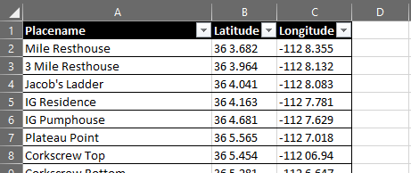
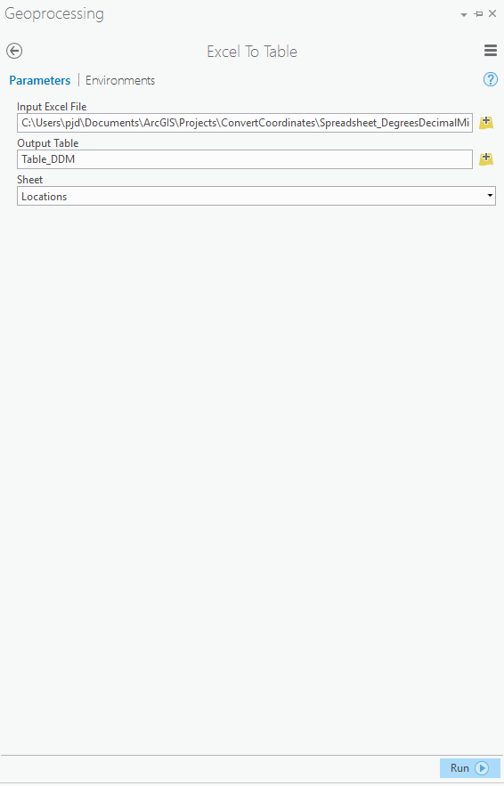
- Use Excel to Table to create a table we can use in ArcGIS Desktop / ArcGIS Pro Excel To Table—Conversion toolbox | ArcGIS for Desktop
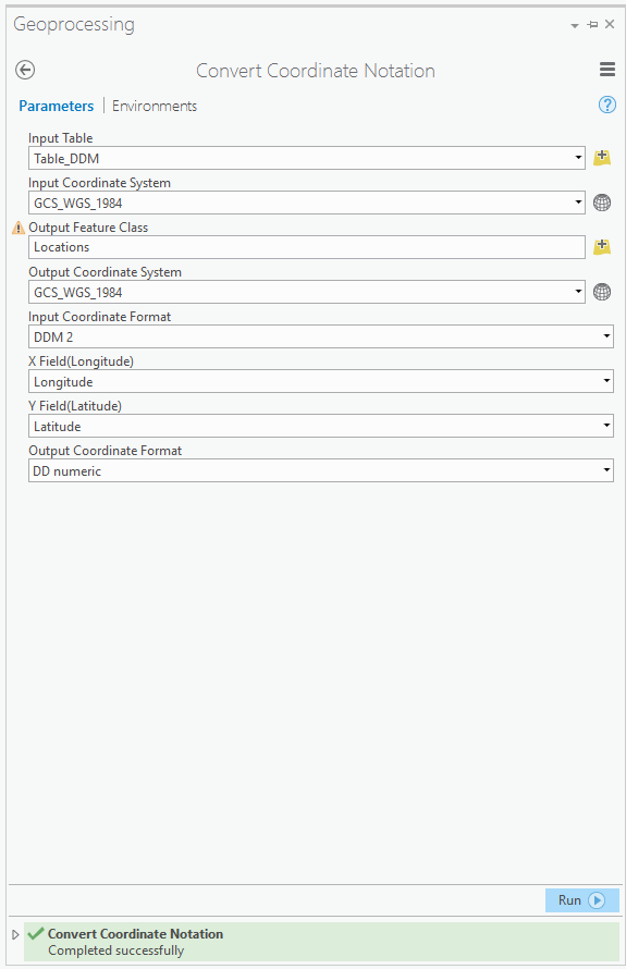
2. Use the Convert Coordinate Notation Tool Convert Coordinate Notation—Data Management toolbox | ArcGIS for Desktop
This tool will plot your points (if geometry is correct) on the map and add the fields in your new coordinate format.
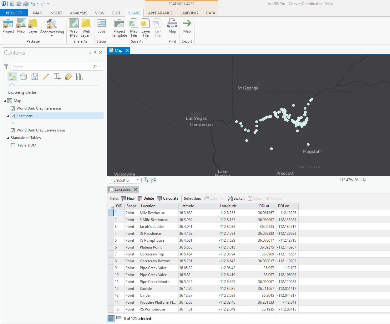
3. (Optional) Publish it as a web map! Share a web map—ArcGIS Pro | ArcGIS for Desktop
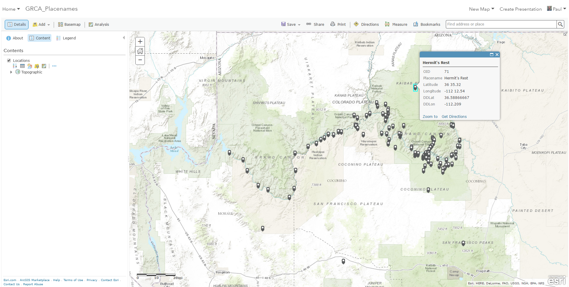
4. (Optional) Use a web mapping application to allow the team to correct existing locations and add new ones to the layer (so you don't have to geocode the spreadsheet next time!). I would suggest Web AppBuilder or the very simple Edit configurable template. Create apps from maps—ArcGIS Online Help | ArcGIS
Example: http://arcg.is/2cBm4OB
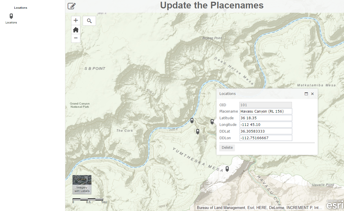
Please leave me some feedback below if any of this is unclear or if you find this tip helpful.