- Home
- :
- All Communities
- :
- User Groups
- :
- New Zealand GIS for Emergency Management Community
- :
- Questions
- :
- NZ Common Alerting Protocol
- Subscribe to RSS Feed
- Mark Topic as New
- Mark Topic as Read
- Float this Topic for Current User
- Bookmark
- Subscribe
- Mute
- Printer Friendly Page
NZ Common Alerting Protocol
- Mark as New
- Bookmark
- Subscribe
- Mute
- Subscribe to RSS Feed
- Permalink
The first release of the New Zealand Common Alerting Protocol Guidelines has been released: This is great news for New Zealand as it provides the first geospatial intelligence for notification of forecast and current hazards. It is used by other counties and we can learn from their approach.
Key Message: If you work in the geospatial industry, this is going to impact you, so follow closely!
Resources
Public Alert and Warning Training Materials - (from the US National Alliance for Public Safety GIS Foundation) In the United States they use a system called IPAWS and it is based on CAP. The data is provided in the standard XML format via a hub and then made available as live, scalable web services in a variety of OGC formats with standardized symbology.
NZ Common Alerting Protocol Guideline - This document is written by the New Zealand CAP Working Group and owned by the ‘Principal Advisor - National Operations, Ministry of Civil Defence and Emergency Management (MCDEM)’. Before using this guideline always email opsteam@dpmc.govt.nz to check you have the latest version.
- Developing business analysis requirements for CAP messages;
- Developing logic for the interchange or uptake of CAP messages;
- Discovering further useful CAP resources;
- Becoming an official Alerting Authority and joining the Working Group.
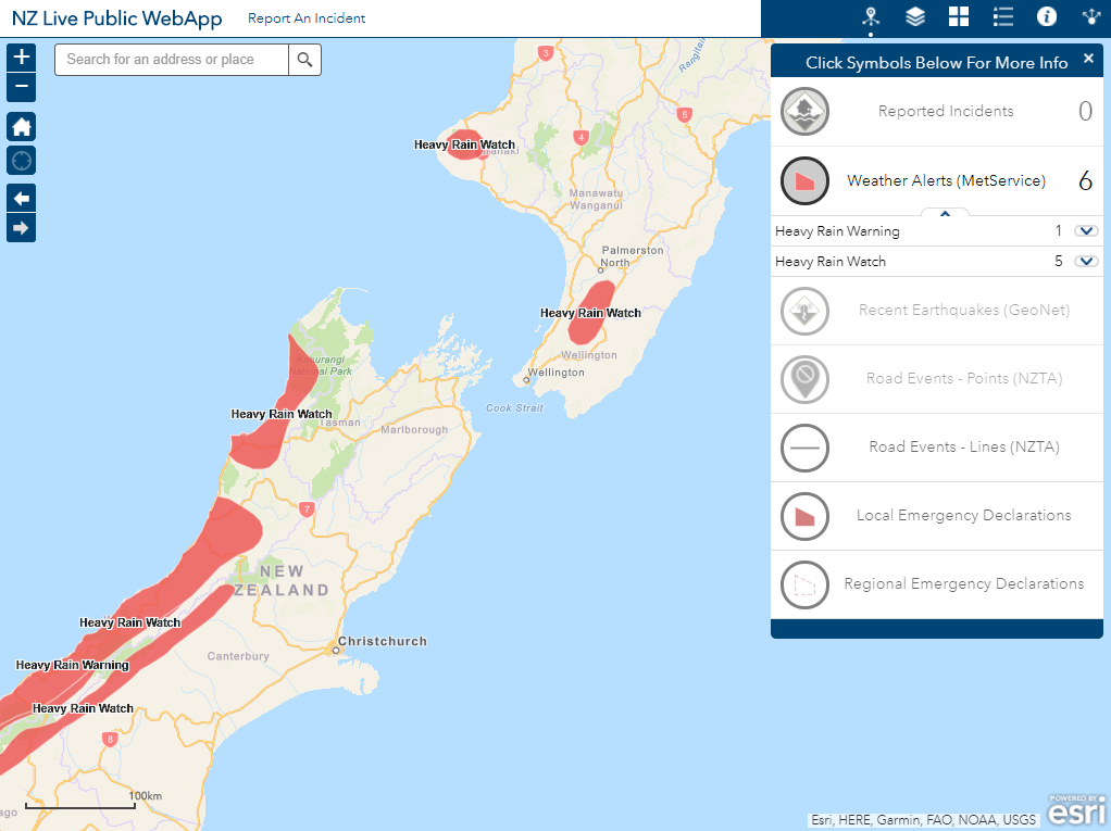
Here is a feature layer view that is using the MetService CAP feed as the source: http://eaglegis.maps.arcgis.com/home/item.html?id=b4967d1b25c349edb1fa20a182568c19#overview
Here is an example of using MetService CAP Feeds in a web mapping application.
- Mark as New
- Bookmark
- Subscribe
- Mute
- Subscribe to RSS Feed
- Permalink
Unfortunately I cannot go back and edit this article - but the NZ CAP Website is now live:
Common Alerting Protocol » Ministry of Civil Defence and Emergency Management
The standard is hosted by MCDEM