- Home
- :
- All Communities
- :
- Developers
- :
- Native Maps SDKs
- :
- .NET Maps SDK Questions
- :
- Displaying a Vector Tile Map in a Scene
- Subscribe to RSS Feed
- Mark Topic as New
- Mark Topic as Read
- Float this Topic for Current User
- Bookmark
- Subscribe
- Mute
- Printer Friendly Page
Displaying a Vector Tile Map in a Scene
- Mark as New
- Bookmark
- Subscribe
- Mute
- Subscribe to RSS Feed
- Permalink
I am building an application using the ArcGIS Runtime SDK for .NET that displays buildings in a SceneView. None of the pre-built basemaps meet the design requirements for the application, so I want to implement my own basemap. I created a style using the Vector Tile Style Editor and have it save here on my organization's ArcGIS Online account.
Here's what I have tried:
ArcGISVectorTiledLayer vectorTiledLayer = new ArcGISVectorTiledLayer(new Uri("https://u-of-l.maps.arcgis.com/home/item.html?id=05dc0075e8f14b2faef45c4d29ee6de8"));
Scene.Basemap = new Basemap(vectorTiledLayer);I tried using this arcticle to publish a WebTileLayer with the basemap, but since it's a vector, it didn't work
I have seen this article stating that Vector Tile Layers aren't supported in 3D, but since I am able to load the basemap in ArcGIS Pro AND the ArcGIS SceneViewer online, there must be a way to do it.
Any help on this would be greatly appreciated!
arcgis runtime wpf sceneview vectortilelayer openstreetmap vector basemap
- Mark as New
- Bookmark
- Subscribe
- Mute
- Subscribe to RSS Feed
- Permalink
Hi,
In ArcGIS Runtime vector tiled layers are currently only supported in the 2D map view. Support for vector tiled layers in the 3D scene view is on our roadmap for a future release.
Thanks
Mike
- Mark as New
- Bookmark
- Subscribe
- Mute
- Subscribe to RSS Feed
- Permalink
Hi Mike,
Thanks for the prompt response! Is there any other solution that might meet my needs?
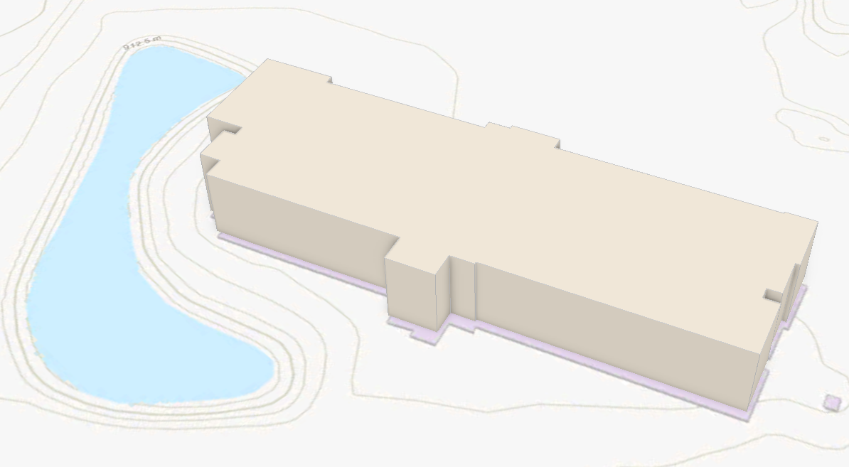
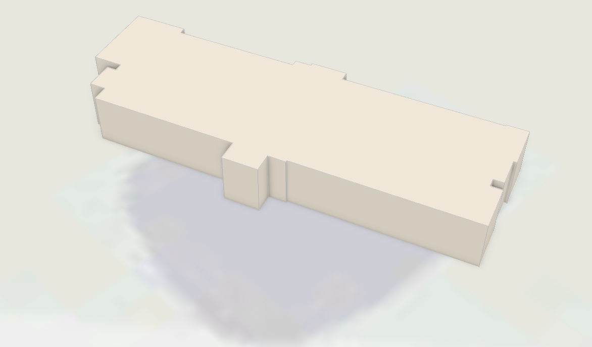
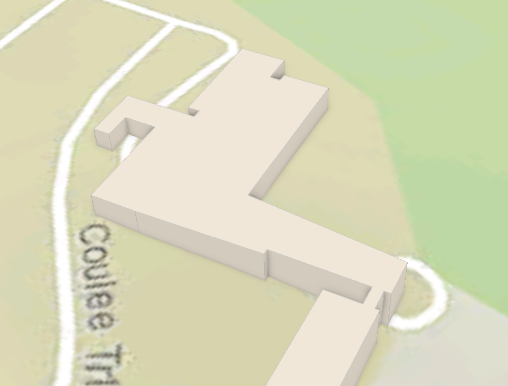
The specific issue I'm having is that the built-in basemaps don't match the real-world at the small scale that I'm at. Here's some examples:
With the Topographic basemap, the buildings aren't aligned properly. Ideally, I'd like to just remove buildings from the basemap entirely

With the Light Gray Canvas basemap, the pond is in the wrong location, and it's very pixellated

With the National Geographic basemap, the roads aren't correct

The closest I've found is the OpenStreetMap basemap, but the default style is very visually unappealing, hence why I was trying to implement my own style.

Are there any other basemap services that will work in 3D that I could look at? I tried to search myself, but I wasn't able to find anything other than the built-in basemap services.
Thanks again,
Everett
- Mark as New
- Bookmark
- Subscribe
- Mute
- Subscribe to RSS Feed
- Permalink
Hi,
This URL is a search of the basemaps on ArcGIS Online filtered by 'raster'. Note some may include both raster and vector content. Alternatively you might consider publishing you own tiled service.
When features don't precisely line up with the basemap data, it can be challenging to determine which one is technically out of place. It may also be worth taking a looking at this Guide topic on Spatial References in ArcGIS Runtime.
Thanks
Mike
- Mark as New
- Bookmark
- Subscribe
- Mute
- Subscribe to RSS Feed
- Permalink
Hi Everett.
One other thing you could try is the WebTiledLayer. This allows you to use image tiles from non-ArcGIS services if you happen to have a basemap elsewhere that does work for you.
Cheers,
Nick.
- Mark as New
- Bookmark
- Subscribe
- Mute
- Subscribe to RSS Feed
- Permalink
Hi,
I am also having similar requirement of vector tile basemap to be displayed Sceneview. Can we expect this feature in upcoming release?
Thanks ,
Karthi
- Mark as New
- Bookmark
- Subscribe
- Mute
- Subscribe to RSS Feed
- Permalink
Hi,
The preparatory work to support vector tiles in the SceneView has started already but we expect that work may span multiple releases and is therefore on our medium-term roadmap, probably to be introduced with a release in 2021.
Thanks
Mike
- Mark as New
- Bookmark
- Subscribe
- Mute
- Subscribe to RSS Feed
- Permalink
Hi Mike!
Do you have a more precise release date for us now when some time has passed?
Thanks
Daniel
- Mark as New
- Bookmark
- Subscribe
- Mute
- Subscribe to RSS Feed
- Permalink
Any news on this feature or a release date?
Thank you!