Hi All,
I have a data driven map setup and it is very close to how we need it, but as my scale is set to best fit it is not percfect.
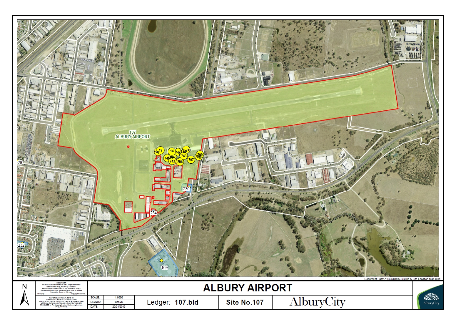
99% of my pages work great, and they look like this:
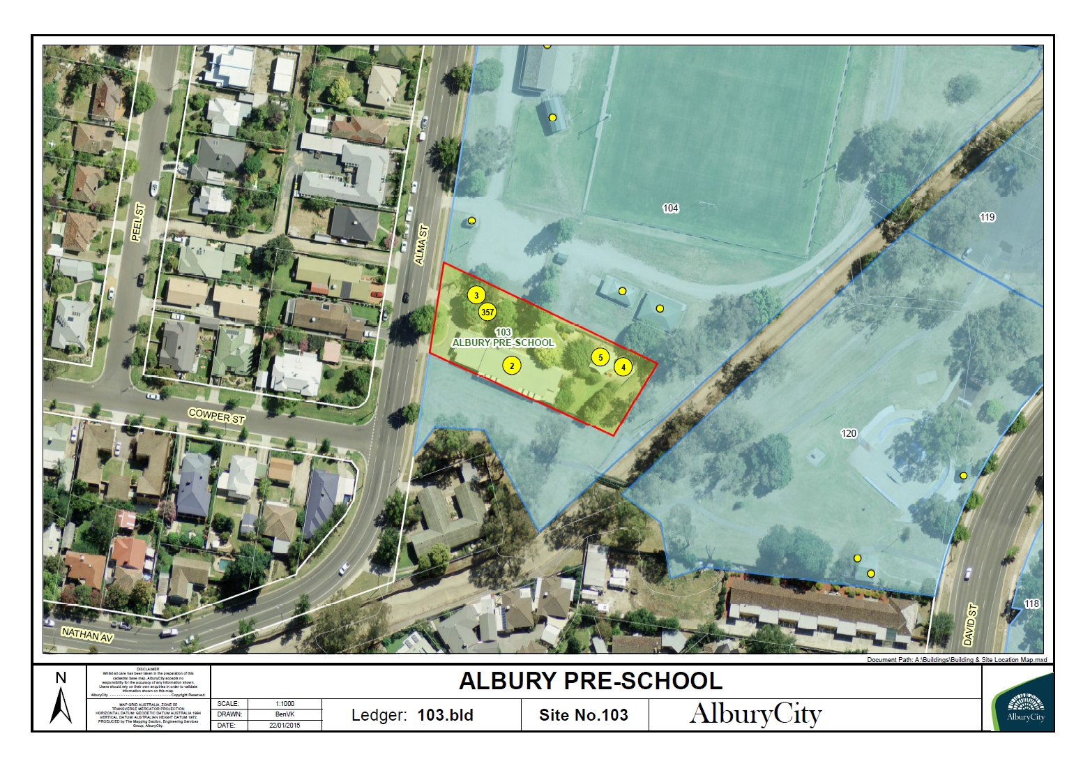
Then on the other hand, I have a couple of sites which are a little 'busier', which makes my building points unreadable as they are in a cluster, see example:
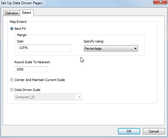
So what I am wanting to do, is calculate a field automatically which would be called "data_driven_scale", then I will be able to select the field in the "Set Up Data Driven Pages" dialog:
So as I have 150+ pages I do not want to manually enter the scale I would like to use, but I would like arcmap to automatically tell me what it is using, then I can go through and manually edit the scale set for the handful of pages which need tweaking.
Does anyone know if this is possible?
Thanks