- Home
- :
- All Communities
- :
- Products
- :
- Mapping
- :
- Map Projections Questions
- :
- projections to calculate perimeter (small areas)
- Subscribe to RSS Feed
- Mark Topic as New
- Mark Topic as Read
- Float this Topic for Current User
- Bookmark
- Subscribe
- Mute
- Printer Friendly Page
projections to calculate perimeter (small areas)
- Mark as New
- Bookmark
- Subscribe
- Mute
- Subscribe to RSS Feed
- Permalink
Hello,
Someone let me know what the best projection to calculate the perimeter of polygons. I need to calculate the perimeter (border) of all countries of the world. They are grouped by continent.
Must also calculate the area of the cities of these countries.
I used the projection Albers for each continent, but realized that for small areas it returns 0.
thank you all
Solved! Go to Solution.
Accepted Solutions
- Mark as New
- Bookmark
- Subscribe
- Mute
- Subscribe to RSS Feed
- Permalink
Well, Joyce, that depends how you define "problem". I'm quite sure that the calculations we are coming up with are correct for this dataset. This wikipedia page explains the issue very well: List of countries by length of coastline - Wikipedia, the free encyclopedia. Basically, the CIA figures are calculated using data digitized at a very different scale, and there is no way to come up with the same numbers, unless you use the same dataset. You can decide to just use the CIA figures, or calculate your own from the GDAM data. I guess if you want to do further analyses that the CIA hasn't provided, then you'll have to trust the data. It certainly sounds like you're doing it correctly.
As an aside, I'm wondering if typing CIA this many times on an internet forum is putting me on some kind of watchlist! 
- Mark as New
- Bookmark
- Subscribe
- Mute
- Subscribe to RSS Feed
- Permalink
But even the smallest country has a perimeter of at least a mile, and cities would have some area greater than zero? What method are you using to calculate?
- Mark as New
- Bookmark
- Subscribe
- Mute
- Subscribe to RSS Feed
- Permalink
This tool might give you some ideas to try though: Projection Wizard. The basic idea would be to preserve area, since that would give you the most accurate perimeter.
- Mark as New
- Bookmark
- Subscribe
- Mute
- Subscribe to RSS Feed
- Permalink
are you using a geodatabase or something else? are the boundaries of the cities shown on the map? what is the precision of the field and what is the area unit? It is quite possible that this could give rise to values being truncated or rounded to 0. Is there any reason you are trying to mix continental scale data with local data?
- Mark as New
- Bookmark
- Subscribe
- Mute
- Subscribe to RSS Feed
- Permalink
Hello
Look what I did:
1. I took all the available shapes of GDAM for the different political levels
question: Does anyone know another source for geopolitical shapes. For example, for some countries I have not found the cities of division.
2. I have separated by levels: countries, states / provinces and cities.
3. Again, I have separated by continents (to use their projections).
So I have all cities in one shape to South America, in another shape have states and others have the country ... in the same way to all continents.
To perform the calculations I added two columns in the attribute table. A related area and the other related to the perimeter, and so used the function that calculates the respective variables.
But I do not know if the perimeter this close to real because I got zero values.
From what Albers test is more accurate than Lambert in the calculation of the area. This is because I compared with the values of Worldbank <http://data.worldbank.org/indicator/AG.LND.TOTL.K2>
However, when comparing to the boundary value with the CIA provides values <https://www.cia.gov/library/publications/resources/the-world-factbook/fields/2096.html#133 >> The values I calculated are very different.
Remembering that I still have the problem with small areas q have zero boundary value.
- Mark as New
- Bookmark
- Subscribe
- Mute
- Subscribe to RSS Feed
- Permalink
So when you say you used Albers projected data...did it come projected? or was it in a Geographic Coordinate system (GCS) and you used the Project tool to project it to a new file with the desired coordinate system. Or...worst case...you used the Define Projection tool. The only time you use the latter tool is when you add a layer to arcmap and it blurps forth that it doesn't have a coordinate system and you can't project it until it does...at which point a large number of people define it to what they want it to be and what it should be.
Also questions about the source file, is it a shapefile or a featureclass in a geodatabase? What are the field properties in terms of the number of decimal places it can report
- Mark as New
- Bookmark
- Subscribe
- Mute
- Subscribe to RSS Feed
- Permalink
Hello!
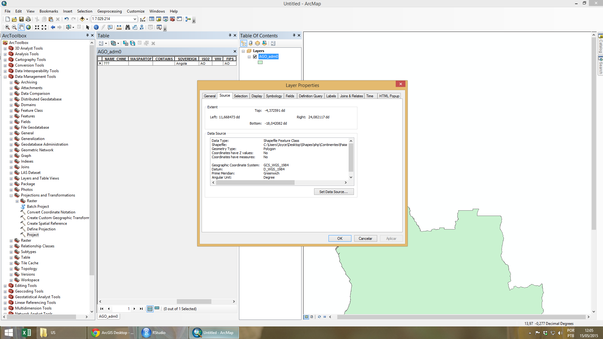
Actually all files are shapes and have the following properties:
Geographic Coordinate System: GCS_WGS_1984
Datum: D_WGS_1984
Prime Meridian Greenwich
Angle Unit: Degree
In ArcToolbox:
1. unify the individual shapes of each country according to the continents. This is done to the country level, state and city.
Data management tools -> General -> Merge -> to unite all shapes
2. Change WGD-1984 projection for Albers or Lambert
 Data management tools -> Projection and Transformations -> Project -> the output field coordinate system I choose the projection Albers for the respective continent.
- Mark as New
- Bookmark
- Subscribe
- Mute
- Subscribe to RSS Feed
- Permalink
Merge is for combining several feature classes. Are you sure you're not using dissolve? That's what I used. Anyway, when I downloaded the GDAM data, I was able to download a geodatabase. After dissolving and reprojecting the data. I added a field, type = double, called perimeter, and then used calculate geometry to calculate perimeter in miles. The smallest country was the vatican, with a perimeter of about 2 miles.
- Mark as New
- Bookmark
- Subscribe
- Mute
- Subscribe to RSS Feed
- Permalink
I did not understand.
I used to merge together the shapes of each country. And then redesign only once.
I do not know if I'm right, but if a polygon have an overlap with another polygon, the merge function creates a new internal polygon to these two areas. So, if shape of the United States has an overlap with the Canada, the merge function will create a new polygon, as if there were another country that does not exist. Is that right?
My premise is that this does not happen because the shapes and geodabases are the same source.
If I use dissolves me I will not lose internal polygons?
- Mark as New
- Bookmark
- Subscribe
- Mute
- Subscribe to RSS Feed
- Permalink
I downloaded the data for the whole world as one geodatabase. Perhaps you downloaded each country individually? That would take a while since there are over 250 countries.