- Home
- :
- All Communities
- :
- User Groups
- :
- Local Government Solutions Users
- :
- Questions
- :
- Re: Accepted formats for using Parcel Drafter?
- Subscribe to RSS Feed
- Mark Topic as New
- Mark Topic as Read
- Float this Topic for Current User
- Bookmark
- Subscribe
- Mute
- Printer Friendly Page
Accepted formats for using Parcel Drafter?
- Mark as New
- Bookmark
- Subscribe
- Mute
- Subscribe to RSS Feed
- Permalink
- Report Inappropriate Content
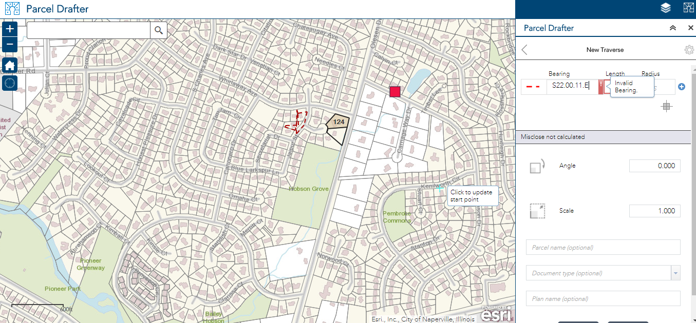
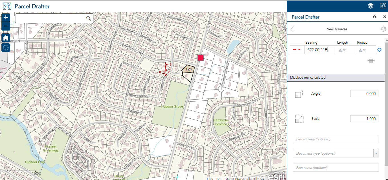
Is there documentation that lists the accepted formats for entering Bearings, Length, and Radius using the Parcel Drafter widget? The issue users encounter is the Invalid Bearing, Invalid, Length, or Invalid Radius warning when entering values. The question users ask is, "What are the acceptable formats for entering this information?" This is my question, too. I cannot find any documentation that lists the accepted formats.
Is this documentation available or can it be made available?
Dramatic reenactment below...
Help me, I don't know how to be valid!

How was I supposed to know I needed to type values like this?

Thanks so much all, and Happy Monday!
- Mark as New
- Bookmark
- Subscribe
- Mute
- Subscribe to RSS Feed
- Permalink
- Report Inappropriate Content
Personally I have never heard of the Parcel Drafter Widget. Who developed and distributed it?
I enter most of my parcels by using CTRL-A and CTRL-L (angle and length)
- Mark as New
- Bookmark
- Subscribe
- Mute
- Subscribe to RSS Feed
- Permalink
- Report Inappropriate Content
Parcel Drafter is a configuration of Web AppBuilder that uses the Parcel Drafter widget. Here is Esri's documentation: Parcel Drafter | ArcGIS for Local Government .
- Mark as New
- Bookmark
- Subscribe
- Mute
- Subscribe to RSS Feed
- Permalink
- Report Inappropriate Content
Hi Kyle,
We do have some documentation around entering bearings, for quadrant bearing the format can be entered using NSEW prefix and suffix, or you can use the common shortcuts consistent with our desktop workflows (-1, -2, -3, -4). For decimal degrees, you can use decimal places instead of dashes.

Create new parcel - Parcel Drafter | ArcGIS for Local Government