- Home
- :
- All Communities
- :
- Industries
- :
- Education
- :
- K12 Instruction
- :
- K12 Instruction Questions
- :
- Level 2 GeoInquiries: Analysis
- Subscribe to RSS Feed
- Mark Topic as New
- Mark Topic as Read
- Float this Topic for Current User
- Bookmark
- Subscribe
- Mute
- Printer Friendly Page
Level 2 GeoInquiries: Analysis
- Mark as New
- Bookmark
- Subscribe
- Mute
- Subscribe to RSS Feed
- Permalink
We're pleased to announce that we have released a new type of GeoInquiry, the Level 2 activity!
Level 2 GeoInquiries do analysis with ArcGIS Online, typically using the same great maps and activities from standard GeoInquiries. Level 2 activities are a little tougher than standard GeoInquiries, requiring an ArcGIS Online organization subscription and at least one account/login with publisher-level permissions to run the analysis tools. Since Level 2 activities are a little more complicated, they generally take a little longer but each activity can still be completed within a class period.
At this time of this writing, Level 2 activities are available in Earth Science, US History, and the new Government/Civics collection. We expect L3v3l 2 activities for human geography to be available very soon.
To find Level 2 activities, go to your favorite GeoInquiry collection and browse it. Try one out and let us know what you think!
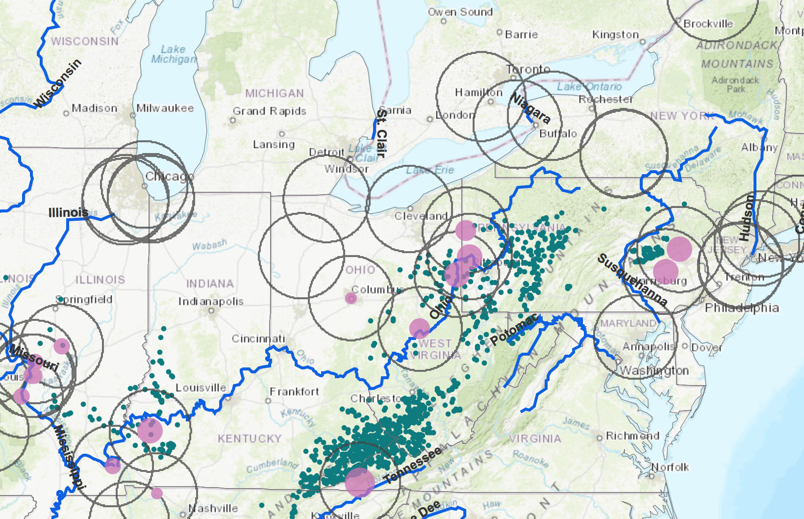
As an example, the Industrial Revolution was a critical period in American history, ushering in an energy, production, and automation expansion like rarely before seen. In the standard GeoInquiry, students explore the growth of steel in the United States, using Pittsburgh as a case study. The use of the Identify tool and Bookmarks are the principle GIS skills. In the Level 2 GeoInquiry, Coal Power, students explore the growth of steel in the United States, using Pittsburgh as a case study. The level 2 activity uses the Aggregate Points analysis tool (in Summarize Data) to quantitatively and spatially describe smelter access to coal.