- Home
- :
- All Communities
- :
- Products
- :
- ArcGIS Drone2Map
- :
- ArcGIS Drone2Map Questions
- :
- Re: Uncalibrated images Drone2Map
- Subscribe to RSS Feed
- Mark Topic as New
- Mark Topic as Read
- Float this Topic for Current User
- Bookmark
- Subscribe
- Mute
- Printer Friendly Page
Uncalibrated images Drone2Map
- Mark as New
- Bookmark
- Subscribe
- Mute
- Subscribe to RSS Feed
- Permalink
- Report Inappropriate Content
Can any1 tell my why only 34 out of 317 images have been calibrated and used for this orthomosaic?
And how do i increase this to make a complete mosaic for all my images?
I have been using the alternative calibration method because its a field so the area is homogeneous.
- Mark as New
- Bookmark
- Subscribe
- Mute
- Subscribe to RSS Feed
- Permalink
- Report Inappropriate Content
Jeppe
Do you have adequate overlap (~70%) on the images in the southern half of your project?
I know "go back out and capture more images" may not be welcome advice for THIS project, but in the future, if you have projects like this where the images look very similar (parallel rows in an agricultural field) it is VERY helpful if you can fly your project normally, then (or first) fly to maximum altitude and capture the full project at low resolution over the full site, and process all together in one project. (recalculate a new set of flightlines for the high altitude overpass)
As noted in my other response, it's also recommended to always use ground control - I think that would help in this project as well, presuming you have adequate overlap and can find some approximate ground control from the imagery basemap.
Cody B
- Mark as New
- Bookmark
- Subscribe
- Mute
- Subscribe to RSS Feed
- Permalink
- Report Inappropriate Content
Cody
Thx for the quick response.
The overlap should be 80% on all images. The weird thing is we have taken drone images of 40 different areas like this twice this year, once in May and once in July, with the same settings on the drone, except we the lens was sometimes set to "bird view" and sometimes it wasn't can this have an effect on the settings you need to use in D2M?
The processing report below is from the same area 2 months after and i could stitch that with calibration method "Alternative"?
- Mark as New
- Bookmark
- Subscribe
- Mute
- Subscribe to RSS Feed
- Permalink
- Report Inappropriate Content
Jeppe
I have never heard of a "bird view" setting for the lens - am I correct that is a fisheye (very wide angle) view? Yes, that would have a dramatic effect on the processing especially if the software did not know the lens could be changed - we may be using the wrong camera calibration parameters.
My advice: use the orthomosaic created in this project LOOP3_st303_st308_20190709 to provide ground control before processing your other date over the same site
Cody
- Mark as New
- Bookmark
- Subscribe
- Mute
- Subscribe to RSS Feed
- Permalink
- Report Inappropriate Content
Cody
Do you know anything about if D2M will process images different depending on how they have been shot, like in the images i have posted below?
Also i can see on your website under "processing options", there should be a option to not optimize internal camera parameters, but i do not see that option in my version og D2M 2.01.
I can not fint the "Advanced: Calibration" in my option.
- Mark as New
- Bookmark
- Subscribe
- Mute
- Subscribe to RSS Feed
- Permalink
- Report Inappropriate Content
Cody
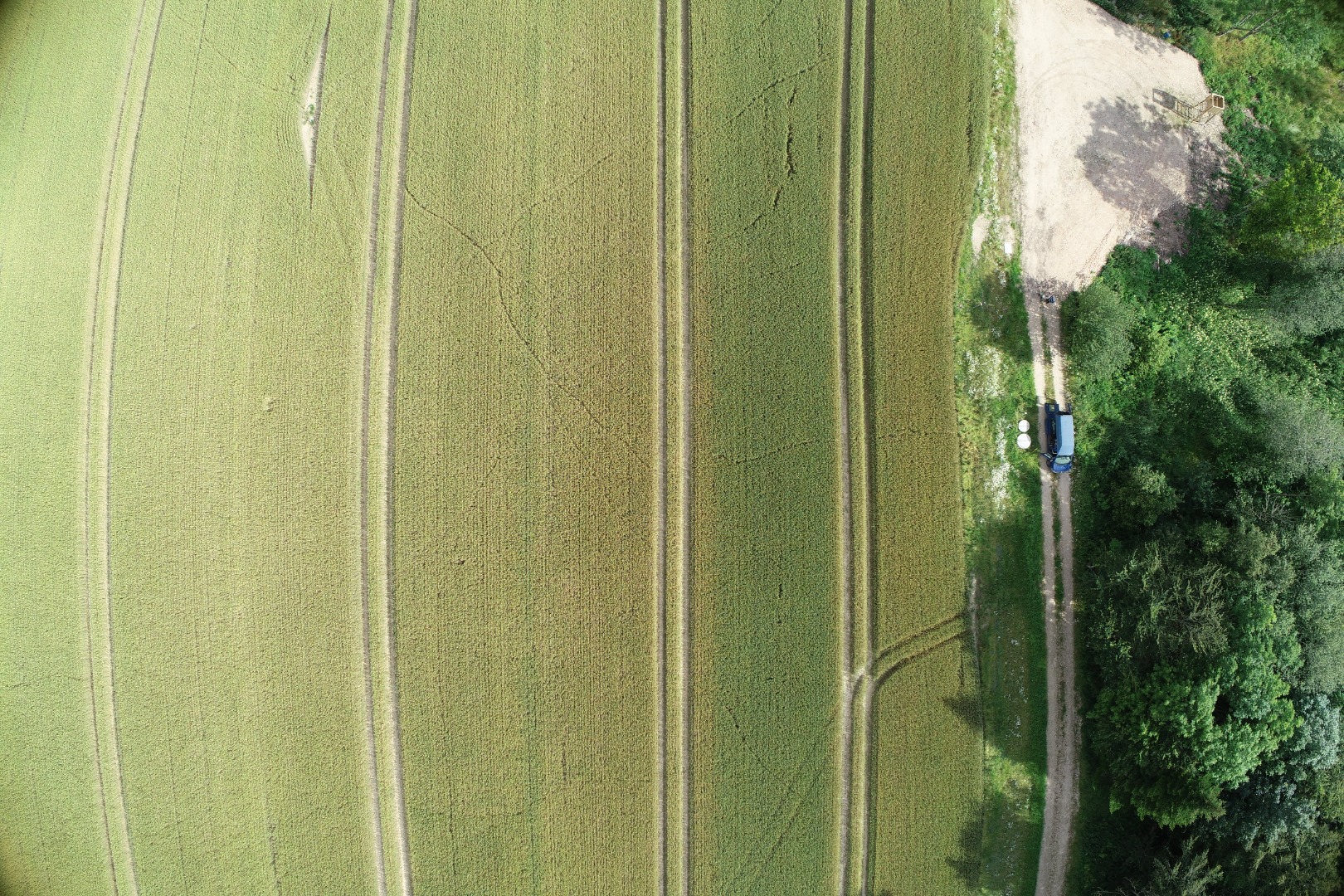
I have attached two images from the same area on the same site, as you can see on the edges of the images something is different.
I know these are difficult questions, as i don't have all the information, but i was not involved in the drone part of this task, but i have to use the software. My colleagues call the lower image for bird eye, and upper image they called distortion correction?
All the images with upper lens setting can't be processed.
Thx for the advice, that would have been my next question, if i could use the orthomosaic to use GCP.
- Mark as New
- Bookmark
- Subscribe
- Mute
- Subscribe to RSS Feed
- Permalink
- Report Inappropriate Content
According to the Quality Report, this project was processed at Rapid scale and the Camera Optimization values seem very high as well. Have you had any luck processing the project at Full Image Scale and selecting the Standard Calibration method with All Prior for Internal camera parameters?
- Mark as New
- Bookmark
- Subscribe
- Mute
- Subscribe to RSS Feed
- Permalink
- Report Inappropriate Content
This is the processingReport when running the full template. It takes 8 hours on my workstation, that's why we were running rapid template on most projects.
I also noticed the difference between Internal camera optimization and the initial values. Is there a option to disable the optimization in D2M 2.01?