https://www.flickr.com/photos/thewavingcat/218583023
So this isn't a new feature at all, it's been around almost as long as the API has, but I figured it was one of those things that may have been lost among all the other cool features of the ArcGIS API for JavaScript...
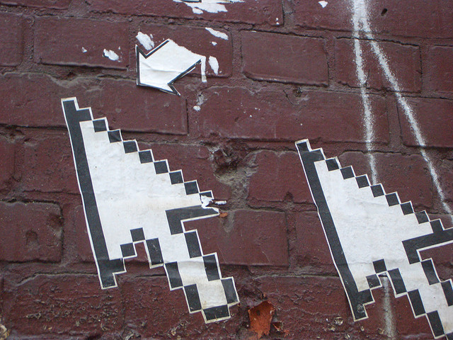
Changing the map cursor.
It's such a simple task, yet can add so much to your users experience when working with your application.
There is a method specifically for this. setMapCursor.
It's not difficult to do, you just pass the type or cursor you want into your app.
Maybe you've added the ability to click on the map open a Google Street View in a new window.
Well, hey, make a cursor that can specifically show that you are in the middle of a picking a spot on the map to do this.
Here is a demo of what this might look like.
Just do it!
Like I said, this isn't a new fancy functionality of the API and setting cursors in web apps is typically done via CSS. But, when you are performing certain actions within your application it would be nice to provide your users with some form of feedback that something is happening and one way to do this is via the map cursor.
For more geodev tips and tricks, check out my blog.