Hi,
I have AIS data (location of ships) stored in a PostgreSQL database retrieved via an Python script with an api connection. This data is updating every 5 minutes and creating new points. in ArcMap 10.6.1 the data is being displayed as a point layer.
I'm trying to connect the lines based on timestamp and sort by the name of the ship. But so far no success...
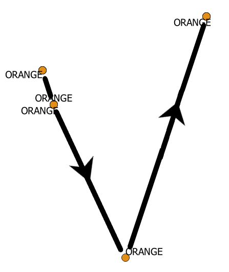
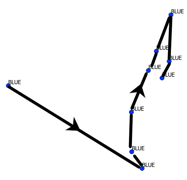
The idea that i'm having would look similar to the pictures underneath.
Does somebody know if this is even possible in ArcMap without creating an new layer like some of the toolbox functions do? basically it is just the appearance that has to change.
Many thanks!