- Home
- :
- All Communities
- :
- Products
- :
- Data Management
- :
- Geodatabase Questions
- :
- After register to geodatabase I can't see spatial ...
- Subscribe to RSS Feed
- Mark Topic as New
- Mark Topic as Read
- Float this Topic for Current User
- Bookmark
- Subscribe
- Mute
- Printer Friendly Page
After register to geodatabase I can't see spatial elements
- Mark as New
- Bookmark
- Subscribe
- Mute
- Subscribe to RSS Feed
- Permalink
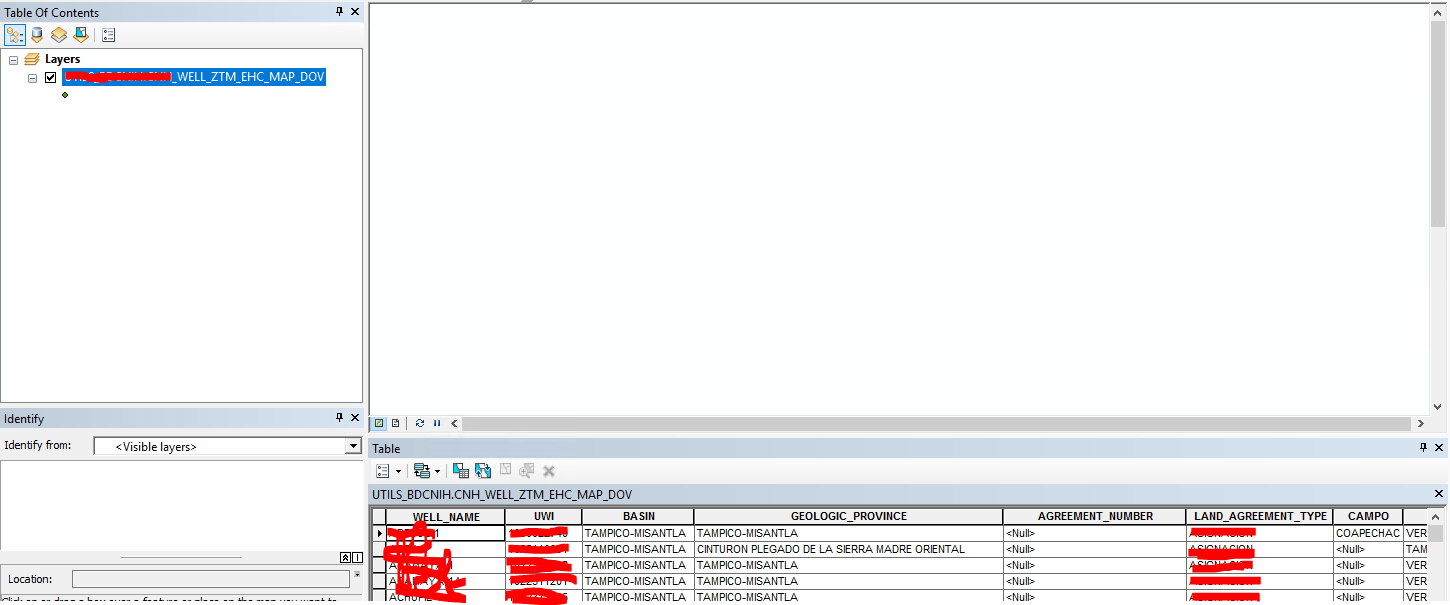
Good Morning, I have a problem when try register a spatial query with a geodatabase, the tool of ArcCatalog do everything well, but when I want see the feature layer in ArcMAP only I can see tabular information, do you know what happen?
- Mark as New
- Bookmark
- Subscribe
- Mute
- Subscribe to RSS Feed
- Permalink
Did you review this doc for all the requirements? Register a table or view with the geodatabase—ArcGIS Help | Documentation
What was the source that was registered, a DB view?
Is the view contained within the same GDB?
- Mark as New
- Bookmark
- Subscribe
- Mute
- Subscribe to RSS Feed
- Permalink
Hello George, thanks you by respons to my problem.
The source registered was a table created in oracle, this table have an field of type st_geometry called SHAPE and a field that has values unique and not null, this field works as OBJECTID.
Yes, this table is within the same GDB.
Yesterday I did a test, I exported the feature class to a file geodatabase and everything work ok, in ArcMAP I can see both the part spatial and data, my problem only is within GDB there, I can't see spatial elements, this GDB is in Oracle 12g and mi ArcGIS version is 10.5.1 license type Standard.
Thanks a lot for you time!!!
Schlumberger-Private
- Mark as New
- Bookmark
- Subscribe
- Mute
- Subscribe to RSS Feed
- Permalink
Hello George, thanks you by respons to my problem.
The source registered was a table created in oracle, this table have an field of type st_geometry called SHAPE and a field that has values unique and not null, this field works as OBJECTID.
Yes, this table is within the same GDB.
Yesterday I did a test, I exported the feature class to a file geodatabase and everything work ok, in ArcMAP I can see both the part spatial and data, my problem only is within GDB there, I can't see spatial elements, this GDB is in Oracle 12g and mi ArcGIS version is 10.5.1 license type Standard.
Thanks a lot for you time!!!
- Mark as New
- Bookmark
- Subscribe
- Mute
- Subscribe to RSS Feed
- Permalink
There must be an issue with the registration.
You may want to reach out to tech support on and create a case for this issue. It may be difficult to troubleshoot via GeoNet.
- Mark as New
- Bookmark
- Subscribe
- Mute
- Subscribe to RSS Feed
- Permalink
Thanks a lot George, I'll contact to technical support.
- Mark as New
- Bookmark
- Subscribe
- Mute
- Subscribe to RSS Feed
- Permalink
Enrique
Following the screenshot you added, it seems that the registering process understood you where working with a point feature class. I will focus on the OBJECTID filed:
- Does it follow the ESRI recomendations: numeric (specifically number 38) not null? Can you force this data type using CAST?
- Can you validate that there is no n-plicated values in that OBJECTID field?
Hope this helps
Jesús de Diego
- Mark as New
- Bookmark
- Subscribe
- Mute
- Subscribe to RSS Feed
- Permalink
Dear Jesús, thank you for you answer, efectly my OBJECTID is numeric like the picture attached and it doesn't accept values null.
The values in OBJECTID (BOTTOM_LOCATION_ID) it doesn't has repeates.
Yes, I'm working with a point feature class.
Thans for you time!!!
Schlumberger-Private