I am conducting a Tree Inventory and our GPS recorder was not accurate. I spent the time to move all the points around in GIS using the editor to place them in their correct locations. However, when I move the points, their latitude and longitude are not updated in the attribute table. So when I export the data to Excel, it does not have the updated coordinates. I want to export to Excel to have a database of all the tree information.
Is there a way to have latitude and longitude by a dynamic part of the attribute table? Or a way to update the new coordinates that have been dragged?
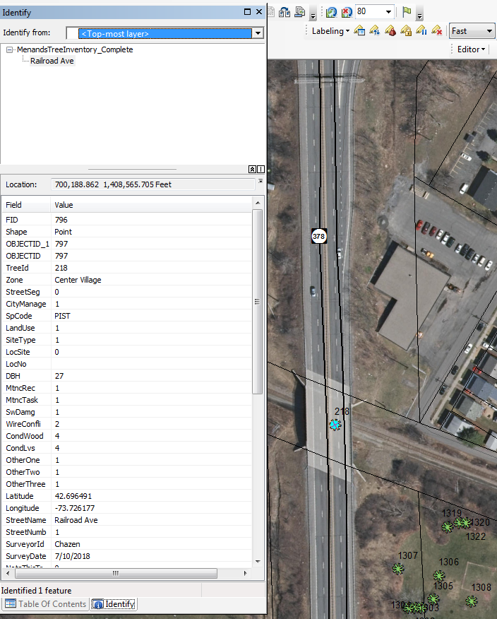
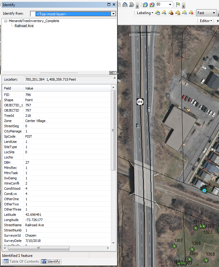
Please Help.
Thank you all!


