- Home
- :
- All Communities
- :
- User Groups
- :
- Elevation Data
- :
- Questions
- :
- No output with Project Raster tool
- Subscribe to RSS Feed
- Mark Topic as New
- Mark Topic as Read
- Float this Topic for Current User
- Bookmark
- Subscribe
- Mute
- Printer Friendly Page
No output with Project Raster tool
- Mark as New
- Bookmark
- Subscribe
- Mute
- Subscribe to RSS Feed
- Permalink
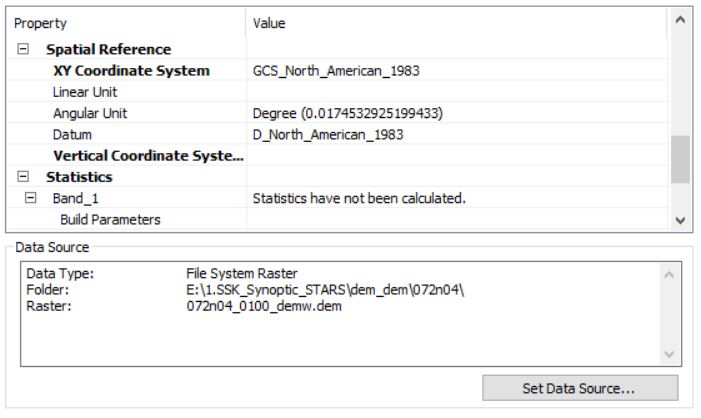
I have a USGSDEM file downloaded from NRCAN. It has a known geographic coordinate system (GCS_North_American_1983) so I don't have to define the projection. I want to project this dem into a UTM coordinate system so I can eventually delineate a watershed. When I run the Project Raster tool it shows that it is processing but it never produces an ouptut. There is no new projected raster dataset. Has anyone else run into this problem before? 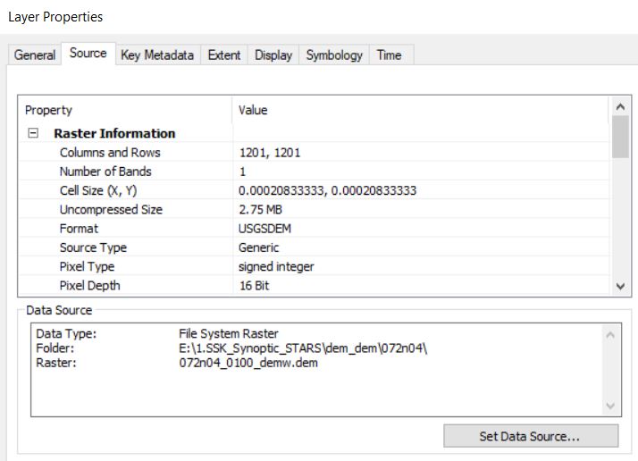
- Mark as New
- Bookmark
- Subscribe
- Mute
- Subscribe to RSS Feed
- Permalink
If it displays in ArcMap or Pro,, When you Project it, try specifying an output *tif* file format and don't begin files with a number. If you are still having trouble, make sure that you are saving to your local machine on your main hard drive to rule out 'destination' issues.
- Mark as New
- Bookmark
- Subscribe
- Mute
- Subscribe to RSS Feed
- Permalink
I found a way to make it work (I am using desktop 10.7 and working with files on an external hard drive). I don't know why the Project Raster tool didn't work, but here is what worked for me. I opened a blank map document and set the dataframe to the projected coordinate system I wanted, then opened the raster in the map. Right clicked on the raster in the TOC and selected export. In the export tool I set the raster format to GRID and under 'Spatial Reference" I selected 'Data Frame (current)'.
- Mark as New
- Bookmark
- Subscribe
- Mute
- Subscribe to RSS Feed
- Permalink
Try do it in ArcCatalog instead of ArcMap