- Home
- :
- All Communities
- :
- User Groups
- :
- Elevation Data
- :
- Questions
- :
- Export elevation profile to table
- Subscribe to RSS Feed
- Mark Topic as New
- Mark Topic as Read
- Float this Topic for Current User
- Bookmark
- Subscribe
- Mute
- Printer Friendly Page
Export elevation profile to table
- Mark as New
- Bookmark
- Subscribe
- Mute
- Subscribe to RSS Feed
- Permalink
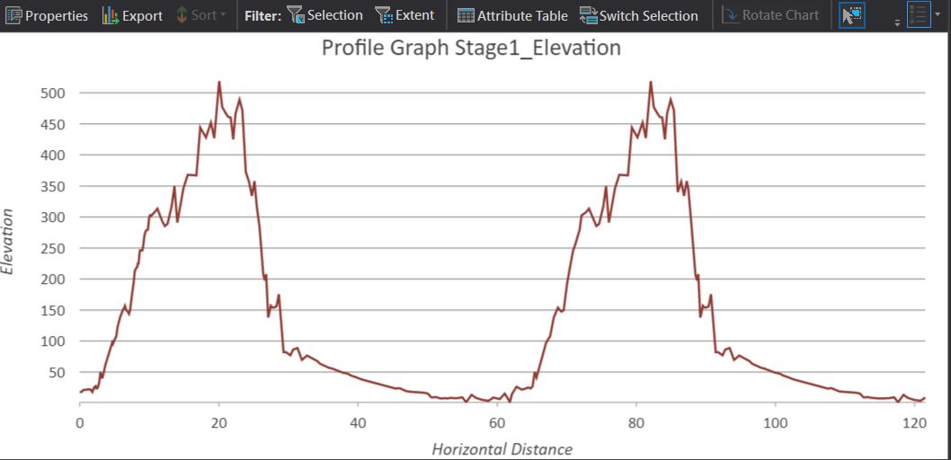
Using Pro it is possivle to create an elevation profile for a feature; however this can only be exported as an image.
Could an option be added to export as a table, csv or similar?
Current workaround is to create points along the lines, add XY data and surface information and export this way (needing to compute euclidean distance between the XY points too). Which is a long way round to duplicate something the software is already computing.
Regards,
James
- Mark as New
- Bookmark
- Subscribe
- Mute
- Subscribe to RSS Feed
- Permalink
I'd add that it would be very helpful to have the ability to export these statistics for a number of selected route features. We have 100s of routes to compare and balance level of effort and seeing this info in a table that could be sorted would help. Or even if there were a way to attach these stats to the route line objects.