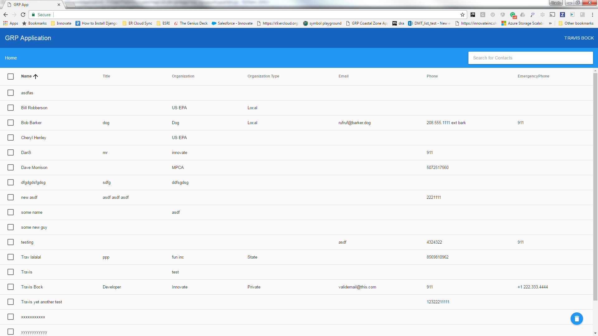
The United States Environmental Protection Agency’s Emergency Response team is tasked with preparing response plans in order to prepare for major environmental incidents. These plans are grouped into distinct geographic areas, thus they are called Geographic Response Plans (GRPs). At this time the GRPs are only maintained in text form. The plans are written up using Microsoft Word and filed as hard paper copies or saved as PDFs to be retrieved in the event of an actual emergency. These plans often require input from many different subject matter experts and stakeholders that work inside and outside of the EPA and are spread across a large geographic area. GRPs are spatially oriented by definition and therefore the utilisation of Geographic Information System (GIS) can be of great service to the development and maintenance of these GRPs.
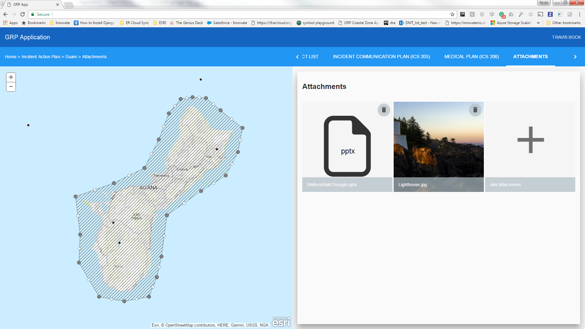
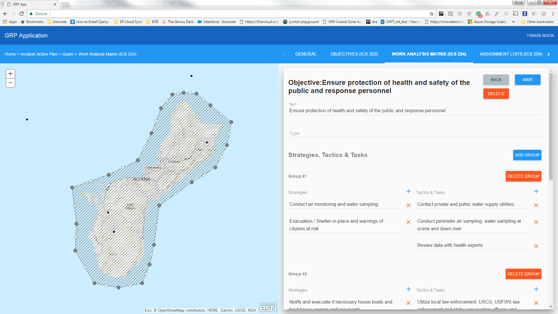
Due to this dataset spanning three feature classes and twenty related tables with several many-to-many relationships, the developers were unable to utilise any “off the shelf” applications. Instead, we created a web mapping application utilising AngularJS, Angular Material and the Esri JS API via the angular-esri-map library This application now allows EPA staff to enter the necessary information and then easily send a link to anyone, with the proper ArcGIS Online permissions, in order for them to apply their expertise to specific sections of the GRP. Once a plan is completed a report will then be generated in the form of a PDF that can be printed and taken into the field in the event of an emergency. The report is dynamically generated in a geoprocessing service utilising the ReportLab Python library.
The web application provides a clear, attractive and targeted user interface with a level of automatic data validation which is unavailable through manual compilation or through newer shared document editing. This newly developed application provides a central place to create and maintain GRPs as well as location in which to access the most recent plan in the event of an emergency.