- Home
- :
- All Communities
- :
- Products
- :
- Data Management
- :
- Data Management Questions
- :
- Re: XY data field type(string and long)
- Subscribe to RSS Feed
- Mark Topic as New
- Mark Topic as Read
- Float this Topic for Current User
- Bookmark
- Subscribe
- Mute
- Printer Friendly Page
- Mark as New
- Bookmark
- Subscribe
- Mute
- Subscribe to RSS Feed
- Permalink
- Report Inappropriate Content
Hi, I am a student and trying to manage xy data. I have a text, that include 4 things (x, y, Angle, Velocity). The problem is that when I display the xy data in gis, the anlge and velocity should be string(eg.1.231321321231). But actually, it was regarded to be Long in Gis. So most of the number cannot be illustrate in the table.
Can anyone tell me how can I change the data field type??
Solved! Go to Solution.
Accepted Solutions
- Mark as New
- Bookmark
- Subscribe
- Mute
- Subscribe to RSS Feed
- Permalink
- Report Inappropriate Content
Use the Table to Table tool to convert cvs files or tab deliminted text files to a table first. It lets you set up the field mapping.
If you rely on the automatic conversion of a text file by other tools that do not let you control the field mapping, make sure the first row with a number in it is formatted as decimal. For example, change 90 to 90.0 or 0 to 0.0 in the first row with a number in it for each field.
- Mark as New
- Bookmark
- Subscribe
- Mute
- Subscribe to RSS Feed
- Permalink
- Report Inappropriate Content
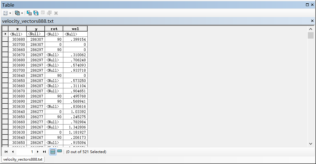 Some number in the rot miss
- Mark as New
- Bookmark
- Subscribe
- Mute
- Subscribe to RSS Feed
- Permalink
- Report Inappropriate Content
Use the Table to Table tool to convert cvs files or tab deliminted text files to a table first. It lets you set up the field mapping.
If you rely on the automatic conversion of a text file by other tools that do not let you control the field mapping, make sure the first row with a number in it is formatted as decimal. For example, change 90 to 90.0 or 0 to 0.0 in the first row with a number in it for each field.
- Mark as New
- Bookmark
- Subscribe
- Mute
- Subscribe to RSS Feed
- Permalink
- Report Inappropriate Content
Oh, yes, it work after I change the first line includes 90.0 it works right .Thannk you Richard!!
Da