Turn on suggestions
Auto-suggest helps you quickly narrow down your search results by suggesting possible matches as you type.
Cancel
- Home
- :
- All Communities
- :
- Products
- :
- Data Management
- :
- Data Management Questions
- :
- USGS DEM issues??
Options
- Subscribe to RSS Feed
- Mark Topic as New
- Mark Topic as Read
- Float this Topic for Current User
- Bookmark
- Subscribe
- Mute
- Printer Friendly Page
USGS DEM issues??
Subscribe
871
0
05-25-2012 04:26 AM
05-25-2012
04:26 AM
- Mark as New
- Bookmark
- Subscribe
- Mute
- Subscribe to RSS Feed
- Permalink
Hello,
I am trying to run an spatial analysis on a line using elevation data and a polyline running through mulitple counties.
I'm using http://seamless.usgs.gov/ to get my elevation. But when I add it in my .mxd its boundries have shrunk greatly.
I orignally thought it may be a projection issue. But I made sure my data frame was in GCS_North_american_1983
to match the NED from usgs in GCS_North_american_1983
Any ideas?
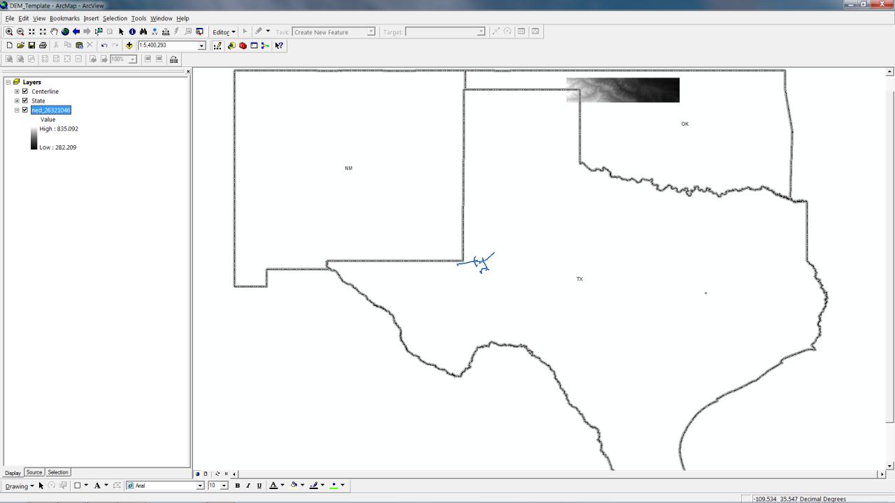
Attached is a screen grab. The DEM shown in OK should actually take up most of OK.
I am trying to run an spatial analysis on a line using elevation data and a polyline running through mulitple counties.
I'm using http://seamless.usgs.gov/ to get my elevation. But when I add it in my .mxd its boundries have shrunk greatly.
I orignally thought it may be a projection issue. But I made sure my data frame was in GCS_North_american_1983
to match the NED from usgs in GCS_North_american_1983
Any ideas?
Attached is a screen grab. The DEM shown in OK should actually take up most of OK.
0 Replies