- Home
- :
- All Communities
- :
- Products
- :
- Data Management
- :
- Data Management Questions
- :
- Re: Trouble with data: Australia
- Subscribe to RSS Feed
- Mark Topic as New
- Mark Topic as Read
- Float this Topic for Current User
- Bookmark
- Subscribe
- Mute
- Printer Friendly Page
Trouble with data: Australia
- Mark as New
- Bookmark
- Subscribe
- Mute
- Subscribe to RSS Feed
- Permalink
Hello all,
I'm running ArcGIS 10.2.1 for Desktop, with a basic license.
I'm trying to display a data layer of forest types in Australia. I got the data from the following source:
Forests Australia Article Details
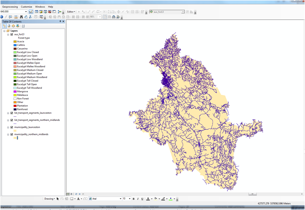
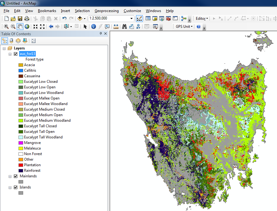
When I import the data into ArcMap, the layer does not display. Arc appears to recognize the extent, because when I Zoom To Layer it snaps to the scale of the entire continent. I've zoomed into the region of Tasmania containing my study area in the map below. The background data layers are the municipalities and road segments. The forest layer should be overlain, but it isn't, as you can see:
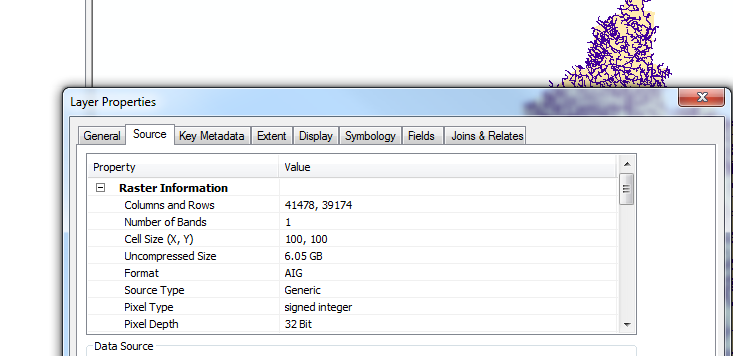
See the layer properties:
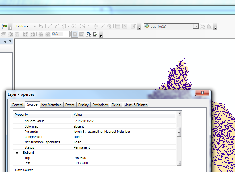
More properties:
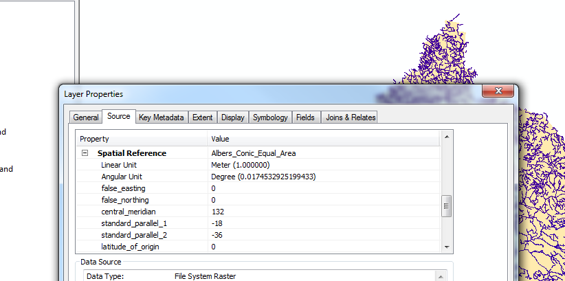
Datum: D_GDA_1994
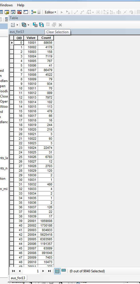
Attributes appear to be missing as well.
My GIS skill is perhaps a bit rusty, and this may be a very straightforward fix I'm forgetting. I've encountered problems using data downloaded from Australia in the past. Does anyone have experience with projecting these data? I'm in conversation with GIS administrators at the source agency, but that has not led anywhere to this point. The 14 hour time difference between EST and Melbourne makes communicating more than once a day difficult, so I'm hoping someone on this forum sees what's wrong and can help me straighten this out.
Thanks in advance for any help or feedback this community can provide.
Joe
- Mark as New
- Bookmark
- Subscribe
- Mute
- Subscribe to RSS Feed
- Permalink
I just tested this using ArcMap 10.2.2 and the data seems fine. The data uses the GDA_1994_Albers projection. I also changed the projection of the map to UTM Zone 55 (GDA 94) and added some other Australian data and it all lines up:
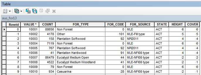
The attribute table is also complete:
The first thing to try is downloading the data again - the missing fields in the attribute table is odd. After that I would check that your other Tasmanian data has a valid spatial reference applied.
What is the spatial reference of the map data frame and your other layers?