- Home
- :
- All Communities
- :
- Products
- :
- Data Management
- :
- Data Management Questions
- :
- Re: raster mosaic mysteries?
- Subscribe to RSS Feed
- Mark Topic as New
- Mark Topic as Read
- Float this Topic for Current User
- Bookmark
- Subscribe
- Mute
- Printer Friendly Page
raster mosaic mysteries?
- Mark as New
- Bookmark
- Subscribe
- Mute
- Subscribe to RSS Feed
- Permalink
I'm trying to create a mosaic of first-returns lidar data (from a 2006 USGS acquisition for a large watershed in WA State which only produced a bare earth DEM). I downloaded approx. 80 tiles data, each 1/4 of a USGS quadrangle from the Puget Sound Lidar Consortium. Here's a capture of the tiles (the orange polygon is my area of interest.) It an older lidar dataset so there's some pixel gaps. and the water in the river hasn't been interpolated well.
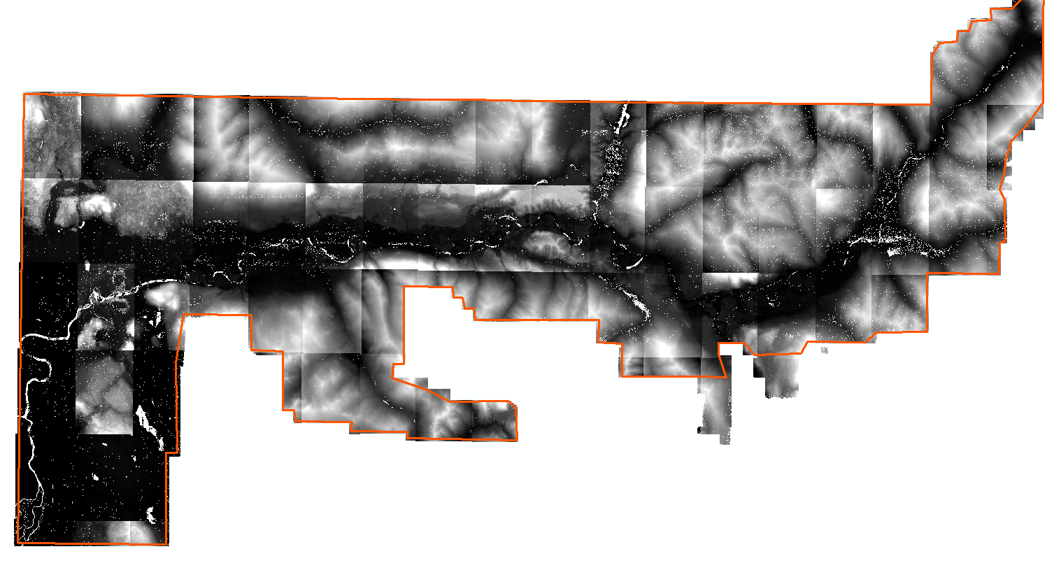
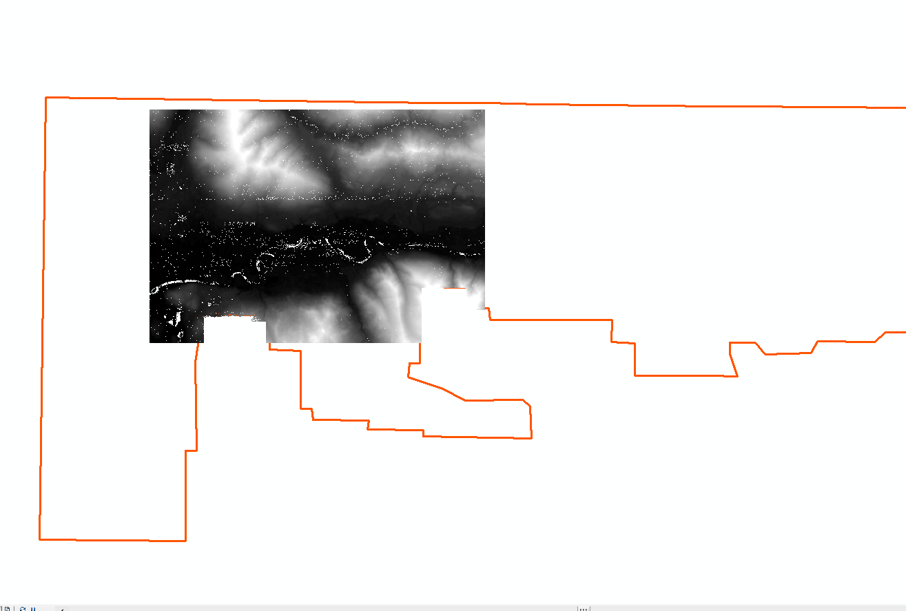
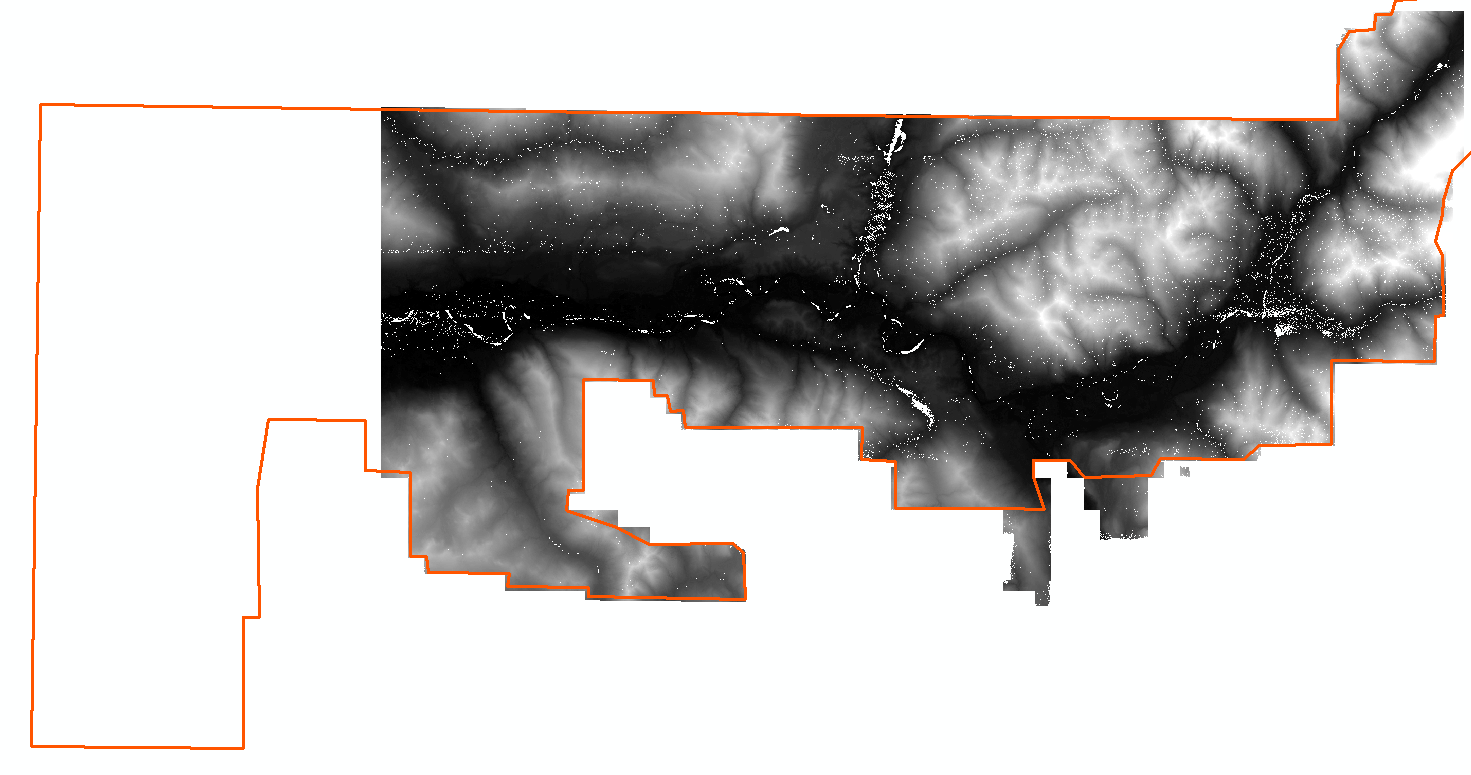
I followed "typical" steps of creating a raster mosaic dataset and then exporting the tiled raster data to get a .tiff or grid to work with (I want to create canopy and vegetation coverage rasters for riparian assessments). I get odd results (see 2 below). Not all the mosaic seems to come through the processes, and I'm curious if anyone has a clue what's up, and how to get the whole to knit together. Also, anyone have a script for extracting the rasters from their .e00 folders?
- Mark as New
- Bookmark
- Subscribe
- Mute
- Subscribe to RSS Feed
- Permalink
Check your mosaic dataset properties, and see if it has a maximum number of rasters set.
- Mark as New
- Bookmark
- Subscribe
- Mute
- Subscribe to RSS Feed
- Permalink
To your second question, what exactly do you mean by "extract the rasters"? Open them, add them to the mosaic, or something else?
- Mark as New
- Bookmark
- Subscribe
- Mute
- Subscribe to RSS Feed
- Permalink
I'm not an expert on lidar, so won't even try to answer that, however...
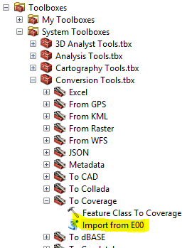
Are your .e00 the old coverage/grid format? I know it is still possible to load ArcInfo Workstation 10.0 and have it run with ArcGIS Desktop 10.3, if that is what you are needing for extracting the .e00 files. This is an old thread COMMENT: ArcGIS 10.2 and ArcInfo Workstation (works without uninstall) but should help get it setup. I run them side-by-side still.
It's also supposed to be available in Desktoop, but I've never tried it.
Just in case you want to go thru that process.