- Home
- :
- All Communities
- :
- Products
- :
- Data Management
- :
- Data Management Questions
- :
- Re: Labeling Survey Points
- Subscribe to RSS Feed
- Mark Topic as New
- Mark Topic as Read
- Float this Topic for Current User
- Bookmark
- Subscribe
- Mute
- Printer Friendly Page
Labeling Survey Points
- Mark as New
- Bookmark
- Subscribe
- Mute
- Subscribe to RSS Feed
- Permalink
I've been asked to inventory culverts in my work region which means a lot of survey points. I've been trying to label all these points into a user friendly map to show to my municipality representatives. Here's what I've gotten so far (see attached) , but my labels are still to "ugly" some of them have been placed so that the leaders overlap other leaders and other various issues. Can I manually tweak the position of labels? Any tips or advice would be much appreciated.
- Mark as New
- Bookmark
- Subscribe
- Mute
- Subscribe to RSS Feed
- Permalink
Jonathan,
It's hard to see your screenshot. Can you make it bigger?
Either way, have you enabled the Maplex Label Engine?
Maplex has many options of manipulating labels to help make them look nicer.
- Mark as New
- Bookmark
- Subscribe
- Mute
- Subscribe to RSS Feed
- Permalink
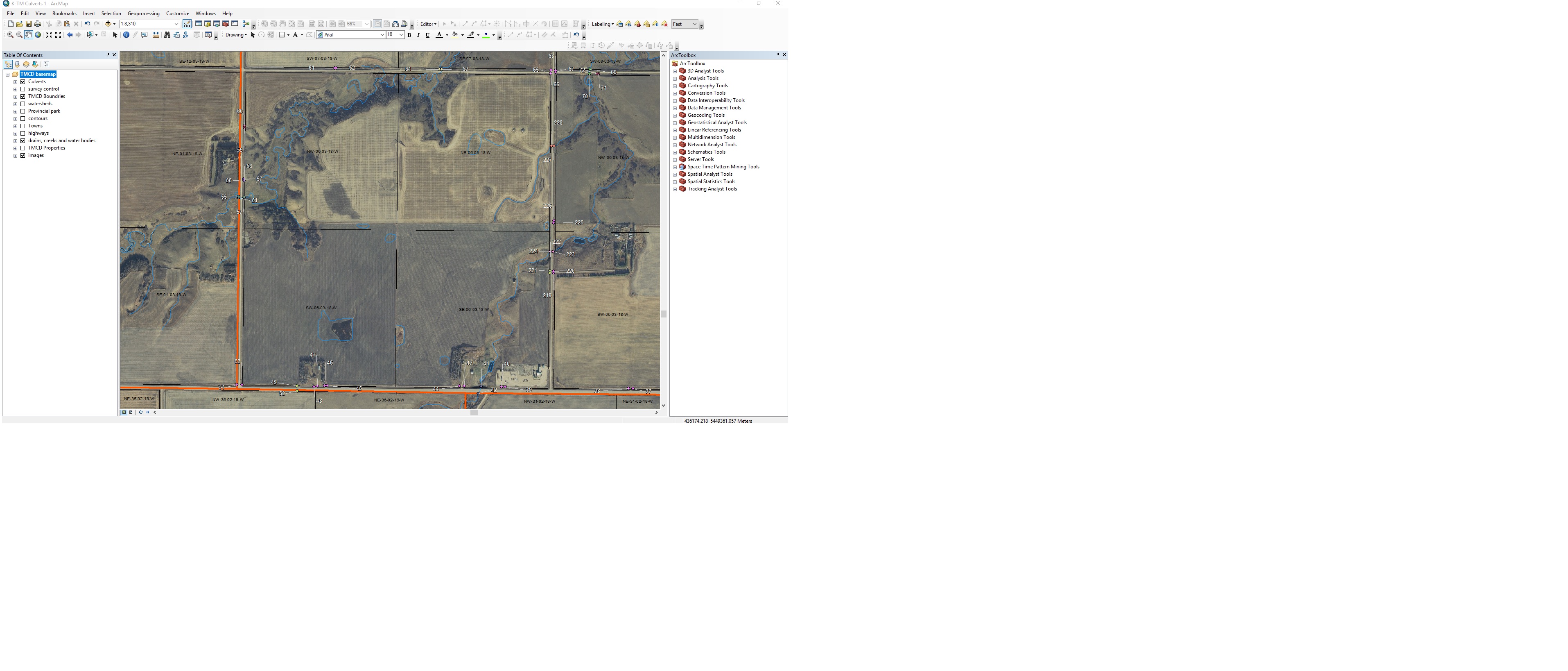
here's a more zoomed in screen shot, The quality isn't great but basically the issue I'm left with now (using Maplex) is my leaders crossing over each other. Is there a way to select that specific label and move it manually? MidnightYell2003
- Mark as New
- Bookmark
- Subscribe
- Mute
- Subscribe to RSS Feed
- Permalink
Yes, you can convert your labels to annotation, then you have the freedom to do whatever you want with them:
- Mark as New
- Bookmark
- Subscribe
- Mute
- Subscribe to RSS Feed
- Permalink
Thanks, I'll give this a try and see how it goes.
- Mark as New
- Bookmark
- Subscribe
- Mute
- Subscribe to RSS Feed
- Permalink
Johnathan, were you able to find success with this?