- Home
- :
- All Communities
- :
- Products
- :
- Data Management
- :
- Data Management Questions
- :
- Re: How to digitize a contour map (PDF) to generat...
- Subscribe to RSS Feed
- Mark Topic as New
- Mark Topic as Read
- Float this Topic for Current User
- Bookmark
- Subscribe
- Mute
- Printer Friendly Page
How to digitize a contour map (PDF) to generate a DEM layer?
- Mark as New
- Bookmark
- Subscribe
- Mute
- Subscribe to RSS Feed
- Permalink
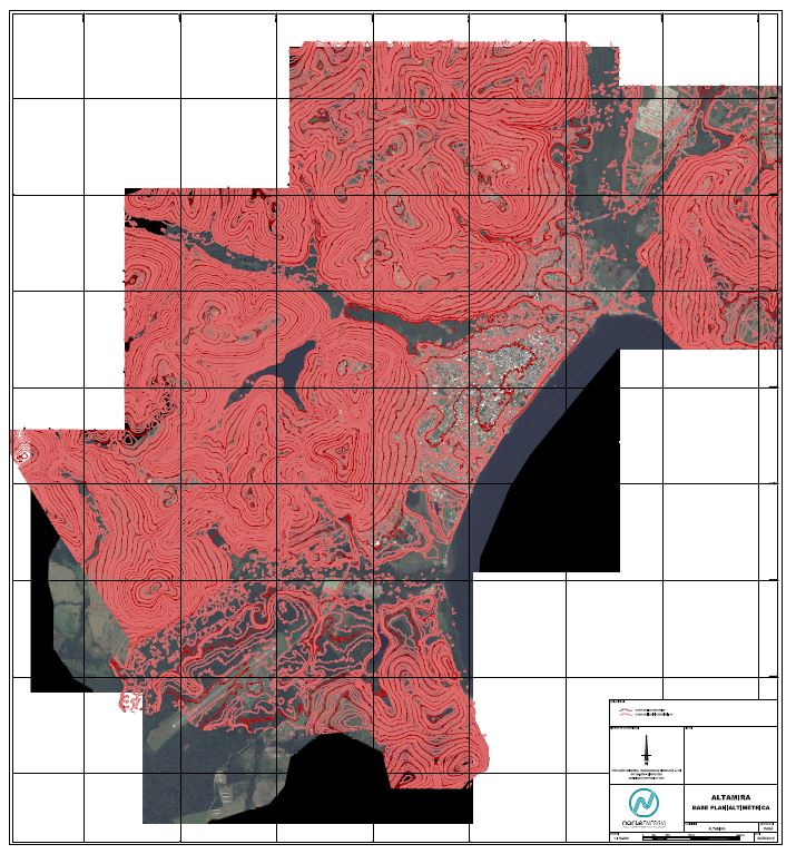
Hi all, I'm trying to convert a contour map (PDF file) to a DEM layer in ArcMap. The contour lines are at 1-meter interval and digitalizing them all manually is too time-consuming for my project due to time limitation. Can anyone offer some suggestions for me to do it in a more efficient way? Thank you, L.
- Mark as New
- Bookmark
- Subscribe
- Mute
- Subscribe to RSS Feed
- Permalink
I think I would spend the time trying to track down the original dem and re-contour if possible. Nothing will make this task easier. Maybe you can convert the image to vector lines, but assigning them meaningful values will be difficult.
- Mark as New
- Bookmark
- Subscribe
- Mute
- Subscribe to RSS Feed
- Permalink
Thank you for the suggestion. I will do it manually.
- Mark as New
- Bookmark
- Subscribe
- Mute
- Subscribe to RSS Feed
- Permalink
I can't see contour line values. If it not in your PDF that mean not to be DEM never.
- Mark as New
- Bookmark
- Subscribe
- Mute
- Subscribe to RSS Feed
- Permalink
There is value in every contour line which is not displayed in the screenshot. Thanks for the reminder.
- Mark as New
- Bookmark
- Subscribe
- Mute
- Subscribe to RSS Feed
- Permalink
the values may be on the screen, but you need to create the value in a polylineZ featureclass or add a Z field to your table, otherwise you will just end up with a bunch of lines with no z values should you need to construct a dem from them
- Mark as New
- Bookmark
- Subscribe
- Mute
- Subscribe to RSS Feed
- Permalink
Thanks for the guidance.
- Mark as New
- Bookmark
- Subscribe
- Mute
- Subscribe to RSS Feed
- Permalink
Look into the ArcScan toolset. Part of its functionality includes converting raster to vector. You will still need to hand attribute, but perhaps you can avoid hand digitizing.
Best Regards,
Jim