Turn on suggestions
Auto-suggest helps you quickly narrow down your search results by suggesting possible matches as you type.
Cancel
- Home
- :
- All Communities
- :
- Products
- :
- Data Management
- :
- Data Management Questions
- :
- Re: disabling export tool for particular users,
Options
- Subscribe to RSS Feed
- Mark Topic as New
- Mark Topic as Read
- Float this Topic for Current User
- Bookmark
- Subscribe
- Mute
- Printer Friendly Page
disabling export tool for particular users,
Subscribe
1944
3
04-14-2013 01:21 PM
04-14-2013
01:21 PM
- Mark as New
- Bookmark
- Subscribe
- Mute
- Subscribe to RSS Feed
- Permalink
disabling export tool for particular users,
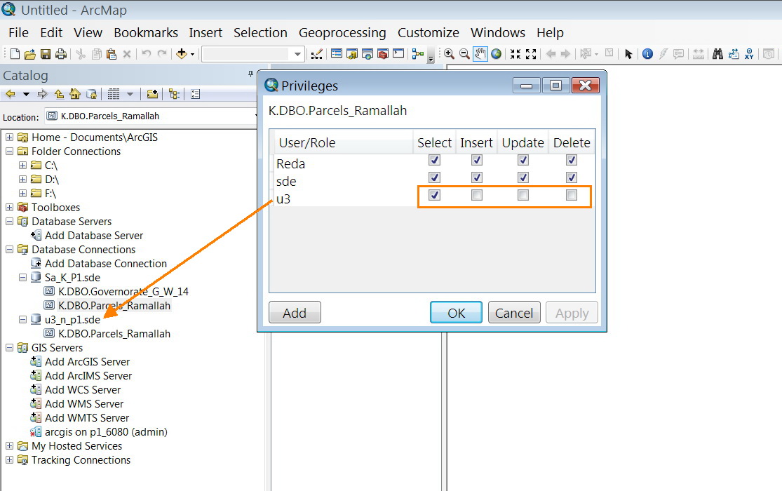
I�??m wondering if there is a way to disable the export tool for particular users such that those users will never be able to copy/export/store the date (features class)
[ATTACH=CONFIG]23484[/ATTACH], [ATTACH=CONFIG]23485[/ATTACH], [ATTACH=CONFIG]23486[/ATTACH]
Is that possible?
Is this done in SQL or ArcGIS?
Thank you
Best
Jamal
----------------------------------------
Jamal Numan
Geomolg Geoportal for Spatial Information
Ramallah, West Bank, Palestine
Jamal Numan
Geomolg Geoportal for Spatial Information
Ramallah, West Bank, Palestine
3 Replies
by
Anonymous User
Not applicable
04-14-2013
03:49 PM
- Mark as New
- Bookmark
- Subscribe
- Mute
- Subscribe to RSS Feed
- Permalink
Original User: vangelo
No, it's not possible. Any user with SELECT access to a table can find a way
to export that data.
- V
No, it's not possible. Any user with SELECT access to a table can find a way
to export that data.
- V
04-15-2013
03:14 AM
- Mark as New
- Bookmark
- Subscribe
- Mute
- Subscribe to RSS Feed
- Permalink
Jamal,
Any users not allowed to export data, should probably not be using ArcGIS for Desktop at all... there is just to many access points to data and tools for data conversion.
Instead, they probably should be using some custom web-application to access non-editable ESRI Image or OGC WMS services serving out just images and not true features. By the way: you can access these webservices too through the ArcMap interface. This might be a part solution: make the Feature Classes only directly accessible to the geodatabase administrator, and than create ESRI Map / Image or WMS webservices using ArcGIS for Server to allow access to other users from within ArcMap.
If the users do need editing capabilities, than a custom web editing application using ESRI Feature Services or OGC WFS-T (transactional WFS) might be in order, but that would still allow access to feature geometry data somehow, but at least not directly from an interface like ArcGIS for Desktop with its many options...
by
Anonymous User
Not applicable
04-15-2013
02:13 PM
- Mark as New
- Bookmark
- Subscribe
- Mute
- Subscribe to RSS Feed
- Permalink
Original User: [email protected]
Many thanks Vince and Marco for the very useful answer,
I thought that there might be a simple approach to grant users permissions for editing only without being able to export/copy the data
Best
Jamal
Jamal,
Any users not allowed to export data, should probably not be using ArcGIS for Desktop at all... there is just to many access points to data and tools for data conversion.
Instead, they probably should be using some custom web-application to access non-editable ESRI Image or OGC WMS services serving out just images and not true features. By the way: you can access these webservices too through the ArcMap interface. This might be a part solution: make the Feature Classes only directly accessible to the geodatabase administrator, and than create ESRI Map / Image or WMS webservices using ArcGIS for Server to allow access to other users from within ArcMap.
If the users do need editing capabilities, than a custom web editing application using ESRI Feature Services or OGC WFS-T (transactional WFS) might be in order, but that would still allow access to feature geometry data somehow, but at least not directly from an interface like ArcGIS for Desktop with its many options...
Many thanks Vince and Marco for the very useful answer,
I thought that there might be a simple approach to grant users permissions for editing only without being able to export/copy the data
Best
Jamal