Turn on suggestions
Auto-suggest helps you quickly narrow down your search results by suggesting possible matches as you type.
Cancel
- Home
- :
- All Communities
- :
- Products
- :
- Data Management
- :
- Data Management Questions
- :
- Creating Basin Mask for NetCDF File
Options
- Subscribe to RSS Feed
- Mark Topic as New
- Mark Topic as Read
- Float this Topic for Current User
- Bookmark
- Subscribe
- Mute
- Printer Friendly Page
Creating Basin Mask for NetCDF File
Subscribe
1046
0
03-12-2012 05:06 AM
03-12-2012
05:06 AM
- Mark as New
- Bookmark
- Subscribe
- Mute
- Subscribe to RSS Feed
- Permalink
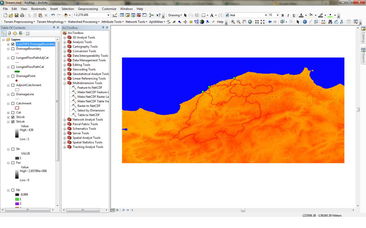
Hello, I have a large rectangular domain (topography) in NetCDF file and I am supposed to create a basin mask for further rainfall processing inside the domain. I have defined the basin borders I will use, but don't know what to do next. I have to assign the value -9999 to every pixel outside my basins , so the model simulator I will use later won't operate on unnecessary land.
The file attached shows the screenshot of my domain and needed basins to give you an idea. As a note: my basin borders are currently imported from CAD file as Polygons.
I will be faithful if someone can offer some step-by-step process that I'm supposed to do.
Thanks in advance,
Al
The file attached shows the screenshot of my domain and needed basins to give you an idea. As a note: my basin borders are currently imported from CAD file as Polygons.
I will be faithful if someone can offer some step-by-step process that I'm supposed to do.
Thanks in advance,
Al
0 Replies