- Home
- :
- All Communities
- :
- Products
- :
- Data Management
- :
- Data Management Questions
- :
- Re: Counting points in buffers
- Subscribe to RSS Feed
- Mark Topic as New
- Mark Topic as Read
- Float this Topic for Current User
- Bookmark
- Subscribe
- Mute
- Printer Friendly Page
Counting points in buffers
- Mark as New
- Bookmark
- Subscribe
- Mute
- Subscribe to RSS Feed
- Permalink
Hi All,
Up until now, everyone on this forum has saved my bacon, so I thougt I would try my luck again! I am counting facilites (points) within buffers using spatial joing and sum, the problem, however, is this: when I do a 'blind eye' count, the count is 2, for example, in buffer A yet when I look at the spatial join count it shows as 10! Could someone suggest why this would occur? The points are listed as "multipoints" in the geography type, would this distort the count and if yes, how do I rectify this issue?
Thanking you in advance!
- Mark as New
- Bookmark
- Subscribe
- Mute
- Subscribe to RSS Feed
- Permalink
Hi Dan,
Thank you as always for speedy reply. Could you detail the step by step process I would need to undertake to do this? I am not per se interested in speed / time, however, I have googled the process and tried to add time but the analysis keeps failing, see below, I have added parameters and evaluators (at least I think I have!) and still not working. Any advice would be very helpful. Neither data inputs have a time table, which I have tried to add using field calculator but it won't give me that option...
- Mark as New
- Bookmark
- Subscribe
- Mute
- Subscribe to RSS Feed
- Permalink
You missed my point... you have to add a time field to your table, and calculate time from the Shape length (aka distance) and some 'speed limit'. if you have distance, distance/unit time you can calculate time.
- Mark as New
- Bookmark
- Subscribe
- Mute
- Subscribe to RSS Feed
- Permalink
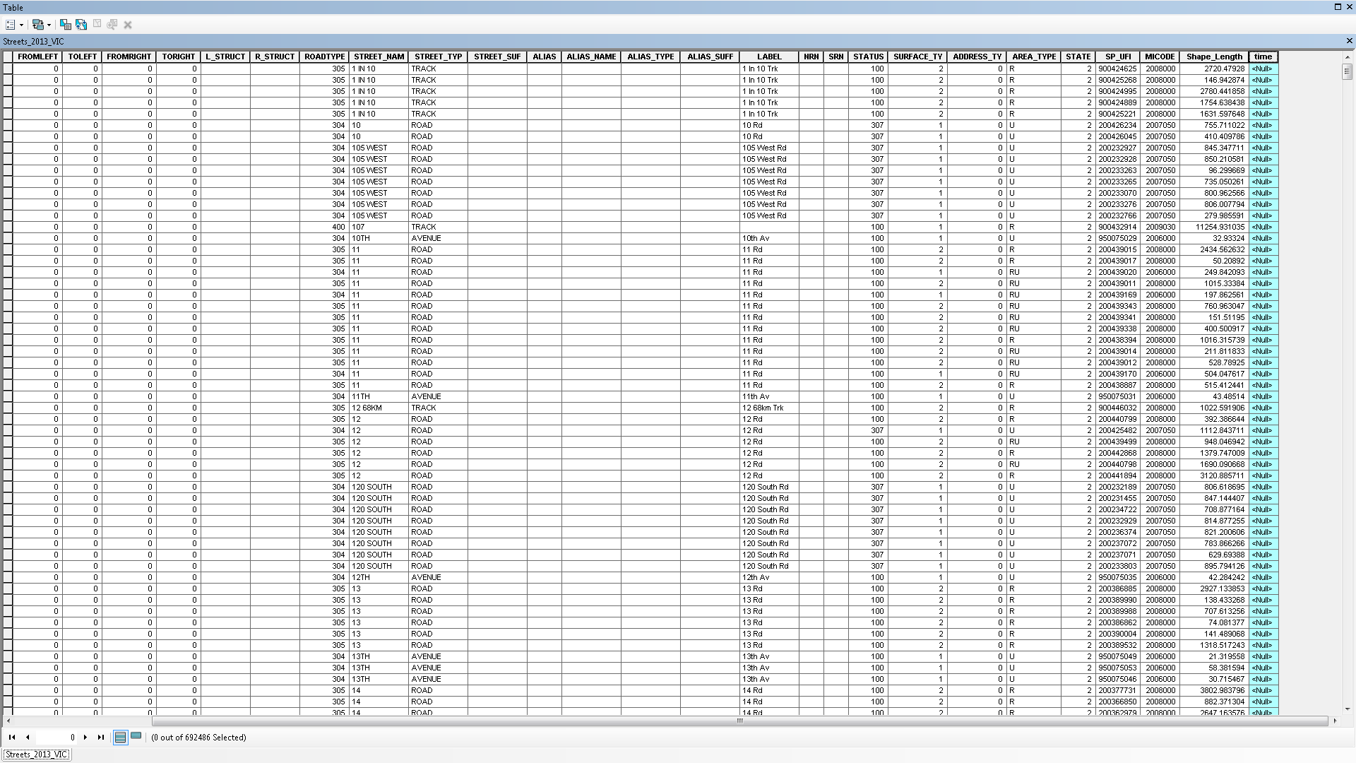
Hi Dan,
I was able to add a time field in my table but I can't use field calculator to set a time, see blue... (eg. (length/mph*60)). I can't input that formula for some reason...
- Mark as New
- Bookmark
- Subscribe
- Mute
- Subscribe to RSS Feed
- Permalink
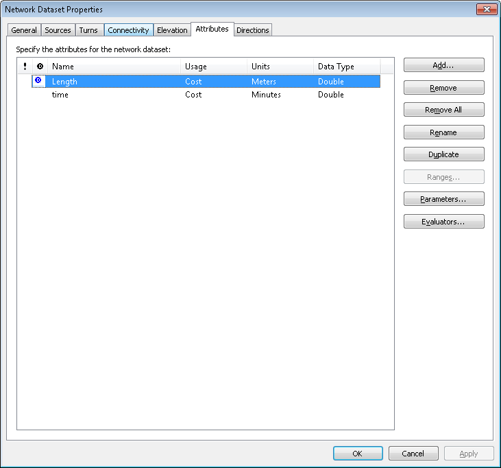
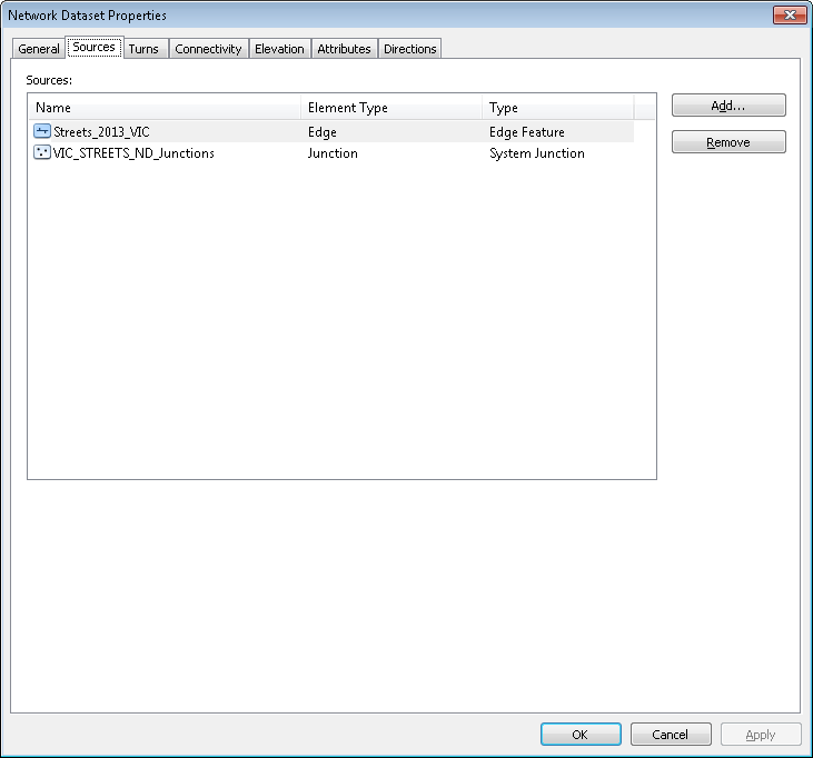
Hi Dan,
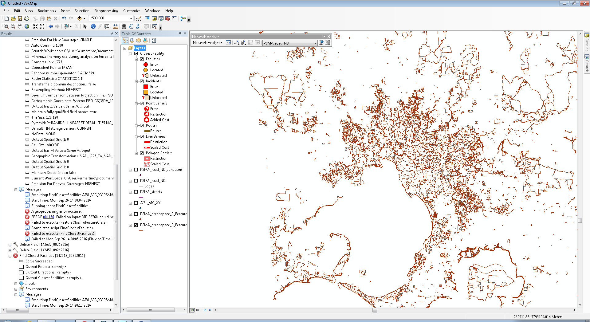
I set up a new network dataset and was able to apply a speed limit of 60p.h, however, when I run find nearest facility, still no output  (see left column)
- Mark as New
- Bookmark
- Subscribe
- Mute
- Subscribe to RSS Feed
- Permalink
not seeing a proper road network... the map isn't import right now.... did you calculate the required values in a field and use that field as suggested.... this is getting off topic as well. You should branch this whole network issue, since the thread and its title have diverged some time ago
- « Previous
-
- 1
- 2
- Next »
- « Previous
-
- 1
- 2
- Next »